Negoslavci
Located in Municipality of Negoslavci, Vukovar-Srijem County Coordinates: 45°16′46″ N 18°59′48″ E
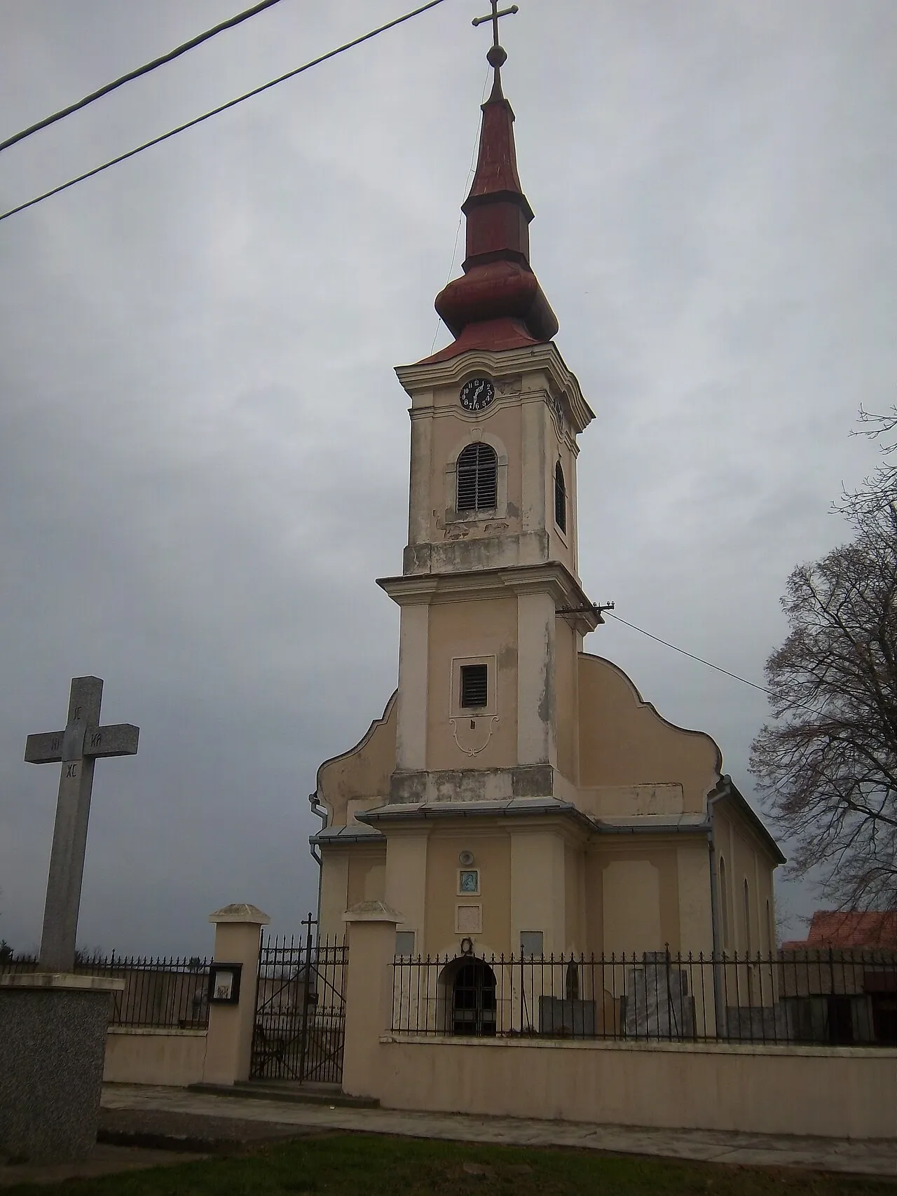
- Population
- 983
- 983
- Elevation
- 107 m
- above sea level
- Local time
- UTC+01:00
- Europe/Zagreb · UTC+01:00
- Airports
- OSI Osijek Airport25 km
- TZL Tuzla International Airport94 km
About Negoslavci
Negoslavci is a city. Location: Municipality of Negoslavci, Vukovar-Srijem County. Population: 983. Elevation: 107 m.
Negoslavci (Serbian Cyrillic: Негославци, Hungarian: Negoszlovce) is a village and a municipality in Vukovar-Syrmia County in eastern Croatia. It is located south of the town of Vukovar, seat of the county. Landscape of the Negoslavci Municipality is marked by the Pannonian Basin plains and agricultural fields of maize, wheat, common sunflower and sugar beet.
Source: Wikipedia · CC BY-SA 4.0
Photos of Negoslavci
-

MirkoS18 · CC BY-SA 4.0 -

MirkoS18 · CC BY-SA 4.0 -

Vuka No machine-readable author provided. Goran.Smith2~commonswiki assumed · CC BY-SA 2.5 -

Vučedol Darkobilandzic · CC BY-SA 4.0 -

Šarengradska Ada Modzzak · CC BY-SA 3.0


Places bordering Negoslavci
- Vukovar
Climate of Negoslavci
Best months for sightseeingBest months for sightseeing: May, September.
This month · November
A cold month
Day 10° · Night 1° · Rain 62 mm
- Hottest month
- July (day 27°)
- Coldest month
- January (night -3°)
- Wettest month
- June (88 mm)
- Driest month
- February (39 mm)
Bars: average monthly low and high temperature. Below: precipitation. Monthly averages for 1970–2000 at about 18 km resolution, adjusted for elevation. Highlighted months are mild and relatively dry. Source: WorldClim 2.1 (CC BY 4.0).
Show values as a table
| Month | Jan | Feb | Mar | Apr | May | Jun | Jul | Aug | Sep | Oct | Nov | Dec |
|---|---|---|---|---|---|---|---|---|---|---|---|---|
| Average high (°C) | 3° | 6° | 12° | 17° | 22° | 25° | 27° | 27° | 23° | 17° | 10° | 5° |
| Average low (°C) | -3° | -2° | 1° | 5° | 10° | 14° | 15° | 14° | 10° | 6° | 1° | -2° |
| Precipitation (mm) | 44 | 39 | 42 | 54 | 61 | 88 | 69 | 62 | 51 | 55 | 62 | 53 |
How to get to Negoslavci
The nearest airport is Osijek Airport (OSI), 25 km to the northwest as the crow flies. For international flights: Tuzla International Airport (TZL) (94 km). The nearest large city is Tuzla, 86 km to the south.
Airports
- Osijek Airport (OSI) Osijek(Klisa) 25 kmnorthwest
- Tuzla International Airport (TZL) Dubrave Gornje 94 kmsouth
- Pécs-Pogány International Airport (PEV) Pécs 98 kmnorthwest
Nearby large cities
- Tuzla Population: 142.5K 86 kmsouth
- Pécs Population: 145.3K 107 kmnorthwest
- Zemun Population: 155.6K 121 kmsoutheast
- New Belgrade Population: 209.8K 124 kmsoutheast
- Belgrade Population: 1.3M 127 kmsoutheast
Straight-line distances; road distances are longer. Airport data: OurAirports.
Day trips from Negoslavci
Within 100 km: 9 historic and cultural sites, 23 natural sites, 43 lakes, rivers and coasts.
0–25 km9 places
- Island of Vukovar Island 8 kmN
- Živica River 14 kmN
- Šarengradska Ada Island 19 kmE
- Mostonga River 23 kmNE
25–60 km14 places
- Zasavica River 57 kmSE
- Busača Lake 52 kmSW
- Plazović River 56 kmN
- Studva River 35 kmSE
60–100 km52 places
- Krndija Mountain 87 kmW
- Kostajnik Mountain 98 kmS
- Police Custody Camp Šabac Historic site 80 kmSE
- Soline Mountain 90 kmSW
Straight-line distances.
Nearby attractions & nature
Everything nearby-
Vučedol Historic site, Vukovar-Srijem County7.9 km NE
-
Vuka River, Croatia8.1 km N
-
 Island of Vukovar Island, Serbia8.1 km N
-
 Manastir Bođani Attraction, Opština Bač15 km NE
-
Šarengradska Ada Island, Serbia19 km E
-
Živica River, Serbia14 km N
-
 Spačva River, Croatia25 km S
-
Vučica River, Croatia17 km NW
Sources & licences
Data last updated: · 2 independent sources