- Elevation
- 954 m
- above sea level
- Local time
- UTC+01:00
- Europe/Zagreb · UTC+01:00
- Airports
- BNX Banja Luka International Airport69 km
- PEV Pécs-Pogány International Airport72 km
About Papuk
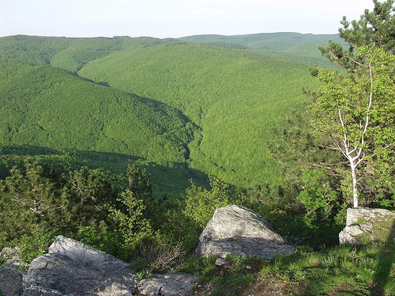
Papuk is a mountain. Location: Požega-Slavonia County, Croatia. Elevation: 954 m.
Papuk is the largest mountain in the Slavonia region in eastern Croatia, near the city of Požega. It extends between Bilogora to the northwest, Krndija to the east, and Ravna gora and Psunj to the southwest. The highest peak is the eponymous peak at 953 m.a.A. The area of Papuk is designated a nature park (park prirode), a kind of protected area in Croatia.
Source: Wikipedia · CC BY-SA 4.0
Climate of Papuk
Best months for sightseeingBest months for sightseeing: June–August.
This month · November
A cold month
Day 5° · Night -2° · Rain 82 mm
- Hottest month
- July (day 22°)
- Coldest month
- January (night -7°)
- Wettest month
- June (103 mm)
- Driest month
- February (48 mm)
Bars: average monthly low and high temperature. Below: precipitation. Monthly averages for 1970–2000 at about 18 km resolution, adjusted for elevation. Highlighted months are mild and relatively dry. Source: WorldClim 2.1 (CC BY 4.0).
Show values as a table
| Month | Jan | Feb | Mar | Apr | May | Jun | Jul | Aug | Sep | Oct | Nov | Dec |
|---|---|---|---|---|---|---|---|---|---|---|---|---|
| Average high (°C) | -1° | 1° | 6° | 11° | 16° | 20° | 22° | 21° | 17° | 11° | 5° | 0° |
| Average low (°C) | -7° | -6° | -3° | 1° | 6° | 9° | 11° | 10° | 7° | 2° | -2° | -6° |
| Precipitation (mm) | 52 | 48 | 55 | 71 | 82 | 103 | 82 | 83 | 70 | 72 | 82 | 66 |
How to get to Papuk
The nearest airport is Banja Luka International Airport (BNX), 69 km to the south as the crow flies. The nearest large city is Pécs, 78 km to the northeast.
Airports
- Banja Luka International Airport (BNX) Mahovljani 69 kmsouth
- Pécs-Pogány International Airport (PEV) Pécs 72 kmnortheast
- Osijek Airport (OSI) Osijek(Klisa) 95 kmeast
Nearby large cities
- Pécs Population: 145.3K 78 kmnortheast
- Zagreb Population: 663.6K 131 kmwest
- Székesfehérvár Population: 101.6K 195 kmnorth
- Szeged Population: 160.8K 213 kmnortheast
- Kecskemét Population: 109.8K 223 kmnortheast
Straight-line distances; road distances are longer. Airport data: OurAirports.
Nearest towns and villages
-
Gornji Vrhovci Village, Municipality of Velika6 km SW
-
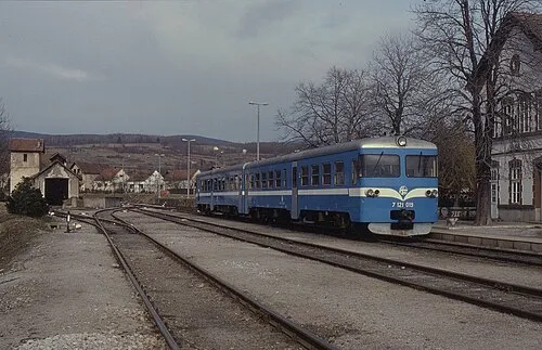 Velika City, Municipality of Velika8.9 km SE
-
Kamenski Vučjak Village, Municipality of Brestovac6.9 km SW
-
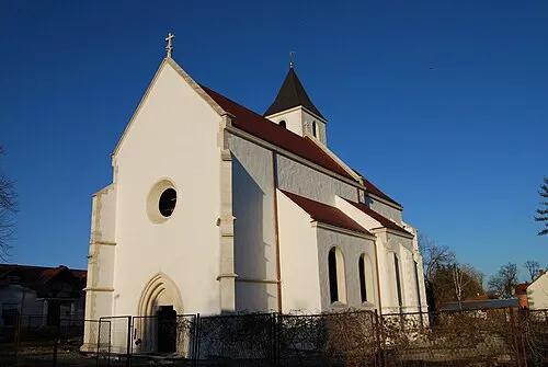 Voćin City, Municipality of Voćin11 km NW
-
Kruševo Village, Municipality of Brestovac7.6 km SW
-
Ćeralije Village, Municipality of Voćin12 km NE
Nearby attractions & nature
Everything nearby-
Ravna Gora Mountain, Požega-Slavonia County11 km W
-
Sokolovac Mountain, Požega-Slavonia County23 km S
Sources & licences
Data last updated: · 2 independent sources