- Population
- 64,084
- 64.1K
- Elevation
- 197 m
- above sea level
- Local time
- UTC+01:00
- Europe/Zagreb · UTC+01:00
- Places inside
- 13
- listed under Požega-Slavonia County
- Airports
- BNX Banja Luka International Airport60 km
- PEV Pécs-Pogány International Airport78 km
About Požega-Slavonia County
Požega-Slavonia County is a region. Location: Croatia. Population: 64,084.
Požega-Slavonia County (Croatian: Požeško-slavonska županija [pôʒeʃko-slǎʋoːnskaː ʒupǎnija]) is a Croatian county in western Slavonia. Its capital is Požega. Its population was 78,034 at the 2011 census. Alongside the City of Zagreb and Bjelovar-Bilogora County, it is one of three Croatian counties that do not border another nation.
Source: Wikipedia · CC BY-SA 4.0
Places bordering Požega-Slavonia County
- Sisak-Moslavina County
- Bjelovar-Bilogora County
- Virovitica-Podravina County
- County of Osijek-Baranja
- Brod-Posavina County
Climate of Požega-Slavonia County
Best months for sightseeingBest months for sightseeing: May–June, August–September.
This month · November
A cold month
Day 9° · Night 2° · Rain 81 mm
- Hottest month
- July (day 27°)
- Coldest month
- January (night -3°)
- Wettest month
- June (102 mm)
- Driest month
- February (49 mm)
Bars: average monthly low and high temperature. Below: precipitation. Monthly averages for 1970–2000 at about 18 km resolution, adjusted for elevation. Highlighted months are mild and relatively dry. Source: WorldClim 2.1 (CC BY 4.0).
Show values as a table
| Month | Jan | Feb | Mar | Apr | May | Jun | Jul | Aug | Sep | Oct | Nov | Dec |
|---|---|---|---|---|---|---|---|---|---|---|---|---|
| Average high (°C) | 3° | 6° | 11° | 16° | 22° | 25° | 27° | 27° | 22° | 17° | 9° | 5° |
| Average low (°C) | -3° | -2° | 1° | 5° | 10° | 13° | 15° | 14° | 11° | 6° | 2° | -2° |
| Precipitation (mm) | 51 | 49 | 52 | 65 | 78 | 102 | 76 | 75 | 63 | 72 | 81 | 65 |
Other places to visit in this season: May June August September
How to get to Požega-Slavonia County
The nearest airport is Banja Luka International Airport (BNX), 60 km to the southwest as the crow flies. The nearest large city is Pécs, 85 km to the northeast.
Airports
- Banja Luka International Airport (BNX) Mahovljani 60 kmsouthwest
- Pécs-Pogány International Airport (PEV) Pécs 78 kmnortheast
- Osijek Airport (OSI) Osijek(Klisa) 90 kmeast
Nearby large cities
- Pécs Population: 145.3K 85 kmnortheast
- Zagreb Population: 663.6K 139 kmwest
- Székesfehérvár Population: 101.6K 205 kmnorth
- Szeged Population: 160.8K 214 kmnortheast
- Kecskemét Population: 109.8K 228 kmnortheast
Straight-line distances; road distances are longer. Airport data: OurAirports.
Places in Požega-Slavonia County
13 places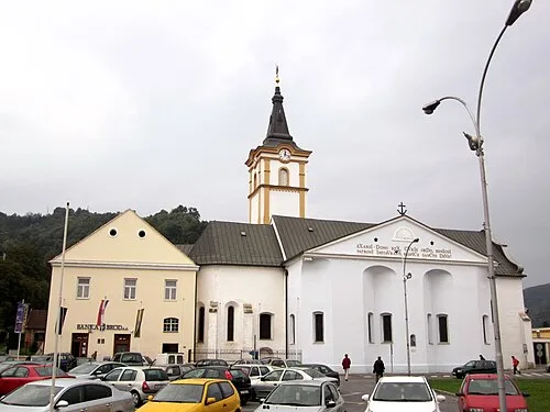
Town of Požega
Population: 22.3K
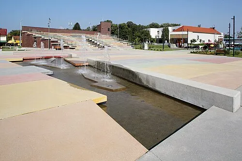
Town of Pleternica
Population: 9.1K

Town of Pakrac
Population: 7.1K
Town of Lipik
Population: 5.1K

Town of Kutjevo
Population: 4.9K

Municipality of Velika
Population: 4.5K
- 7 Municipality of Jakšić 3.4K
- 8 Municipality of Brestovac 3K
- 9 Municipality of Kaptol 2.6K
- 10 Municipality of Čaglin 2.1K
Bar: population relative to the most populous place in this list.
Mountains & nature3
- Papuk · Mountain
- Ravna Gora · Mountain
- Sokolovac · Mountain
Largest cities and towns
Other regions in Croatia
-
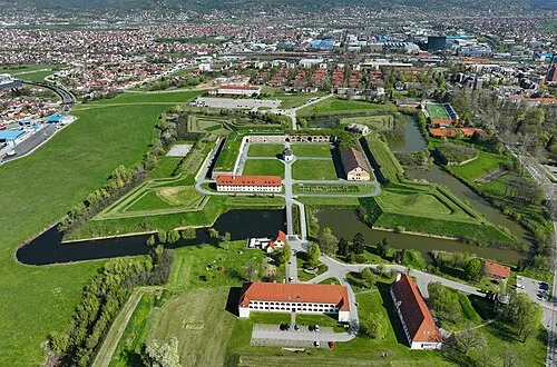 Brod-Posavina County Region, Croatia29 km S
-
Town of Orahovica District, Virovitica-Podravina County22 km NE
-
Town of Nova Gradiška District, Brod-Posavina County27 km SW
-
Town of Slatina District, Virovitica-Podravina County32 km N
-
Town of Našice District, County of Osijek-Baranja35 km E
-
Municipality of Nova Kapela District, Brod-Posavina County25 km S
Sources & licences
Data last updated: · 2 independent sources