Otočić Olipa
Located in Dubrovnik-Neretva County, Croatia Coordinates: 42°45′48″ N 17°46′25″ E
- Elevation
- 147 m
- above sea level
- Local time
- UTC+01:00
- Europe/Zagreb · UTC+01:00
- Airports
- DBV Dubrovnik Ruđer Bošković Airport46 km
- OMO Mostar International Airport58 km
About Otočić Olipa
Otočić Olipa is an island. Location: Dubrovnik-Neretva County, Croatia.
Olipa is an uninhabited islet in Croatia, part of the Elaphiti Islands archipelago off the coast of southern Dalmatia. It is the westernmost isle in the Elaphites. Olipa is mostly rocky and partially covered in forest. A stone square tower is located on the south side of the isle, which serves as a lighthouse. The lighthouse is used for maritime routes passing through the passages of Veliki Vratnik (between Olipa and Tajan) and Mali Vratnik (between Olipa and Pelješac).
Source: Wikipedia · CC BY-SA 4.0
At a glance
- Area
- 90 ha
Source: Wikidata
Climate of Otočić Olipa
Best months for sightseeingBest months for sightseeing: May–June, September.
This month · November
A wet month
Day 16° · Night 9° · Rain 136 mm
- Hottest month
- July (day 30°)
- Coldest month
- February (night 5°)
- Wettest month
- November (136 mm)
- Driest month
- July (32 mm)
Bars: average monthly low and high temperature. Below: precipitation. Monthly averages for 1970–2000 at about 18 km resolution, adjusted for elevation. Highlighted months are mild and relatively dry. Source: WorldClim 2.1 (CC BY 4.0).
Show values as a table
| Month | Jan | Feb | Mar | Apr | May | Jun | Jul | Aug | Sep | Oct | Nov | Dec |
|---|---|---|---|---|---|---|---|---|---|---|---|---|
| Average high (°C) | 11° | 12° | 14° | 18° | 23° | 27° | 30° | 30° | 25° | 20° | 16° | 12° |
| Average low (°C) | 5° | 5° | 7° | 10° | 15° | 19° | 21° | 21° | 17° | 13° | 9° | 7° |
| Precipitation (mm) | 106 | 94 | 88 | 82 | 63 | 48 | 32 | 47 | 80 | 117 | 136 | 121 |
How to get to Otočić Olipa
The nearest airport is Dubrovnik Ruđer Bošković Airport (DBV), 46 km to the southeast as the crow flies. The nearest large city is Split, 137 km to the northwest.
Airports
- Dubrovnik Ruđer Bošković Airport (DBV) Dubrovnik 46 kmsoutheast
- Mostar International Airport (OMO) Mostar 58 kmnorth
- Tivat Airport (TIV) Tivat 88 kmsoutheast
Nearby large cities
- Split Population: 149.8K 137 kmnorthwest
- Zagreb Population: 663.6K 368 kmnorth
- Pécs Population: 145.3K 370 kmnorth
- Rijeka Population: 108K 390 kmnorthwest
Straight-line distances; road distances are longer. Airport data: OurAirports.
Nearest towns and villages
-
Banići Village, Municipality of Dubrovačko primorje7.9 km NE
-
Broce Village, Municipality of Ston7.9 km NW
-
Zaton Doli Village, Municipality of Ston8 km N
-
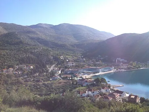 Slano City, Municipality of Dubrovačko primorje10 km E
-
Ston City, Municipality of Ston10 km NW
-
Okuklje Village, Municipality of Mljet9.4 km SW
Nearby attractions & nature
Everything nearby-
Tajan Island, Dubrovnik-Neretva County2.1 km E
-
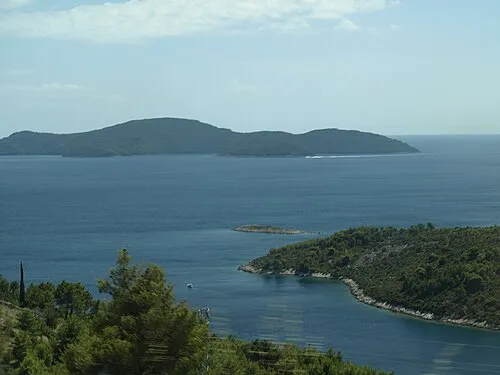 Otok Jakljan Island, Dubrovnik-Neretva County3.9 km SE
-
Mišnjak Island, Dubrovnik-Neretva County4.8 km E
-
Kosmeč Island, Dubrovnik-Neretva County4.5 km SE
-
 Otok Šipan Island, Dubrovnik-Neretva County9.2 km E
-
Zec Mountain, Dubrovnik-Neretva County6.8 km NW
-
 Elaphiti Islands Island, Croatia11 km SE
-
Kosor Mountain, Dubrovnik-Neretva County8.2 km NW
More lakes, rivers and coasts in Croatia
-
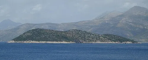 Otočić Ruda Island, Dubrovnik-Neretva County14 km SE
-
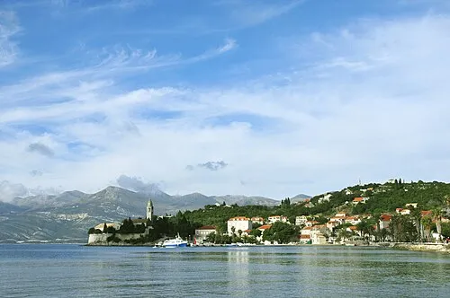 Mezzo Island Island, Dubrovnik-Neretva County17 km SE
-
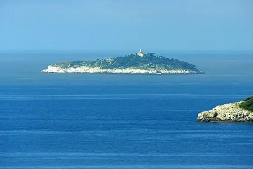 Otočić Sveti Andrija Island, Dubrovnik-Neretva County20 km SE
-
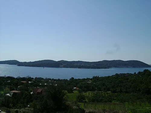 Otok Koločep Island, Dubrovnik-Neretva County22 km SE
-
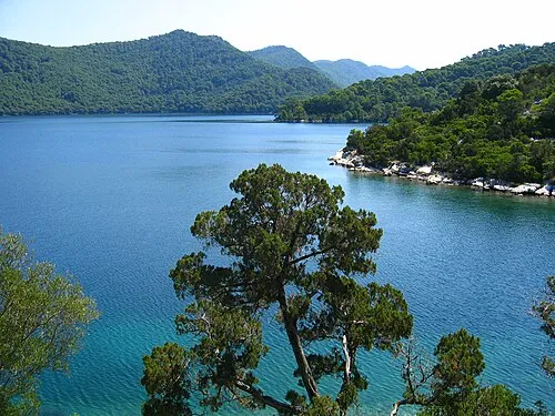 Mljet Island, Dubrovnik-Neretva County19 km W
-
 Daksa Island, Dubrovnik-Neretva County26 km SE
Sources & licences
Data last updated: · 2 independent sources