Otočić Sveti Andrija
Located in Dubrovnik-Neretva County, Croatia Coordinates: 42°38′46″ N 17°57′07″ E
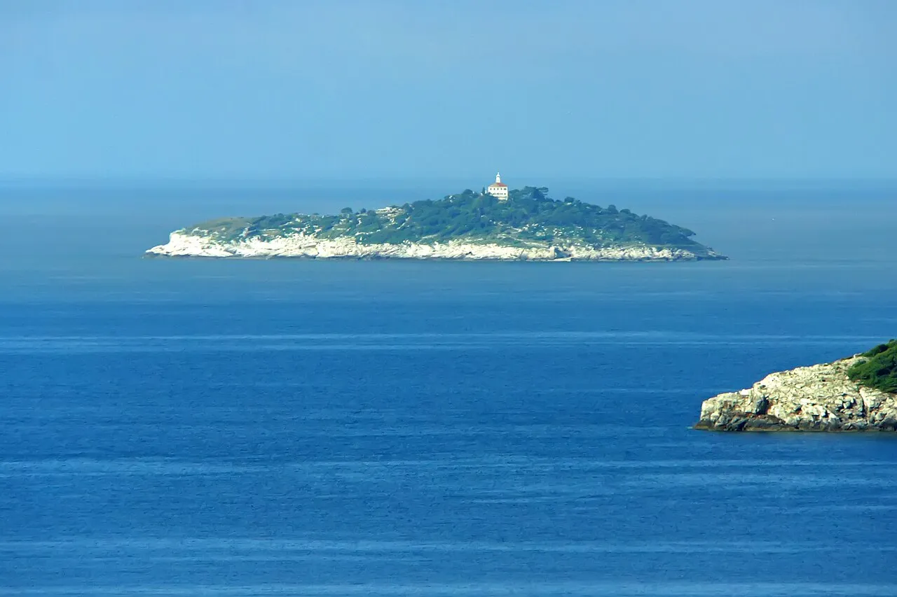
- Elevation
- 27 m
- above sea level
- Local time
- UTC+01:00
- Europe/Zagreb · UTC+01:00
- Airports
- DBV Dubrovnik Ruđer Bošković Airport27 km
- TIV Tivat Airport69 km
About Otočić Sveti Andrija
Otočić Sveti Andrija is an island. Location: Dubrovnik-Neretva County, Croatia.
Sveti Andrija (Croatian for "Saint Andrew") is an island in the Croatian part of the Adriatic Sea. It is part of the Elaphiti Islands archipelago, Dalmatia and is situated 6 nautical miles (11 km) from Dubrovnik, 3 nautical miles (6 km) from Koločep, 2 nautical miles (4 km) from Lopud and 4 nautical miles (7 km) from Šipan. The island is 475 metres (1,558 feet) long, and its maximal width is 130 metres (430 feet), while its coastline is 1,130 m (3,710 ft) long.
Source: Wikipedia · CC BY-SA 4.0
At a glance
- Length
- 475 km
- Area
- 3.6 ha
Source: Wikidata
Photos of Otočić Sveti Andrija
-

Quahadi Añtó 07:47, 18 October 2014 · CC BY-SA 3.0 -

Sean MacEntee from Monaghan, Ireland · CC BY 2.0 -
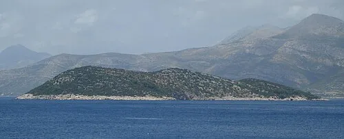
Otočić Ruda TheTallOne · CC BY-SA 3.0 -
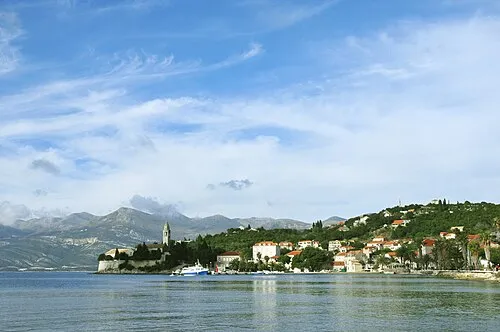
Mezzo Island LBM1948 · CC BY-SA 4.0 -
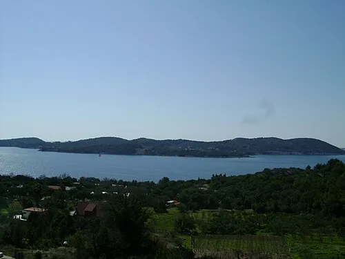
Otok Koločep Lasta · Public domain


Climate of Otočić Sveti Andrija
Best months for sightseeingBest months for sightseeing: May, September–October.
This month · November
A wet month
Day 17° · Night 10° · Rain 146 mm
- Hottest month
- July (day 30°)
- Coldest month
- February (night 6°)
- Wettest month
- November (146 mm)
- Driest month
- July (36 mm)
Bars: average monthly low and high temperature. Below: precipitation. Monthly averages for 1970–2000 at about 18 km resolution, adjusted for elevation. Highlighted months are mild and relatively dry. Source: WorldClim 2.1 (CC BY 4.0).
Show values as a table
| Month | Jan | Feb | Mar | Apr | May | Jun | Jul | Aug | Sep | Oct | Nov | Dec |
|---|---|---|---|---|---|---|---|---|---|---|---|---|
| Average high (°C) | 12° | 12° | 15° | 18° | 24° | 28° | 30° | 30° | 26° | 21° | 17° | 13° |
| Average low (°C) | 6° | 6° | 8° | 11° | 15° | 19° | 22° | 21° | 18° | 14° | 10° | 7° |
| Precipitation (mm) | 109 | 99 | 91 | 88 | 68 | 54 | 36 | 50 | 85 | 123 | 146 | 130 |
How to get to Otočić Sveti Andrija
The nearest airport is Dubrovnik Ruđer Bošković Airport (DBV), 27 km to the east as the crow flies. The nearest large city is Split, 156 km to the northwest.
Airports
- Dubrovnik Ruđer Bošković Airport (DBV) Dubrovnik 27 kmeast
- Tivat Airport (TIV) Tivat 69 kmsoutheast
- Mostar International Airport (OMO) Mostar 71 kmnorth
Nearby large cities
- Split Population: 149.8K 156 kmnorthwest
- New Belgrade Population: 209.8K 312 kmnortheast
- Belgrade Population: 1.3M 314 kmnortheast
- Zemun Population: 155.6K 314 kmnortheast
- Niš Population: 250K 331 kmeast
Straight-line distances; road distances are longer. Airport data: OurAirports.
Day trips from Otočić Sveti Andrija
Within 100 km: 4 historic and cultural sites, 9 natural sites, 21 lakes, rivers and coasts.
0–25 km15 places
- Saint Ignatius Church Attraction 13 kmE
- Daksa Island 9 kmE
- Tajan Island 18 kmNW
- Otok Šipan Island 11 kmNW
25–60 km12 places
- Mljet Island 35 kmW
- Česvinica Mountain 29 kmNW
- Zec Mountain 26 kmNW
- Kosor Mountain 28 kmNW
60–100 km7 places
- Lagosta Island Island 89 kmW
- Skrivena Luka Natural site 89 kmW
- Otočić Prežba Island 94 kmW
- Otočić Mrčara Island 96 kmW
Straight-line distances.
Nearest towns and villages
-
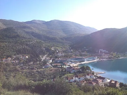 Slano City, Municipality of Dubrovačko primorje16 km N
-
 Čibača Village, Municipality of Župa dubrovačka18 km E
-
 Gornji Brgat Village, Municipality of Župa dubrovačka17 km E
-
 Kupari Village, Municipality of Župa dubrovačka20 km E
-
 Banići Village, Municipality of Dubrovačko primorje19 km NW
-
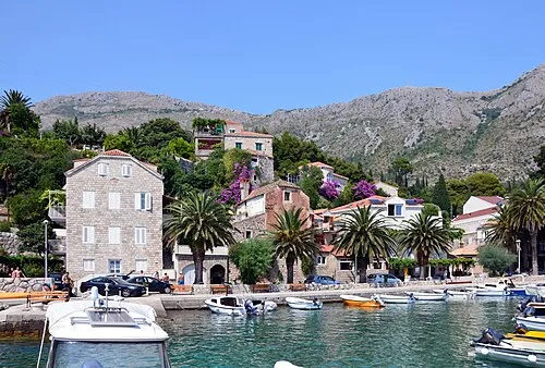 Mlini City, Municipality of Župa dubrovačka21 km E
Nearby attractions & nature
Everything nearby-
Mezzo Island Island, Dubrovnik-Neretva County4.3 km N
-
Otok Koločep Island, Dubrovnik-Neretva County5.7 km NE
-
Otočić Ruda Island, Dubrovnik-Neretva County7.2 km N
-
 Daksa Island, Dubrovnik-Neretva County9 km E
-
 Elaphiti Islands Island, Croatia9.2 km NW
-
 Otok Šipan Island, Dubrovnik-Neretva County11 km NW
-
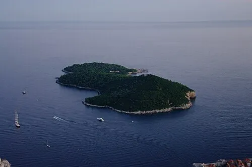 Lacroma Island, Dubrovnik-Neretva County14 km E
-
Mišnjak Island, Dubrovnik-Neretva County16 km NW
More lakes, rivers and coasts in Croatia
-
Kosmeč Island, Dubrovnik-Neretva County15 km NW
-
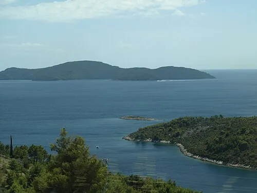 Otok Jakljan Island, Dubrovnik-Neretva County16 km NW
-
Tajan Island, Dubrovnik-Neretva County18 km NW
-
Otočić Olipa Island, Dubrovnik-Neretva County20 km NW
-
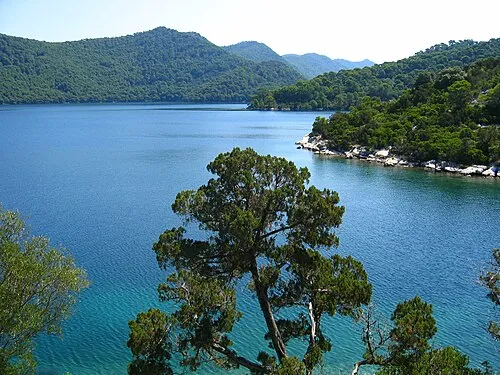 Mljet Island, Dubrovnik-Neretva County35 km W
-
 Lagosta Island Island, Dubrovnik-Neretva County89 km W
Sources & licences
Data last updated: · 2 independent sources