Sniježnica
Located in Dubrovnik-Neretva County, Croatia Coordinates: 42°34′25″ N 18°21′09″ E
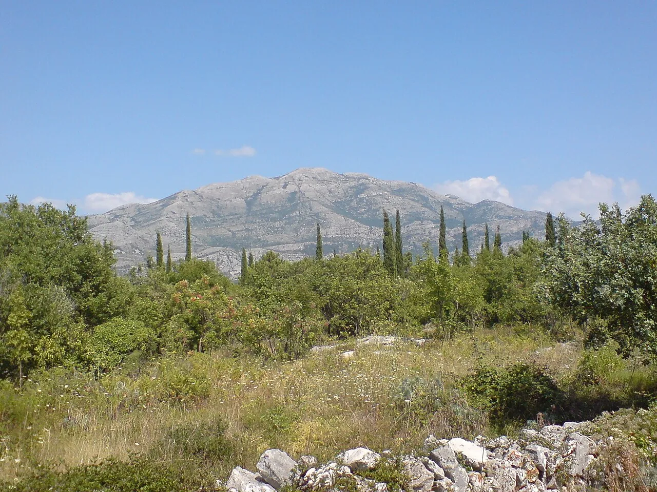
- Elevation
- 1,234 m
- above sea level
- Local time
- UTC+01:00
- Europe/Zagreb · UTC+01:00
- Airports
- DBV Dubrovnik Ruđer Bošković Airport7 km
- TIV Tivat Airport36 km
About Sniježnica
Sniježnica is a mountain. Location: Dubrovnik-Neretva County, Croatia. Elevation: 1,234 m.
Sniježnica is a mountain located in the southernmost part of Croatia, north of the Konavle region. The eponymous highest peak is 1,234 metres (4,049 ft).
Source: Wikipedia · CC BY-SA 4.0
Photos of Sniježnica
-

Luka Krstulović · CC BY-SA 2.5 -

Luka Krstulović · CC BY-SA 2.5


Climate of Sniježnica
Best months for sightseeingBest months for sightseeing: July–August.
This month · November
A wet month
Day 9° · Night 2° · Rain 163 mm
- Hottest month
- July (day 23°)
- Coldest month
- February (night -3°)
- Wettest month
- November (163 mm)
- Driest month
- July (40 mm)
Bars: average monthly low and high temperature. Below: precipitation. Monthly averages for 1970–2000 at about 18 km resolution, adjusted for elevation. Highlighted months are mild and relatively dry. Source: WorldClim 2.1 (CC BY 4.0).
Show values as a table
| Month | Jan | Feb | Mar | Apr | May | Jun | Jul | Aug | Sep | Oct | Nov | Dec |
|---|---|---|---|---|---|---|---|---|---|---|---|---|
| Average high (°C) | 4° | 4° | 7° | 10° | 16° | 20° | 23° | 22° | 18° | 14° | 9° | 6° |
| Average low (°C) | -2° | -3° | 0° | 2° | 7° | 11° | 13° | 13° | 9° | 6° | 2° | -1° |
| Precipitation (mm) | 119 | 110 | 99 | 99 | 78 | 61 | 40 | 55 | 98 | 133 | 163 | 146 |
How to get to Sniježnica
The nearest airport is Dubrovnik Ruđer Bošković Airport (DBV), 7 km to the west as the crow flies. The nearest large city is Split, 187 km to the northwest.
Airports
- Dubrovnik Ruđer Bošković Airport (DBV) Dubrovnik 7 kmwest
- Tivat Airport (TIV) Tivat 36 kmsoutheast
- Podgorica Airport / Podgorica Golubovci Airbase (TGD) Podgorica 78 kmeast
Nearby large cities
- Split Population: 149.8K 187 kmnorthwest
- New Belgrade Population: 209.8K 299 kmnortheast
- Belgrade Population: 1.3M 301 kmnortheast
- Niš Population: 250K 302 kmeast
- Zemun Population: 155.6K 302 kmnortheast
Straight-line distances; road distances are longer. Airport data: OurAirports.
Day trips from Sniježnica
Within 100 km: 4 historic and cultural sites, 7 natural sites, 17 lakes, rivers and coasts.
0–25 km6 places
- Saint Ignatius Church Attraction 21 kmW
- Lacroma Island 20 kmW
- Debeli Brijeg Mountain 12 kmSE
- Prevlaka Natural site 24 kmSE
25–60 km15 places
- Česvinica Mountain 59 kmNW
- Zec Mountain 57 kmNW
- Kosor Mountain 60 kmNW
- Daksa Island 26 kmNW
60–100 km7 places
- Mljet Island 69 kmW
- Pelješac Natural site 86 kmNW
- Baćinska Jezera Lake 95 kmNW
- Neretva River 89 kmNW
Straight-line distances.
Nearest towns and villages
-
Čilipi Village, Municipality of Konavle6.2 km SW
-
Gruda Village, Municipality of Konavle6.5 km S
-
Zvekovica Village, Municipality of Konavle9.3 km W
-
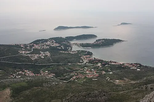 Cavtat City, Municipality of Konavle11 km W
-
Srednji Radovčići Neighbourhood, Municipality of Konavle6.8 km S
-
Pločice Village, Municipality of Konavle10 km SE
Nearby attractions & nature
Everything nearby-
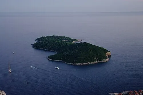 Lacroma Island, Dubrovnik-Neretva County20 km W
-
Debeli Brijeg Mountain, Croatia12 km SE
-
 Prevlaka Natural site, Dubrovnik-Neretva County24 km SE
-
Dubrovnik Cathedral Attraction, Croatia21 km W
-
Sponza Palace Historic site, Croatia21 km W
-
Saint Ignatius Church Attraction, Croatia21 km W
More nature in Croatia
Sources & licences
Data last updated: · 2 independent sources