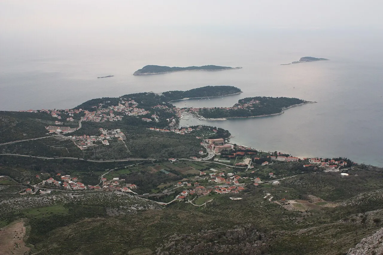
Cavtat
Located in Municipality of Konavle, Dubrovnik-Neretva County Coordinates: 42°34′52″ N 18°13′05″ E
- Population
- 2,189
- 2.2K
- Elevation
- 7 m
- above sea level
- Local time
- UTC+01:00
- Europe/Zagreb · UTC+01:00
- Airports
- DBV Dubrovnik Ruđer Bošković Airport4 km
- TIV Tivat Airport46 km
About Cavtat
Cavtat is a city. Location: Municipality of Konavle, Dubrovnik-Neretva County. Population: 2,189. Elevation: 7 m.
Cavtat (Croatian pronunciation: [t͡sǎʋtat], Italian: Ragusa Vecchia, lit. 'Old Ragusa') is a village in the Dubrovnik-Neretva County of Croatia. It is on the Adriatic Sea coast 15 kilometres (9 miles) south of Dubrovnik and is the center and main settlement of Konavle municipality.
Source: Wikipedia · CC BY-SA 4.0
Photos of Cavtat
-

United Kingdom Hydrographic Office · Public domain -

donald judge · CC BY 2.0 -

trolvag · CC BY-SA 3.0 -

Marko Jukić -Majkl · CC BY-SA 4.0 -

Diego Delso · CC BY-SA 3.0


Travel notes for Cavtat
From Wikivoyage
Cavtat is a Croatian city with a long history. Founded by the Greeks in the 4th century BCE under the name of Epidauros, after the city of the Peloponnese.
Understand+
The town changed its name to Epidaurum when it came under Roman rule in 228 BCE. During the civil war between Julius Caesar and Pompey, it lined up in favor of the former and was besieged by Octavius, but was saved by the arrival of the consul. It later became a Roman colony and was occupied during the Gothic Wars from the fleet sent by Justinian.
When the city was sacked by the Slavs and Avars just before the 614, people took refuge on an island nearby which later united with the mainland, giving rise to the city of Dubrovnik. From that moment, Cavtat was always under the control of powerful neighbour. The modern Croatian name for the city reveals the ancient origin and the link with Dubrovnik: Cavtat is a derived from Civitas Vetus, the name by which the Dubrovnikans called their old city.
Today Cavtat is a popular tourist destination, with many hotels and private homes that rent rooms and apartments. The seafront is filled with shops and restaurants.
Get in+
By plane:
Dubrovnik Airport (DBV IATA) is much closer to Cavtat (5 km) than it is to Dubrovnik (22 km). A taxi or bus may take you to Cavtat.
By ferry:
From the old town of Dubrovnik or neighbouring Mlini to the main harbour of Cavtat.
By bus:
From Dubrovnik, serviced by the local bus company Libertas.
Source: Wikivoyage · CC BY-SA 4.0 · abridged
Climate of Cavtat
Best months for sightseeingBest months for sightseeing: May–June, October.
This month · November
A wet month
Day 17° · Night 10° · Rain 173 mm
- Hottest month
- July (day 30°)
- Coldest month
- January (night 6°)
- Wettest month
- November (173 mm)
- Driest month
- July (32 mm)
Bars: average monthly low and high temperature. Below: precipitation. Monthly averages for 1970–2000 at about 18 km resolution, adjusted for elevation. Highlighted months are mild and relatively dry. Source: WorldClim 2.1 (CC BY 4.0).
Show values as a table
| Month | Jan | Feb | Mar | Apr | May | Jun | Jul | Aug | Sep | Oct | Nov | Dec |
|---|---|---|---|---|---|---|---|---|---|---|---|---|
| Average high (°C) | 12° | 13° | 15° | 18° | 24° | 28° | 30° | 30° | 26° | 22° | 17° | 13° |
| Average low (°C) | 6° | 6° | 8° | 11° | 15° | 19° | 22° | 21° | 18° | 14° | 10° | 7° |
| Precipitation (mm) | 127 | 116 | 101 | 97 | 72 | 54 | 32 | 49 | 97 | 143 | 173 | 156 |
How to get to Cavtat
The nearest airport is Dubrovnik Ruđer Bošković Airport (DBV), 4 km to the southeast as the crow flies. The nearest large city is Podgorica, 87 km to the east.
Airports
- Dubrovnik Ruđer Bošković Airport (DBV) Dubrovnik 4 kmsoutheast
- Tivat Airport (TIV) Tivat 46 kmsoutheast
- Mostar International Airport (OMO) Mostar 84 kmnorth
Nearby large cities
- Podgorica Population: 236.9K 87 kmeast
- Mostar Population: 104.5K 91 kmnorth
- Sarajevo Population: 696.7K 141 kmnorth
- Durrës Population: 195.9K 173 kmsoutheast
- Split Population: 149.8K 178 kmnorthwest
Straight-line distances; road distances are longer. Airport data: OurAirports.
Day trips from Cavtat
Within 100 km: 10 historic and cultural sites, 64 natural sites, 63 lakes, rivers and coasts.
0–25 km13 places
- Saint Ignatius Church Attraction 11 kmNW
- Daksa Island 16 kmNW
- Otočić Sveti Andrija Island 23 kmW
- Mezzo Island Island 25 kmNW
25–60 km43 places
- Mljet Island 58 kmW
- Česvinica Mountain 49 kmNW
- Zec Mountain 47 kmNW
- Kosor Mountain 50 kmNW
60–100 km81 places
- Pelješac Natural site 75 kmNW
- Mali Školj Island 63 kmNW
- Bay of Mali Ston Natural site 66 kmNW
- Veliki Školj Island 60 kmNW
Straight-line distances.
Nearby attractions & nature
Everything nearby-
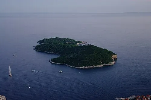 Lacroma Island, Dubrovnik-Neretva County9.6 km NW
-
 Dubrovnik Cathedral Attraction, Croatia11 km NW
-
 Sponza Palace Historic site, Croatia11 km NW
-
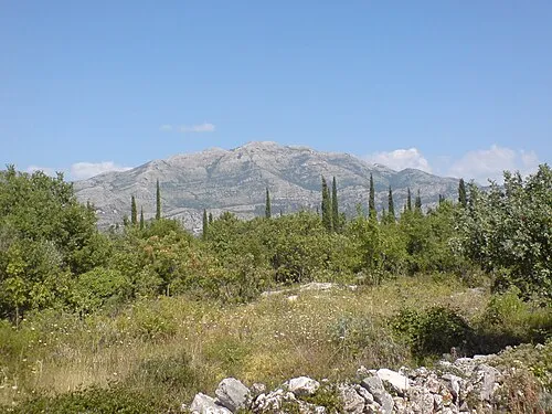 Sniježnica Mountain, Dubrovnik-Neretva County11 km E
-
 Daksa Island, Dubrovnik-Neretva County16 km NW
-
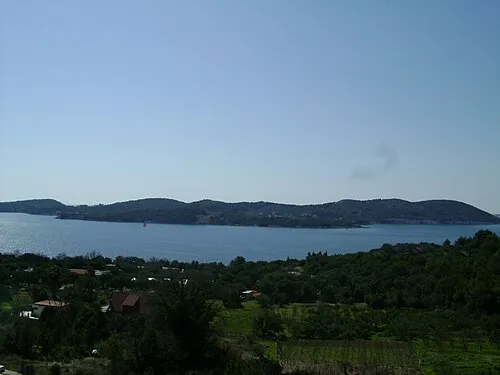 Otok Koločep Island, Dubrovnik-Neretva County20 km NW
-
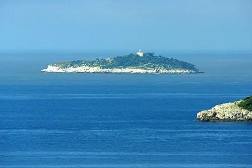 Otočić Sveti Andrija Island, Dubrovnik-Neretva County23 km W
-
Saint Ignatius Church Attraction, Croatia11 km NW
Sources & licences
Data last updated: · 2 independent sources