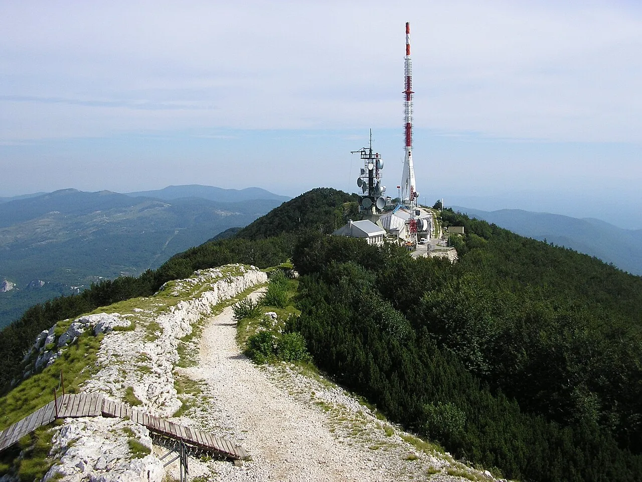
- Elevation
- 1,396 m
- above sea level
- Local time
- UTC+01:00
- Europe/Zagreb · UTC+01:00
- Airports
- RJK Rijeka Airport30 km
- PUY Pula Airport46 km
About Učka
Učka is a mountain. Location: Istria County, Croatia. Elevation: 1,396 m.
The Učka (pronounced [ûːt͡ʃkaː], Italian: Monte Maggiore) is a mountain range in western Croatia. It rises behind the Opatija riviera, on the eastern side of the Istrian peninsula. It forms a single morphological unit together with the Ćićarija range which stretches from the Bay of Trieste to Rijeka. Učka is a limestone massif with numerous areas of karst, stretching for 20 km (12 mi) from the Poklon Pass (920 m) to Plomin Bay, and is between 4 and 9 km (2.5 and 5.6 mi) wide.
Read more on Wikipedia Text: Wikipedia contributors · CC BY-SA 4.0 · shortened
Climate of Učka
Best months for sightseeingBest months for sightseeing: July–August.
Bars: average monthly low and high temperature. Below: precipitation. Monthly averages for 1970–2000 at about 18 km resolution, adjusted for elevation. Highlighted months are mild and relatively dry. Source: WorldClim 2.1 (CC BY 4.0).
Show values as a table
| Month | Jan | Feb | Mar | Apr | May | Jun | Jul | Aug | Sep | Oct | Nov | Dec |
|---|---|---|---|---|---|---|---|---|---|---|---|---|
| Average high (°C) | 0° | 1° | 4° | 7° | 12° | 16° | 19° | 19° | 15° | 10° | 5° | 2° |
| Average low (°C) | -6° | -6° | -4° | -1° | 4° | 7° | 10° | 10° | 6° | 3° | -2° | -5° |
| Precipitation (mm) | 108 | 90 | 104 | 110 | 98 | 115 | 77 | 101 | 124 | 157 | 170 | 137 |
Airports nearest to Učka
- Rijeka Airport (RJK) Rijeka(Omišalj) 30 km
- Pula Airport (PUY) Pula 46 km
- Trieste Airport (TRS) Ronchi dei Legionari/Trieste 86 km
Straight-line distance; airports with scheduled flights only. Source: OurAirports (public domain).
Nearest towns and villages
-
Šušnjevica Village, Municipality of Kršan4.1 km W
-
Mošćenice Village, Municipality of Mošćenička Draga5 km SE
-
Medveja Village, Municipality of Lovran5.6 km E
-
Kostrčani Village, Municipality of Kršan5.7 km W
-
Boljunsko Polje Village, Municipality of Lupoglav7 km NW
-
Polje Čepić Neighbourhood, Municipality of Kršan8 km SW
Nearby attractions & nature
Everything nearby-
 Ćićarija Mountain, Croatia21 km N
-
Rjecina River River, Primorje-Gorski Kotar County21 km E
Sources & licences
Data last updated: · 2 independent sources