- Population
- 185
- 185
- Elevation
- 157 m
- above sea level
- Local time
- UTC+01:00
- Europe/Zagreb · UTC+01:00
- Airports
- PUY Pula Airport14 km
- RJK Rijeka Airport63 km
About Gajana
Gajana is a village. Location: Vodnjan, Istria County. Population: 185. Elevation: 157 m.
Gajana (Italian: Gaiano) is a village in the municipality of Vodnjan-Dignano, in Istria, Croatia.
Source: Wikipedia · CC BY-SA 4.0
At a glance
- Area
- 15.8 km²
Source: Wikidata
Climate of Gajana
Best months for sightseeingBest months for sightseeing: May–June, September.
This month · November
Outside the best season
Day 14° · Night 6° · Rain 99 mm
- Hottest month
- July (day 28°)
- Coldest month
- January (night 1°)
- Wettest month
- November (99 mm)
- Driest month
- July (48 mm)
Bars: average monthly low and high temperature. Below: precipitation. Monthly averages for 1970–2000 at about 18 km resolution, adjusted for elevation. Highlighted months are mild and relatively dry. Source: WorldClim 2.1 (CC BY 4.0).
Show values as a table
| Month | Jan | Feb | Mar | Apr | May | Jun | Jul | Aug | Sep | Oct | Nov | Dec |
|---|---|---|---|---|---|---|---|---|---|---|---|---|
| Average high (°C) | 8° | 9° | 12° | 16° | 21° | 25° | 28° | 28° | 23° | 19° | 14° | 10° |
| Average low (°C) | 1° | 1° | 4° | 7° | 12° | 16° | 18° | 18° | 14° | 10° | 6° | 2° |
| Precipitation (mm) | 63 | 52 | 59 | 68 | 62 | 70 | 48 | 74 | 78 | 96 | 99 | 75 |
How to get to Gajana
The nearest airport is Pula Airport (PUY), 14 km to the southeast as the crow flies. The nearest large city is Rijeka, 60 km to the northeast.
Airports
- Pula Airport (PUY) Pula 14 kmsoutheast
- Rijeka Airport (RJK) Rijeka(Omišalj) 63 kmeast
- Trieste Airport (TRS) Ronchi dei Legionari/Trieste 96 kmnorth
Nearby large cities
- Rijeka Population: 108K 60 kmnortheast
- Klagenfurt Population: 100.3K 184 kmnorth
- Zagreb Population: 663.6K 190 kmnortheast
- Graz Population: 303.3K 261 kmnortheast
- Split Population: 149.8K 266 kmsoutheast
Straight-line distances; road distances are longer. Airport data: OurAirports.
Nearby attractions & nature
Everything nearby-
 Mali Brijun Island, City of Pula11 km SW
-
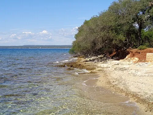 Veliki Brijun Island, City of Pula12 km SW
-
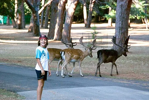 Brijuni Island, Istria County12 km SW
-
Istria Natural site, Croatia13 km E
-
Church of St. Euphemia Attraction, Istria County18 km NW
-
Raša River, Istria County17 km E
Sources & licences
Data last updated: · 2 independent sources