- Elevation
- 1,120 m
- above sea level
- Local time
- UTC+01:00
- Europe/Zagreb · UTC+01:00
- Airports
- RJK Rijeka Airport69 km
- ZAD Zadar Airport71 km
About Štirovača
Štirovača is a natural site. Location: Lika-Senj County, Croatia.
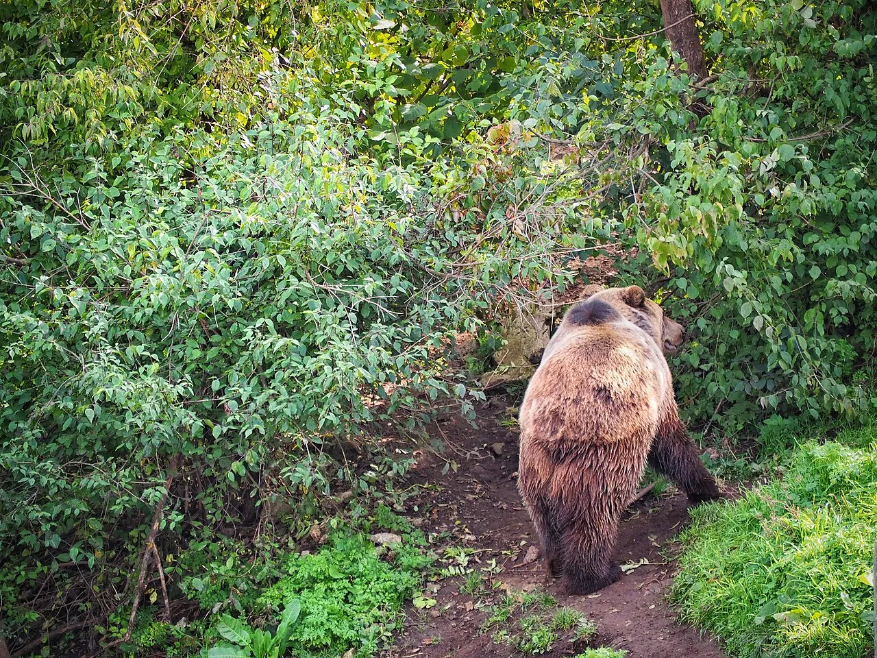
Štirovača is an Old-growth forest in North Velebit. It is a nature reserve with abundant forest vegetation which covers the area of 118.5 acres. Majority of the forest extends to an altitude above 1100 meters above sea level and is composed mostly of beech, spruce and rowan. The area was once more densely covered with forest, but today a small part of the towering forests remain in Štirovača.
Source: Wikipedia · CC BY-SA 4.0
At a glance
- Built
- 1965
- Area
- 1.2 km²
Source: Wikidata
Climate of Štirovača
Best months for sightseeingBest months for sightseeing: July–August.
This month · November
A wet month
Day 6° · Night -1° · Rain 198 mm
- Hottest month
- July (day 20°)
- Coldest month
- February (night -5°)
- Wettest month
- November (198 mm)
- Driest month
- July (75 mm)
Bars: average monthly low and high temperature. Below: precipitation. Monthly averages for 1970–2000 at about 18 km resolution, adjusted for elevation. Highlighted months are mild and relatively dry. Source: WorldClim 2.1 (CC BY 4.0).
Show values as a table
| Month | Jan | Feb | Mar | Apr | May | Jun | Jul | Aug | Sep | Oct | Nov | Dec |
|---|---|---|---|---|---|---|---|---|---|---|---|---|
| Average high (°C) | 1° | 2° | 4° | 8° | 14° | 17° | 20° | 20° | 16° | 11° | 6° | 2° |
| Average low (°C) | -5° | -5° | -3° | 1° | 5° | 8° | 10° | 10° | 7° | 3° | -1° | -4° |
| Precipitation (mm) | 114 | 116 | 118 | 139 | 120 | 121 | 75 | 101 | 148 | 175 | 198 | 162 |
How to get to Štirovača
The nearest airport is Rijeka Airport (RJK), 69 km to the northwest as the crow flies. The nearest large city is Rijeka, 85 km to the northwest.
Airports
- Rijeka Airport (RJK) Rijeka(Omišalj) 69 kmnorthwest
- Zadar Airport (ZAD) Zadar 71 kmsouth
- Pula Airport (PUY) Pula 92 kmwest
Nearby large cities
- Rijeka Population: 108K 85 kmnorthwest
- Zagreb Population: 663.6K 144 kmnortheast
- Split Population: 149.8K 173 kmsoutheast
- Klagenfurt Population: 100.3K 222 kmnorth
- Graz Population: 303.3K 265 kmnorth
Straight-line distances; road distances are longer. Airport data: OurAirports.
Nearest towns and villages
-
Jablanac Village, Town of Senj12 km W
-
Prizna Village, Town of Senj12 km SW
-
Lipovo Polje Village, Municipality of Perušić15 km E
-
Donji Kosinj Village, Municipality of Perušić18 km NE
-
Stara Novalja Village, Town of Novalja18 km SW
-
Barbat Village, Town of Rab20 km W
Nearby attractions & nature
Everything nearby-
Veliki Kozjak Mountain, Lika-Senj County4.2 km N
-
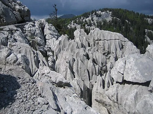 Northern Velebit National Park Natural site, Lika-Senj County8.4 km N
-
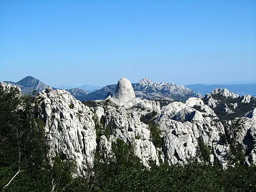 Velebit Mountain, Croatia23 km SE
-
Progon Mountain, Lika-Senj County24 km E
-
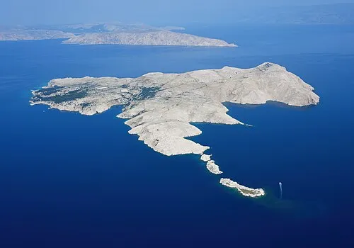 Goli otok Island, Primorje-Gorski Kotar County24 km NW
-
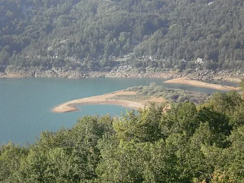 Kruščičko Jezero Lake, Lika-Senj County18 km E
-
Kotlina Natural site, Croatia21 km NE
-
 Otok Dolin Island, Primorje-Gorski Kotar County18 km W
More nature in Croatia
-
Mine Mountain, Lika-Senj County33 km NE
-
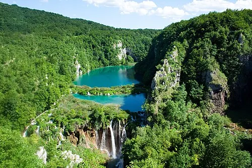 Plitvice Lakes National Park Natural site, Lika-Senj County48 km E
-
Plitvice Lakes National Park Natural site, Lika-Senj County50 km NE
-
 Birovača Mountain, Lika-Senj County72 km E
Sources & licences
Data last updated: · 2 independent sources