Plitvice Lakes National Park
Local name: Nacionalni park Plitvička jezera
Located in Lika-Senj County, Croatia Coordinates: 44°51′00″ N 15°37′00″ E
- Elevation
- 664 m
- above sea level
- Local time
- UTC+01:00
- Europe/Zagreb · UTC+01:00
- Airports
- ZAD Zadar Airport86 km
- RJK Rijeka Airport92 km
About Plitvice Lakes National Park
Plitvice Lakes National Park is a natural site. Location: Lika-Senj County, Croatia.
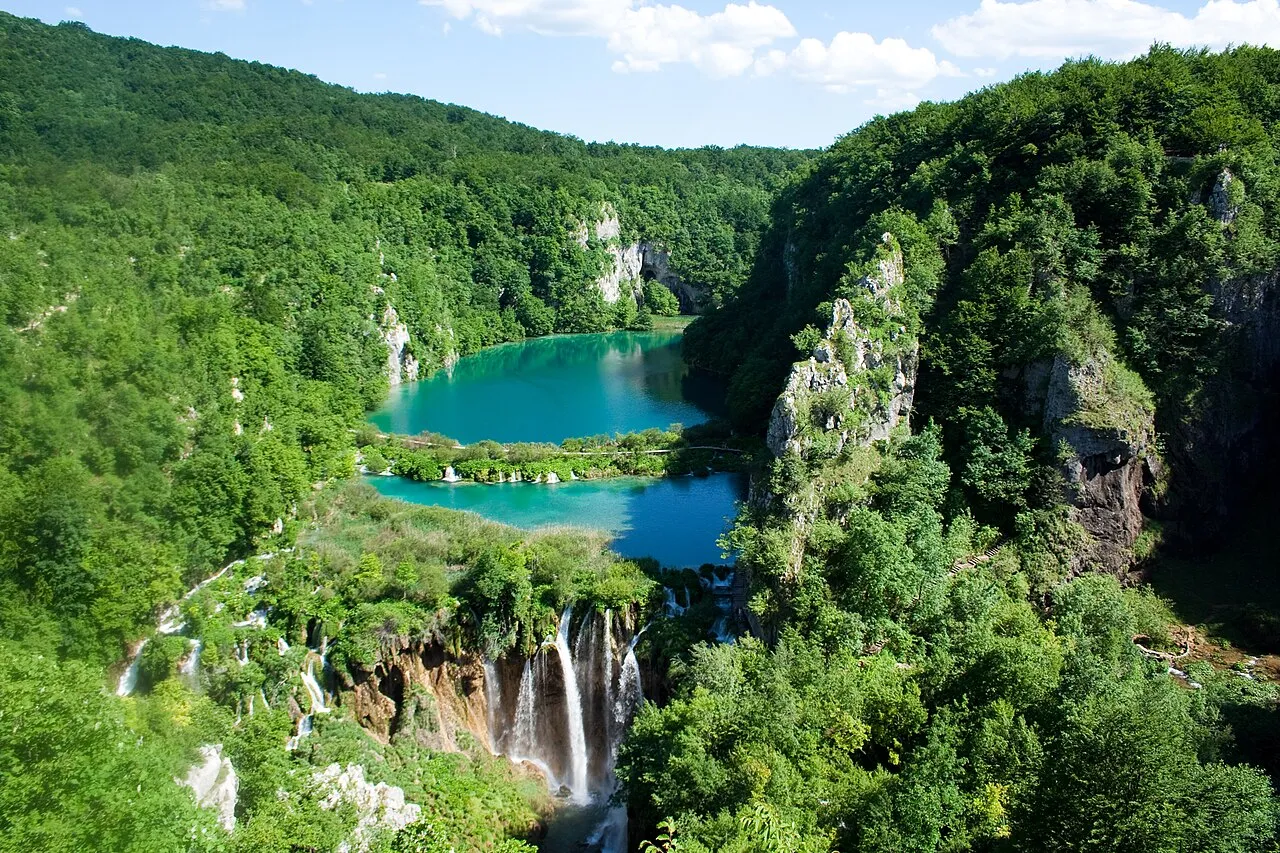
Plitvice Lakes National Park is one of the oldest and largest national parks in Croatia. In 1979, Plitvice Lakes National Park was inscribed on the UNESCO World Heritage list, for its outstanding and picturesque series of tufa lakes, caves, and connected waterfalls. The national park was founded in 1949 and is in the mountainous karst area of central Croatia, at the border with Bosnia and Herzegovina.
Source: Wikipedia · CC BY-SA 4.0
At a glance
- Built
- 1949
- Heritage designation
- World Heritage Site
- Area
- 297 km²
- Visitors per year
- 1,720,331 (2017)
- Official website
- np-plitvicka-jezera.hr
Source: Wikidata
Photos of Plitvice Lakes National Park
-

Dennis G. Jarvis · CC BY-SA 2.0 -

Dennis G. Jarvis · CC BY-SA 2.0 -

Nayeemkhan78 · CC BY-SA 4.0 -

Knowledge2need · CC0 -

5snake5 · CC0


Climate of Plitvice Lakes National Park
Best months for sightseeingBest months for sightseeing: June–August.
This month · November
A wet month
Day 8° · Night 0° · Rain 162 mm
- Hottest month
- July (day 23°)
- Coldest month
- January (night -4°)
- Wettest month
- November (162 mm)
- Driest month
- July (87 mm)
Bars: average monthly low and high temperature. Below: precipitation. Monthly averages for 1970–2000 at about 18 km resolution, adjusted for elevation. Highlighted months are mild and relatively dry. Source: WorldClim 2.1 (CC BY 4.0).
Show values as a table
| Month | Jan | Feb | Mar | Apr | May | Jun | Jul | Aug | Sep | Oct | Nov | Dec |
|---|---|---|---|---|---|---|---|---|---|---|---|---|
| Average high (°C) | 3° | 4° | 8° | 12° | 17° | 21° | 23° | 23° | 19° | 14° | 8° | 4° |
| Average low (°C) | -4° | -4° | -1° | 3° | 7° | 10° | 12° | 11° | 8° | 5° | 0° | -3° |
| Precipitation (mm) | 91 | 96 | 103 | 119 | 108 | 112 | 87 | 99 | 130 | 145 | 162 | 130 |
How to get to Plitvice Lakes National Park
The nearest airport is Zadar Airport (ZAD), 86 km to the south as the crow flies. The nearest large city is Rijeka, 107 km to the northwest.
Airports
- Zadar Airport (ZAD) Zadar 86 kmsouth
- Rijeka Airport (RJK) Rijeka(Omišalj) 92 kmnorthwest
- Zagreb Franjo Tuđman International Airport (ZAG) Velika Gorica 105 kmnorth
Nearby large cities
- Rijeka Population: 108K 107 kmnorthwest
- Zagreb Population: 663.6K 111 kmnorth
- Ljubljana Population: 272.2K 159 kmnorthwest
- Split Population: 149.8K 163 kmsoutheast
- Klagenfurt Population: 100.3K 222 kmnorthwest
Straight-line distances; road distances are longer. Airport data: OurAirports.
Day trips from Plitvice Lakes National Park
Within 100 km: 6 historic and cultural sites, 25 natural sites, 51 lakes, rivers and coasts.
0–25 km2 places
- Plitvice Lakes National Park Natural site 3 kmN
- Mala Kapela Mountain 10 kmNW
25–60 km21 places
- Birovača Mountain 39 kmSE
- Omsica Mountain 60 kmSE
- Progon Mountain 34 kmSW
- Mine Mountain 31 kmW
60–100 km59 places
- Krk Island 83 kmW
- Uvala Stipanja Natural site 82 kmNW
- Silba Island 90 kmSW
- Otok Ilovik Island 95 kmSW
Straight-line distances.
Nearest towns and villages
-
Gornji Babin Potok Village, Municipality of Vrhovine7.2 km W
-
Drežnik Grad Village, Municipality of Rakovica12 km N
-
Gornje Vrhovine Village, Municipality of Vrhovine12 km W
-
Irinovac Village, Municipality of Rakovica13 km N
-
Grabovac Village, Municipality of Rakovica14 km N
-
Selište Village, Karlovac County11 km N
Nearby attractions & nature
Everything nearby-
Plitvice Lakes National Park Natural site, Lika-Senj County3.5 km N
-
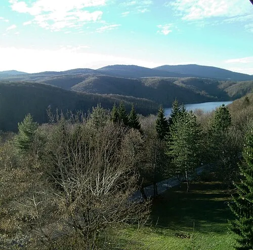 Mala Kapela Mountain, Croatia9.7 km NW
More nature in Croatia
-
Mine Mountain, Lika-Senj County31 km W
-
Progon Mountain, Lika-Senj County34 km SW
-
 Birovača Mountain, Lika-Senj County39 km SE
-
Veliki Kozjak Mountain, Lika-Senj County48 km W
-
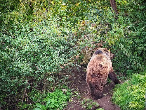 Štirovača Natural site, Lika-Senj County48 km W
-
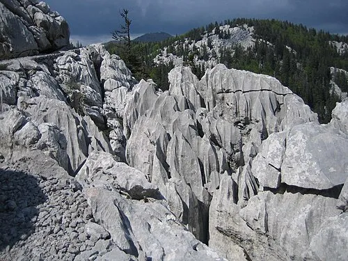 Northern Velebit National Park Natural site, Lika-Senj County49 km W
Sources & licences
Data last updated: · 2 independent sources