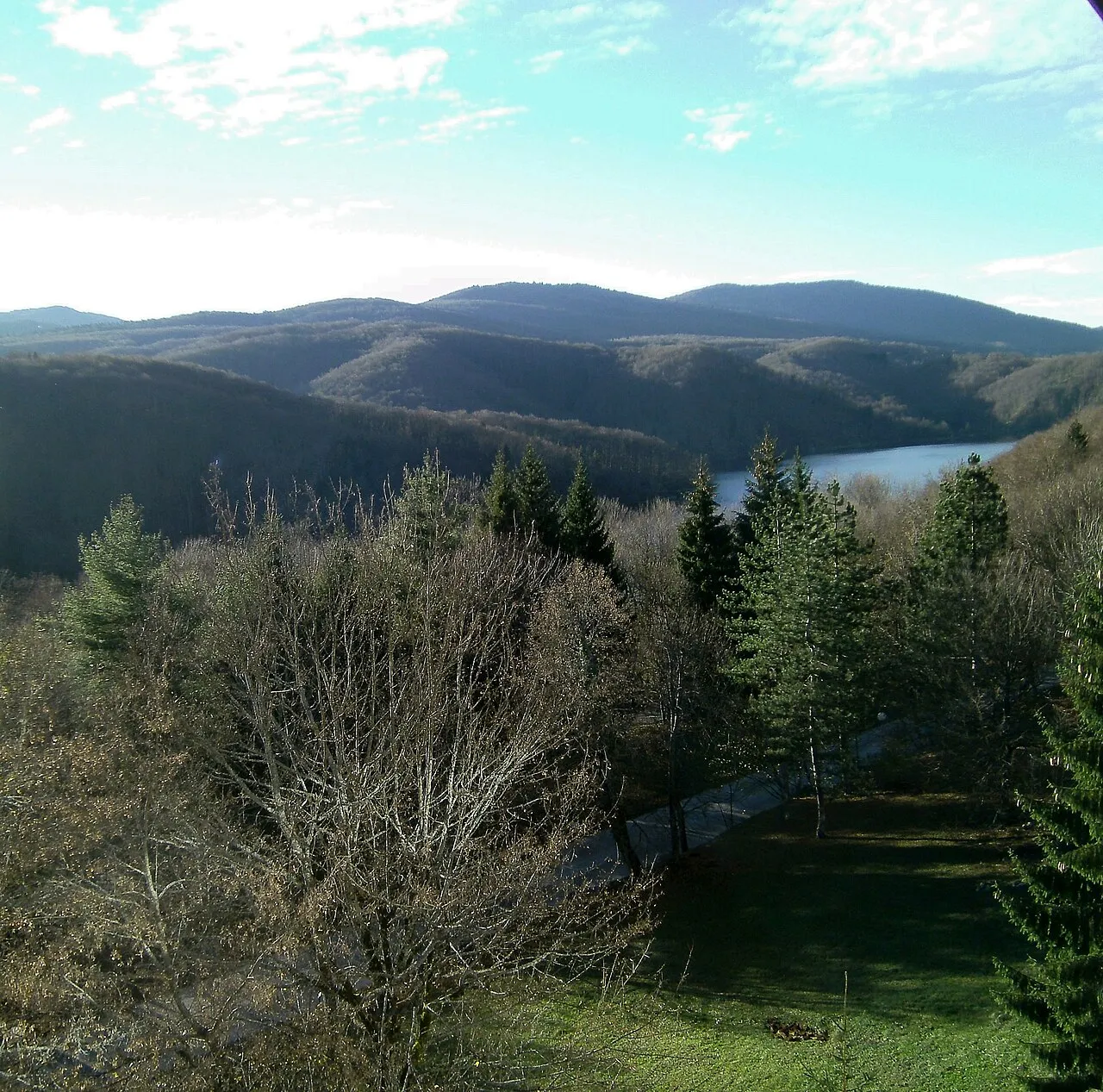
- Elevation
- 887 m
- above sea level
- Local time
- UTC+01:00
- Europe/Zagreb · UTC+01:00
- Airports
- RJK Rijeka Airport82 km
- ZAD Zadar Airport90 km
About Mala Kapela
Mala Kapela is a mountain. Location: Croatia. Elevation: 887 m.
Mala Kapela (pronounced [mâːlaː kǎpɛla], lit. Small Chapel) is a mountain range in Croatia, part of the Dinaric Alps. It stretches in the direction northwest–southeast, and it extends from the mountain pass called "Kapela" or "Vrh Kapele" (alt. 887 m), that separates it from Velika Kapela, down to the mountain pass that connects Otočac and Plitvice and from then on to Plješevica. The highest peak is Seliški vrh at 1279 meters, located in the southern part of the mountain.
Read more on Wikipedia Text: Wikipedia contributors · CC BY-SA 4.0 · shortened
Climate of Mala Kapela
Best months for sightseeingBest months for sightseeing: June–August.
Bars: average monthly low and high temperature. Below: precipitation. Monthly averages for 1970–2000 at about 18 km resolution, adjusted for elevation. Highlighted months are mild and relatively dry. Source: WorldClim 2.1 (CC BY 4.0).
Show values as a table
| Month | Jan | Feb | Mar | Apr | May | Jun | Jul | Aug | Sep | Oct | Nov | Dec |
|---|---|---|---|---|---|---|---|---|---|---|---|---|
| Average high (°C) | 2° | 3° | 7° | 11° | 16° | 20° | 22° | 22° | 18° | 13° | 6° | 2° |
| Average low (°C) | -6° | -5° | -2° | 2° | 6° | 9° | 10° | 10° | 7° | 3° | -1° | -4° |
| Precipitation (mm) | 91 | 96 | 103 | 119 | 108 | 112 | 87 | 99 | 130 | 145 | 162 | 130 |
Airports nearest to Mala Kapela
- Rijeka Airport (RJK) Rijeka(Omišalj) 82 km
- Zadar Airport (ZAD) Zadar 90 km
- Zagreb Franjo Tuđman International Airport (ZAG) Velika Gorica 103 km
Straight-line distance; airports with scheduled flights only. Source: OurAirports (public domain).
Nearest towns and villages
-
Gornji Babin Potok Village, Municipality of Vrhovine6.8 km S
-
Gornje Vrhovine Village, Municipality of Vrhovine8.6 km SW
-
 Vrhovine City, Municipality of Vrhovine9.4 km SW
-
Saborsko City, Municipality of Saborsko9.7 km N
-
Irinovac Village, Municipality of Rakovica13 km NE
-
Drežnik Grad Village, Municipality of Rakovica14 km NE
Nearby attractions & nature
Everything nearby-
Plitvice Lakes National Park Natural site, Lika-Senj County8.4 km E
-
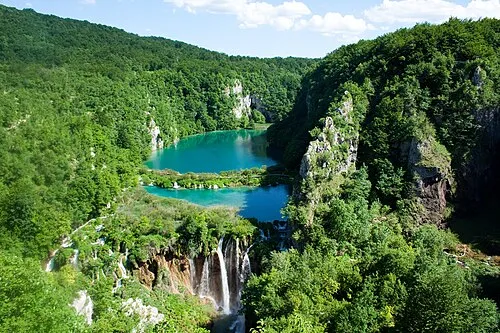 Plitvice Lakes National Park Natural site, Lika-Senj County9.7 km SE
-
Mine Mountain, Lika-Senj County21 km W
-
Kotlina Natural site, Croatia23 km W
More nature in Croatia
-
Veliki Kozjak Mountain, Lika-Senj County42 km SW
-
Hum Mountain, Karlovac County28 km N
-
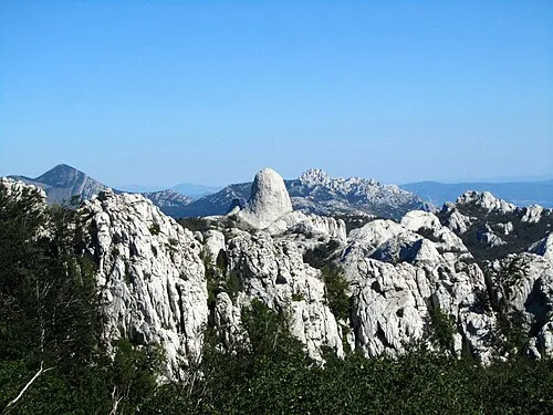 Velebit Mountain, Croatia47 km SW
-
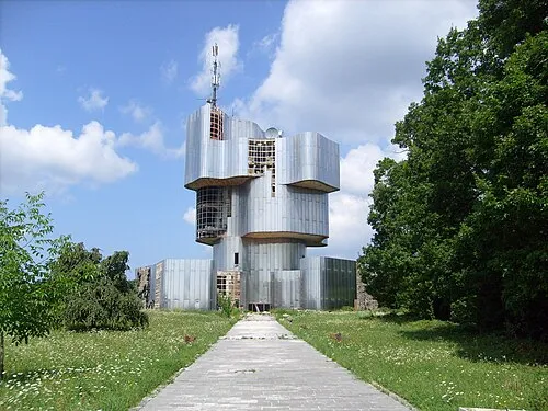 Petrova Gora Mountain, Croatia46 km NE
-
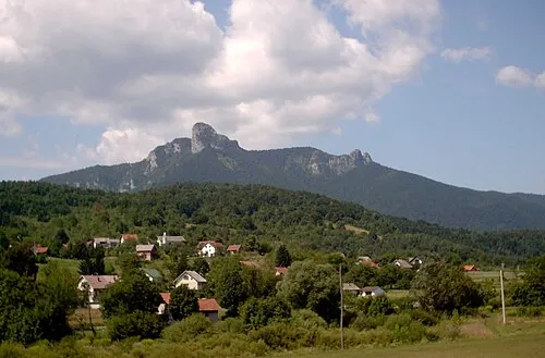 Klek Mountain, Karlovac County50 km NW
-
Crno Vrelo Natural site, Karlovac County34 km N
Sources & licences
Data last updated: · 2 independent sources