Risnjak National Park
Located in Primorje-Gorski Kotar County, Croatia Coordinates: 45°25′56″ N 14°37′19″ E
- Elevation
- 1,440 m
- above sea level
- Local time
- UTC+01:00
- Europe/Zagreb · UTC+01:00
- Airports
- RJK Rijeka Airport24 km
- PUY Pula Airport81 km
About Risnjak National Park
Risnjak National Park is a natural site. Location: Primorje-Gorski Kotar County, Croatia.
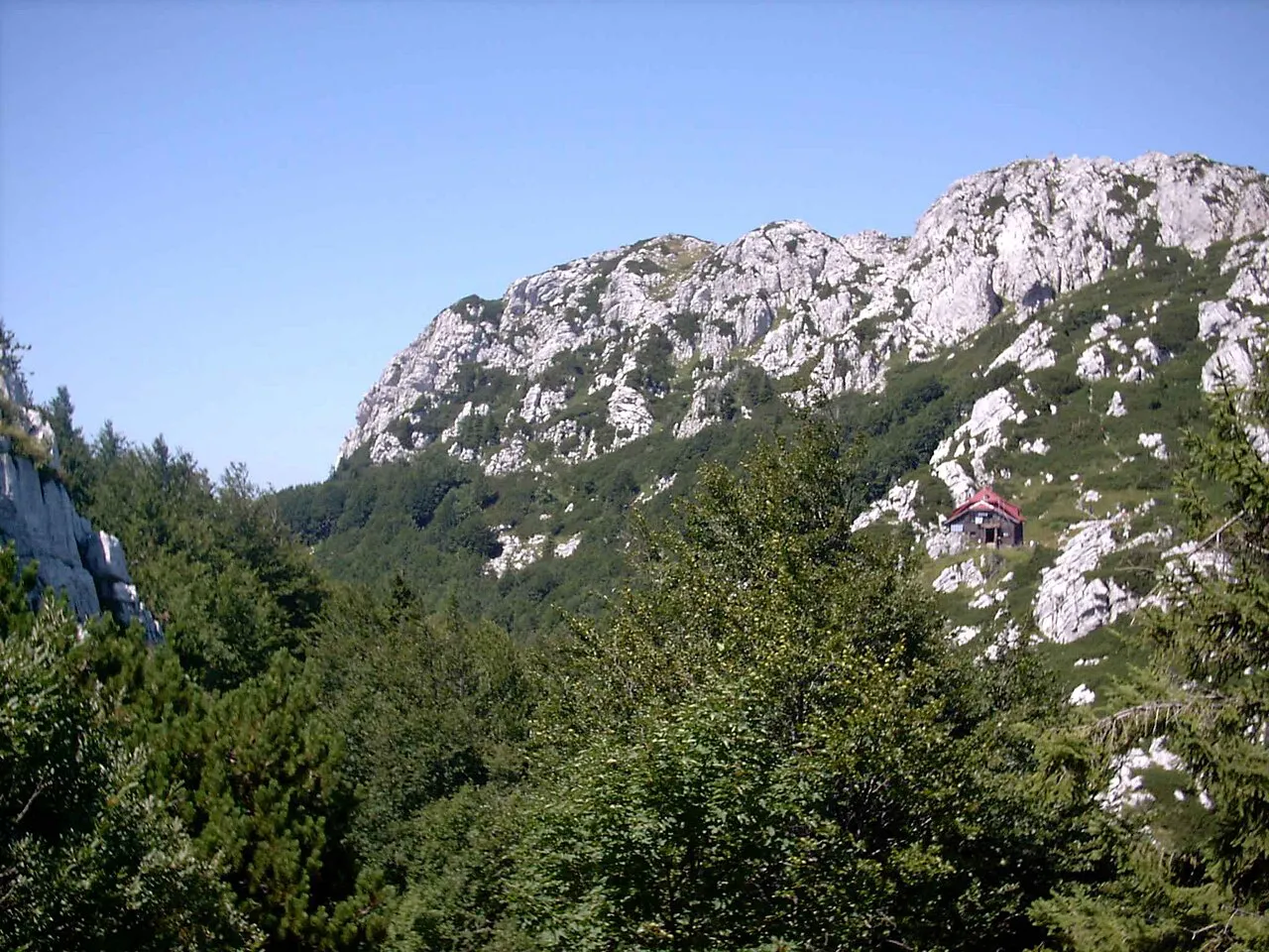
Risnjak National Park (Croatian: Nacionalni park Risnjak) is a national park in Croatia. It is located in Gorski Kotar, the most mountainous and heavily forested region of the country, about 15 km inland from the Adriatic Sea. The park covers an area of 63.5 square kilometers including the central part of Risnjak and Snježnik massif and the source area of the river Kupa. The administration and visitor center of the park are located in Crni Lug, a village on the eastern edge of the park.
Source: Wikipedia · CC BY-SA 4.0
At a glance
- Built
- 1959
- Area
- 63.4 km²
Source: Wikidata
Photos of Risnjak National Park
-

Michal Klajban · CC BY-SA 4.0 -

Michal Klajban · CC BY-SA 4.0 -

Vedran Sanković · CC BY-SA 4.0 -

FabiTralala · CC BY-SA 4.0 -

Neoteniyx · CC BY-SA 4.0


Climate of Risnjak National Park
Best months for sightseeingBest months for sightseeing: July–August.
This month · November
A wet month
Day 4° · Night -4° · Rain 191 mm
- Hottest month
- July (day 18°)
- Coldest month
- January (night -8°)
- Wettest month
- November (191 mm)
- Driest month
- July (102 mm)
Bars: average monthly low and high temperature. Below: precipitation. Monthly averages for 1970–2000 at about 18 km resolution, adjusted for elevation. Highlighted months are mild and relatively dry. Source: WorldClim 2.1 (CC BY 4.0).
Show values as a table
| Month | Jan | Feb | Mar | Apr | May | Jun | Jul | Aug | Sep | Oct | Nov | Dec |
|---|---|---|---|---|---|---|---|---|---|---|---|---|
| Average high (°C) | -1° | 0° | 3° | 6° | 12° | 15° | 18° | 18° | 14° | 9° | 4° | 0° |
| Average low (°C) | -8° | -8° | -6° | -2° | 2° | 6° | 8° | 7° | 4° | 1° | -4° | -7° |
| Precipitation (mm) | 109 | 104 | 124 | 138 | 122 | 144 | 102 | 122 | 146 | 176 | 191 | 148 |
How to get to Risnjak National Park
The nearest airport is Rijeka Airport (RJK), 24 km to the south as the crow flies. The nearest large city is Rijeka, 18 km to the southwest.
Airports
- Rijeka Airport (RJK) Rijeka(Omišalj) 24 kmsouth
- Pula Airport (PUY) Pula 81 kmsouthwest
- Ljubljana Jože Pučnik Airport (LJU) Zgornji Brnik 89 kmnorth
Nearby large cities
- Rijeka Population: 108K 18 kmsouthwest
- Ljubljana Population: 272.2K 69 kmnorth
- Zagreb Population: 663.6K 114 kmeast
- Klagenfurt Population: 100.3K 135 kmnorth
- Graz Population: 303.3K 192 kmnorth
Straight-line distances; road distances are longer. Airport data: OurAirports.
Day trips from Risnjak National Park
Within 100 km: 12 historic and cultural sites, 76 natural sites, 75 lakes, rivers and coasts.
0–25 km10 places
- Veliki Snežnik Mountain 21 kmNW
- Snežnik Mountain 22 kmNW
- Viševica Mountain 24 kmSE
- Risnjak Mountain 1 kmSW
25–60 km26 places
- Krk Island 40 kmS
- Uvala Stipanja Natural site 32 kmS
- Otočić Košljun Island 45 kmS
- Hrušica Mountain 58 kmNW
60–100 km127 places
- Lošinj Island 96 kmS
- Otočić Srakane Vele Island 98 kmS
- Raša River 71 kmNW
- Markovec Mountain 73 kmW
Straight-line distances.
Nearest towns and villages
-
Crni Lug Village, Town of Delnice6.6 km E
-
 Platak Village, Municipality of Čavle4.8 km W
-
Gerovski Kraj Village, Town of Čabar7.7 km N
-
Gerovo Village, Town of Čabar9.3 km N
-
Gornje Jelenje Village, Primorje-Gorski Kotar County7.4 km S
-
Podhum Village, Municipality of Jelenje12 km SW
Nearby attractions & nature
Everything nearby-
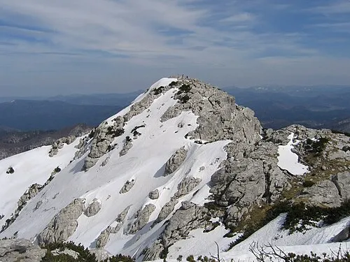 Risnjak Mountain, Primorje-Gorski Kotar County0.1 km SW
-
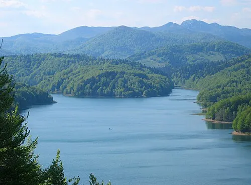 Gorski Kotar Mountain, Primorje-Gorski Kotar County8.9 km W
-
 Tuhobić Mountain, Primorje-Gorski Kotar County11 km S
-
Viševica Mountain, Primorje-Gorski Kotar County24 km SE
-
Burni bitoraj - Vrh Bitoraj Mountain, Primorje-Gorski Kotar County20 km SE
-
 Čabranka River, Primorje-Gorski Kotar County12 km NE
-
 Rjecina River River, Primorje-Gorski Kotar County18 km SW
-
 Krk Bridge Landmark, Primorje-Gorski Kotar County21 km S
Sources & licences
Data last updated: · 2 independent sources