Primošten
Located in Municipality of Primošten, Šibenik-Knin County Coordinates: 43°35′11″ N 15°55′23″ E
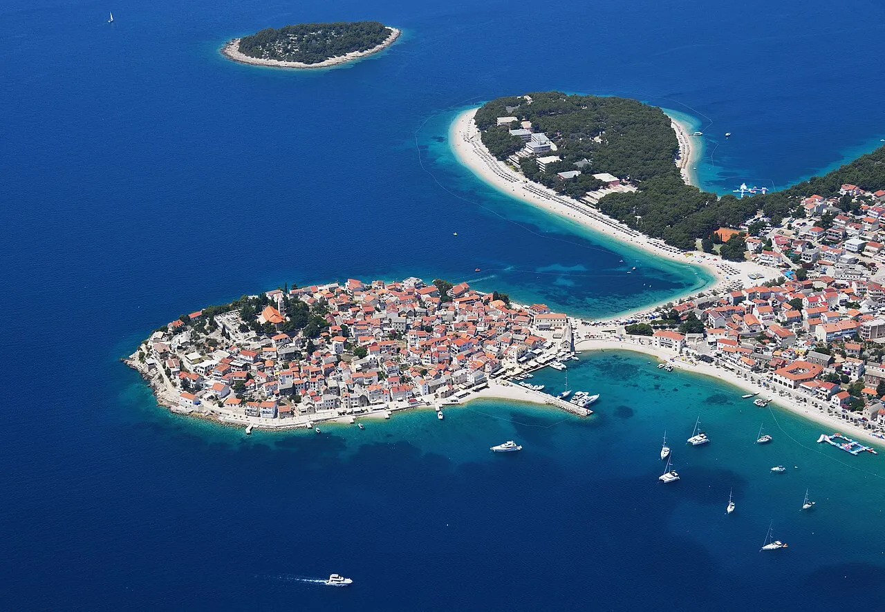
- Population
- 1,555
- 1.6K
- Elevation
- 2 m
- above sea level
- Local time
- UTC+01:00
- Europe/Zagreb · UTC+01:00
- Airports
- SPU Split Saint Jerome Airport31 km
- BWK Brač Airport70 km
About Primošten
Primošten is a city. Location: Municipality of Primošten, Šibenik-Knin County. Population: 1,555. Elevation: 2 m.
Primošten (pronounced [prǐmɔʃtɛn]) is a town and municipality in Šibenik-Knin County, Croatia. It is situated between the cities of Šibenik and Trogir, on the Adriatic coast.
Source: Wikipedia · CC BY-SA 4.0
Photos of Primošten
-

Zvone00 · CC BY-SA 3.0 -

Zvone00 · CC BY-SA 4.0 -

Tomasz Józefczak · CC BY-SA 3.0 -

ANDREJ NEUHERZ · CC BY-SA 3.0 -

Sylvie burr · CC0


Climate of Primošten
Best months for sightseeingBest months for sightseeing: May, September–October.
This month · November
Outside the best season
Day 15° · Night 9° · Rain 87 mm
- Hottest month
- July (day 30°)
- Coldest month
- February (night 5°)
- Wettest month
- November (87 mm)
- Driest month
- July (24 mm)
Bars: average monthly low and high temperature. Below: precipitation. Monthly averages for 1970–2000 at about 18 km resolution, adjusted for elevation. Highlighted months are mild and relatively dry. Source: WorldClim 2.1 (CC BY 4.0).
Show values as a table
| Month | Jan | Feb | Mar | Apr | May | Jun | Jul | Aug | Sep | Oct | Nov | Dec |
|---|---|---|---|---|---|---|---|---|---|---|---|---|
| Average high (°C) | 11° | 12° | 14° | 18° | 23° | 27° | 30° | 30° | 26° | 21° | 15° | 12° |
| Average low (°C) | 5° | 5° | 7° | 10° | 14° | 18° | 20° | 20° | 17° | 13° | 9° | 6° |
| Precipitation (mm) | 64 | 55 | 59 | 61 | 47 | 45 | 24 | 40 | 67 | 74 | 87 | 74 |
How to get to Primošten
The nearest airport is Split Saint Jerome Airport (SPU), 31 km to the east as the crow flies. The nearest large city is Split, 43 km to the east.
Airports
- Split Saint Jerome Airport (SPU) Split 31 kmeast
- Brač Airport (BWK) Gornji Humac 70 kmsoutheast
- Zadar Airport (ZAD) Zadar 73 kmnorthwest
Nearby large cities
- Split Population: 149.8K 43 kmeast
- Mostar Population: 104.5K 155 kmeast
- Banja Luka Population: 221.1K 168 kmnortheast
- Zenica Population: 164.4K 173 kmnortheast
- Sarajevo Population: 696.7K 198 kmeast
Straight-line distances; road distances are longer. Airport data: OurAirports.
Day trips from Primošten
Within 100 km: 10 historic and cultural sites, 28 natural sites, 66 lakes, rivers and coasts.
0–25 km17 places
- Otok Prvić Island 19 kmNW
- Otok Zlarin Island 13 kmNW
- Otok Kaprije Island 21 kmNW
- Krapanj Island 10 kmN
25–60 km29 places
- Šolta Island 38 kmSE
- Kornat Island 56 kmNW
- Otok Žut Island 59 kmNW
- Otok Sveti Klement Island 59 kmSE
60–100 km58 places
- Brač Island 65 kmSE
- Otok Sestrunj Island 99 kmNW
- Otočić Ošljak Island 79 kmNW
- Otok Biševo Island 68 kmS
Straight-line distances.
Nearby attractions & nature
Everything nearby-
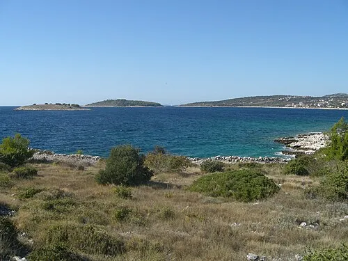 Jaz Island, Šibenik-Knin County5 km S
-
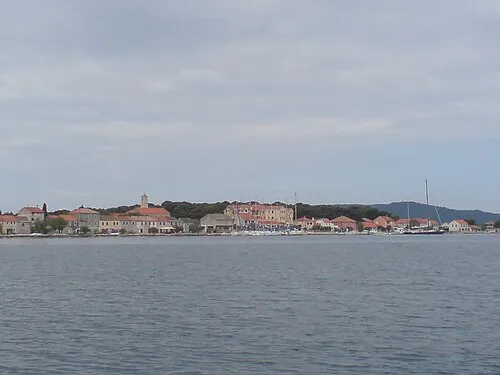 Krapanj Island, Šibenik-Knin County9.7 km N
-
 Otok Zlarin Island, Šibenik-Knin County13 km NW
-
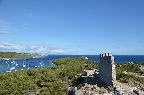 Zuri Island Island, Šibenik-Knin County22 km W
-
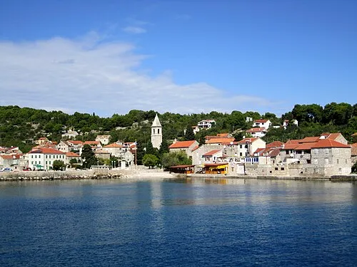 Otok Prvić Island, Šibenik-Knin County19 km NW
-
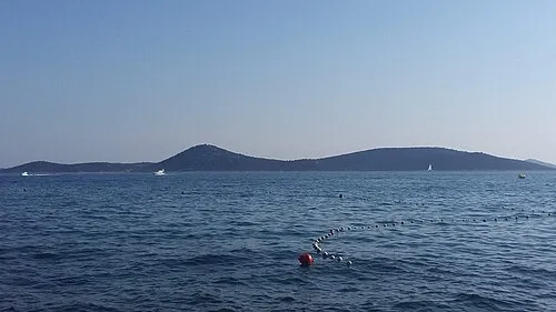 Otok Tijat Island, Šibenik-Knin County20 km NW
-
Otok Zmajan Island, Šibenik-Knin County18 km NW
-
 Krka River River, Šibenik-Knin County16 km N
Sources & licences
Data last updated: · 2 independent sources