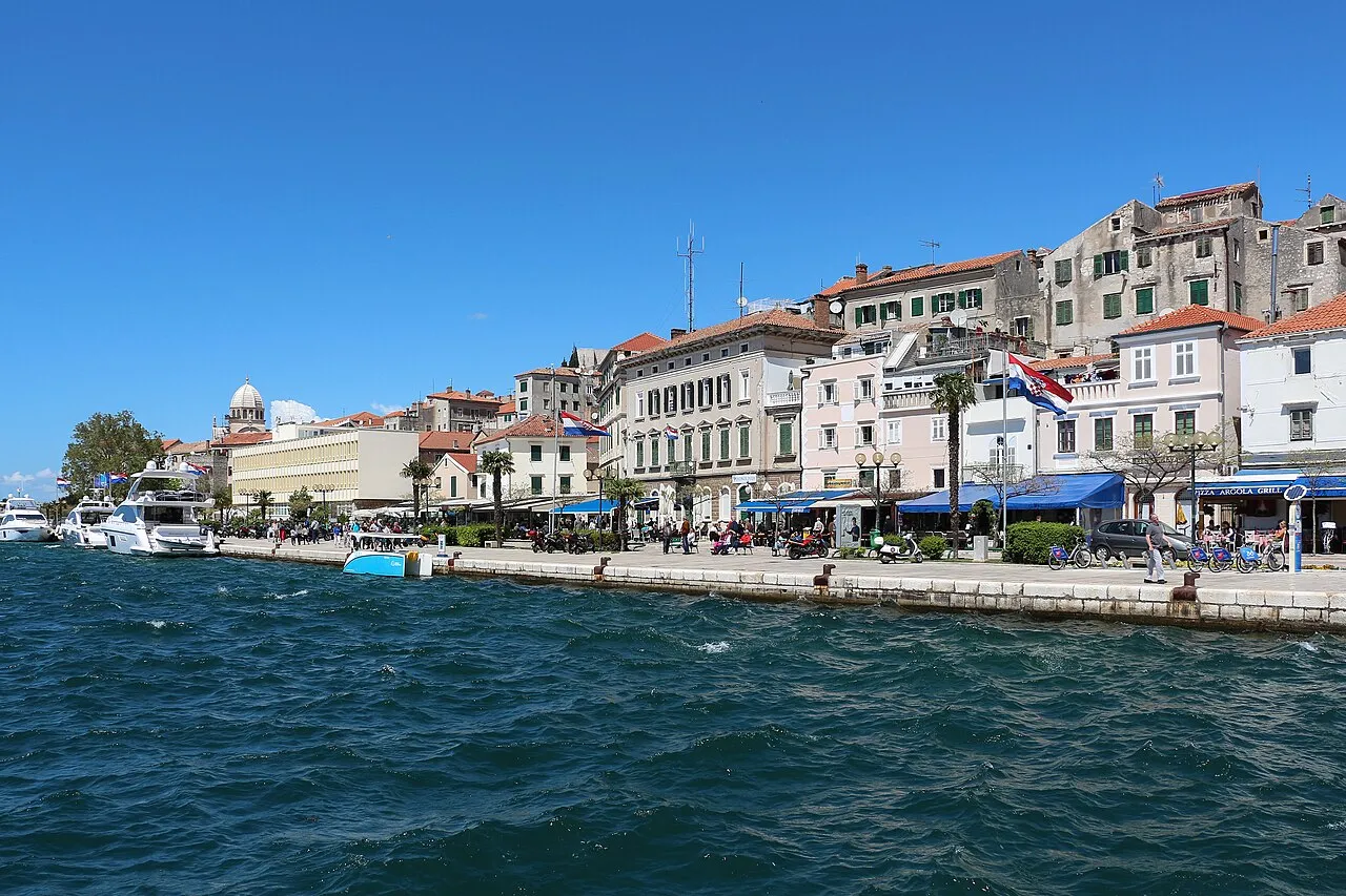
- Population
- 31,115
- 31.1K
- Elevation
- 16 m
- above sea level
- Local time
- UTC+01:00
- Europe/Zagreb · UTC+01:00
- Airports
- SPU Split Saint Jerome Airport39 km
- ZAD Zadar Airport59 km
About Šibenik
Šibenik is a city. Location: Town of Šibenik, Šibenik-Knin County. Population: 31,115. Elevation: 16 m. The best months to visit are May, September–October. The nearest airport is Split Saint Jerome Airport (39 km). Nearby sights include Barone Fortress and Fort Saint Michael.
Photos of Šibenik
-

E.G. Irving · Public domain -

Alexander Rumpel · CC BY-SA 4.0 -

Luboš Holič · CC BY-SA 3.0 -

Fortepan — ID 26141 : Adományozó/Donor: Varga János. archive copy at the Wayback Machine · CC BY-SA 3.0 -

Alexander Rumpel · CC BY-SA 4.0


Travel notes for Šibenik
From Wikivoyage
Šibenik is a city (pop. ~37,000) in Šibenik-Knin County, in northern Dalmatia, Croatia.
Understand+
Šibenik is most famous for Saint James Cathedral, which is on the UNESCO World Heritage list, as are the city walls from the Venetian era. A trademark of the city is the traditional Šibenik hat, coloured orange and black, also the city's colours. 16th-century polymath and bishop Faust Vrančić, known as one of the inventors of parachute and perhaps the first man who used it, was born here and lived here. Famous basketball player Dražen Petrović, and Maksim Mrvica, a piano player, were born here.
Šibenik was mentioned for the first time under its present name in 1066 in a Charter of the Croatian King Petar Krešimir IV. For a period of time, it was a seat of the Croatian King. For that reason, Šibenik is also called "Krešimirov grad" (Krešimir's city). It is the oldest native Croatian town on the eastern shores of the Adriatic sea. You can see the statue of King Petar Krešimir IV between the park and the beginning of the promenade along the sea. Šibenik was for almost 300 years under Venetian rule, and then in Austro-Hungary, Yugoslavia and finally, Croatia. It was a very important town in Venetian-Turkish wars and it was a frontier of the Western civilization and Christianity.
Tourist information:
1 Turističko informativni centar (Tourist Information Centre), Obala palih omladinaca 3, ☏ +385 22 214 448. (updated Oct 2016)
2 Turistička zajednica grada Šibenika (Šibenik Tourist Board), Fausta Vrančića 18, ☏ +385 22 212 075, tz-sibenik@si.t-com.hr. (updated Sep 2016)
Turistička zajednica Šibensko-Kninske Županije (Tourist board of Šibenik–Knin County), Fra Nikole Ružića bb, ☏ +385 22 219 072, info@sibenikregion.com. (updated Oct 2016)
Get in+
By plane:
Airports of Split and Zadar are quite close to the city (approx. 1 hr by bus).
For Split airport it would be more reasonable to get to Trogir straight from the airport (instead of Split proper), then take a bus from there.
By bus:
3 Autobusni kolodvor Šibenik (Bus station). 07:00-22:00. Šibenik is well connected by bus with Croatia, surrounding countries and Central Europe (Dortmund, Ljubljana). Left luggage service is available. (updated Sep 2016)
By boat:
4 Trajektno pristanište (Ferry quay). Local ferries are operating from the port to Kaprije, Prvic Luka, Sepurine, Vodice, Zirje and Zlarin. (updated Sep 2016)
For long distance destination, like Rijeka, Dubrovnik or Ancona and Bari, check ports of Split and Zadar.
By train:
5 Kolodvor Šibenik (Railway station), Fra Jeronima Milete 24. Mon-Fri 07:00-10:50 13:10-20:20, Sat 06:20-10:50, Sun 06:20-10:50 15:50-20:20. Šibenik is connected to the Croatian railway network by Šibenik-Perković line. From Perković there are some connections to Split and Zagreb. The trains are quite slow there and the schedule renders it virtually useless for a traveller. (updated Sep 2016)
By car:
Take A1 highway Zagreb-Split and turn off at Šibenik junction.
Source: Wikivoyage · CC BY-SA 4.0 · abridged
Climate of Šibenik
Best months for sightseeingBest months for sightseeing: May, September–October.
This month · November
Outside the best season
Day 15° · Night 8° · Rain 90 mm
- Hottest month
- July (day 30°)
- Coldest month
- January (night 4°)
- Wettest month
- November (90 mm)
- Driest month
- July (27 mm)
Bars: average monthly low and high temperature. Below: precipitation. Monthly averages for 1970–2000 at about 18 km resolution, adjusted for elevation. Highlighted months are mild and relatively dry. Source: WorldClim 2.1 (CC BY 4.0).
Show values as a table
| Month | Jan | Feb | Mar | Apr | May | Jun | Jul | Aug | Sep | Oct | Nov | Dec |
|---|---|---|---|---|---|---|---|---|---|---|---|---|
| Average high (°C) | 10° | 11° | 14° | 18° | 23° | 27° | 30° | 30° | 26° | 21° | 15° | 12° |
| Average low (°C) | 4° | 4° | 6° | 9° | 14° | 17° | 20° | 19° | 16° | 12° | 8° | 5° |
| Precipitation (mm) | 66 | 58 | 63 | 66 | 51 | 50 | 27 | 42 | 71 | 77 | 90 | 75 |
How to get to Šibenik
The nearest airport is Split Saint Jerome Airport (SPU), 39 km to the southeast as the crow flies. The nearest large city is Split, 51 km to the southeast.
Airports
- Split Saint Jerome Airport (SPU) Split 39 kmsoutheast
- Zadar Airport (ZAD) Zadar 59 kmnorthwest
- Brač Airport (BWK) Gornji Humac 81 kmsoutheast
Nearby large cities
- Split Population: 149.8K 51 kmsoutheast
- Banja Luka Population: 221.1K 156 kmnortheast
- Mostar Population: 104.5K 161 kmeast
- Zenica Population: 164.4K 169 kmeast
- Sarajevo Population: 696.7K 199 kmeast
Straight-line distances; road distances are longer. Airport data: OurAirports.
Day trips from Šibenik
Within 100 km: 10 historic and cultural sites, 33 natural sites, 70 lakes, rivers and coasts.
0–25 km18 places
- Otok Prvić Island 8 kmW
- Otok Zlarin Island 6 kmSW
- Otok Kaprije Island 16 kmW
- Krapanj Island 7 kmS
25–60 km33 places
- Šolta Island 51 kmSE
- Otok Mali Drvenik Island 35 kmSE
- Kornat Island 48 kmW
- Otok Žut Island 49 kmW
60–100 km62 places
- Brač Island 76 kmSE
- Birovača Mountain 95 kmN
- Otok Sestrunj Island 88 kmNW
- Otok Žverinac Island 92 kmNW
Straight-line distances.
Nearby attractions & nature
Everything nearby-
Barone Fortress Historic site, Šibenik-Knin County0.4 km NE
-
Fort Saint Michael Historic site, Šibenik-Knin County0.5 km NW
-
Fort Saint John Historic site, Šibenik-Knin County0.6 km N
-
 Krka River River, Šibenik-Knin County3.6 km SW
-
Fort Saint Nicholas Historic site, Šibenik-Knin County3.5 km SW
-
 Otok Zlarin Island, Šibenik-Knin County6.2 km SW
-
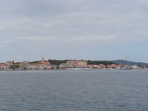 Krapanj Island, Šibenik-Knin County7 km S
-
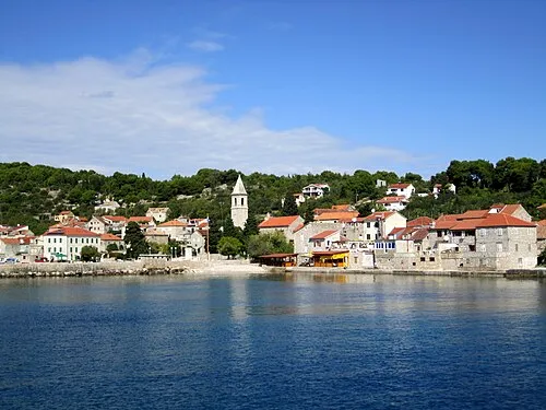 Otok Prvić Island, Šibenik-Knin County8 km W
Sources & licences
Data last updated: