Malo Grablje
Located in Town of Hvar, Split-Dalmatia County Coordinates: 43°10′00″ N 16°30′00″ E
- Population
- 3
- 3
- Elevation
- 120 m
- above sea level
- Local time
- UTC+01:00
- Europe/Zagreb · UTC+01:00
- Airports
- BWK Brač Airport20 km
- SPU Split Saint Jerome Airport44 km
About Malo Grablje
Malo Grablje is a village. Location: Town of Hvar, Split-Dalmatia County. Population: 3. Elevation: 120 m.
Malo Grablje, translated as "Little Grablje", is an uninhabited settlement in Croatia. It is located within the island of Hvar, which is mostly populated on its beaches and coastline. The village was evacuated in the 1960s, with the entire population moving to the coastal village Milna. The evacuation was so complete that some graves were exhumed and bodies moved to Milna as well. No property was ever made available for sale, despite potential interest.
Source: Wikipedia · CC BY-SA 4.0
At a glance
- Area
- 2.4 km²
Source: Wikidata
Photos of Malo Grablje
-
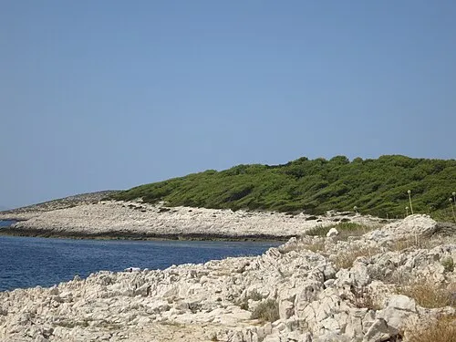
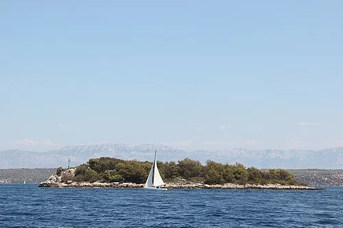
Otok Jerolim Mlc · CC BY-SA 3.0

Climate of Malo Grablje
Best months for sightseeingBest months for sightseeing: May–June, September–October.
This month · November
A wet month
Day 16° · Night 9° · Rain 101 mm
- Hottest month
- July (day 29°)
- Coldest month
- February (night 5°)
- Wettest month
- November (101 mm)
- Driest month
- July (28 mm)
Bars: average monthly low and high temperature. Below: precipitation. Monthly averages for 1970–2000 at about 18 km resolution, adjusted for elevation. Highlighted months are mild and relatively dry. Source: WorldClim 2.1 (CC BY 4.0).
Show values as a table
| Month | Jan | Feb | Mar | Apr | May | Jun | Jul | Aug | Sep | Oct | Nov | Dec |
|---|---|---|---|---|---|---|---|---|---|---|---|---|
| Average high (°C) | 11° | 11° | 14° | 17° | 22° | 26° | 29° | 29° | 25° | 20° | 16° | 12° |
| Average low (°C) | 6° | 5° | 7° | 10° | 14° | 18° | 20° | 20° | 17° | 13° | 9° | 7° |
| Precipitation (mm) | 72 | 60 | 66 | 63 | 51 | 44 | 28 | 45 | 65 | 85 | 101 | 88 |
Other places to visit in this season: May June September October
How to get to Malo Grablje
The nearest airport is Brač Airport (BWK), 20 km to the northeast as the crow flies. For international flights: Split Saint Jerome Airport (SPU) (44 km). The nearest large city is Split, 38 km to the north.
Airports
- Brač Airport (BWK) Gornji Humac 20 kmnortheast
- Split Saint Jerome Airport (SPU) Split 44 kmnorth
- Mostar International Airport (OMO) Mostar 110 kmeast
Nearby large cities
- Split Population: 149.8K 38 kmnorth
- Rijeka Population: 108K 291 kmnorthwest
- Zagreb Population: 663.6K 297 kmnorth
- Pécs Population: 145.3K 351 kmnorth
- Ljubljana Population: 272.2K 357 kmnorthwest
Straight-line distances; road distances are longer. Airport data: OurAirports.
Day trips from Malo Grablje
Within 100 km: 7 historic and cultural sites, 12 natural sites, 41 lakes, rivers and coasts.
0–25 km7 places
- Brač Island 20 kmNE
- Otok Šćedro Island 18 kmSE
- Otok Sveti Klement Island 10 kmW
- Hvar Island 19 kmE
25–60 km23 places
- Šolta Island 29 kmNW
- Lagosta Island Island 55 kmSE
- Otok Mali Drvenik Island 47 kmNW
- Skrivena Luka Natural site 57 kmSE
60–100 km30 places
- Mljet Island 97 kmSE
- Otok Prvić Island 85 kmNW
- Otok Zlarin Island 79 kmNW
- Otok Kaprije Island 87 kmNW
Straight-line distances.
Nearby attractions & nature
Everything nearby-
Otok Jerolim Island, Split-Dalmatia County5.4 km W
-
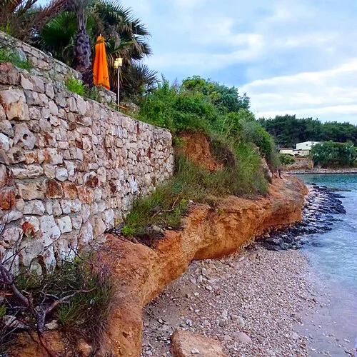 Otok Sveti Klement Island, Split-Dalmatia County10 km W
-
 Otok Šćedro Island, Municipality of Jelsa18 km SE
-
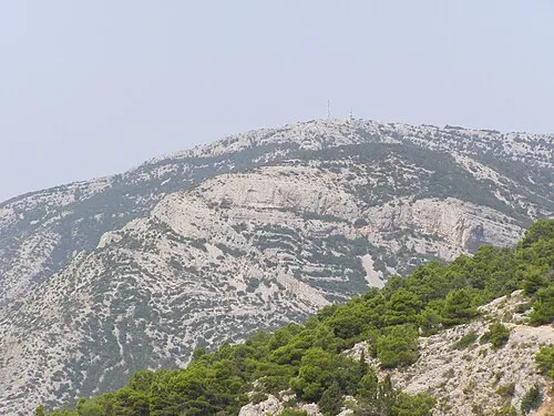 Vidova Gora Mountain, Split-Dalmatia County16 km NE
-
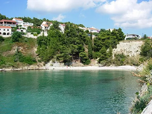 Hvar Island, Split-Dalmatia County19 km E
-
 Otok Mrduja Island, Split-Dalmatia County20 km N
Sources & licences
Data last updated: · 2 independent sources