Pitomača
Located in Municipality of Pitomača, Virovitica-Podravina County Coordinates: 45°57′02″ N 17°13′46″ E
- Population
- 4,845
- 4.8K
- Elevation
- 111 m
- above sea level
- Local time
- UTC+01:00
- Europe/Zagreb · UTC+01:00
- Airports
- PEV Pécs-Pogány International Airport79 km
- SOB Hévíz–Balaton Airport82 km
About Pitomača
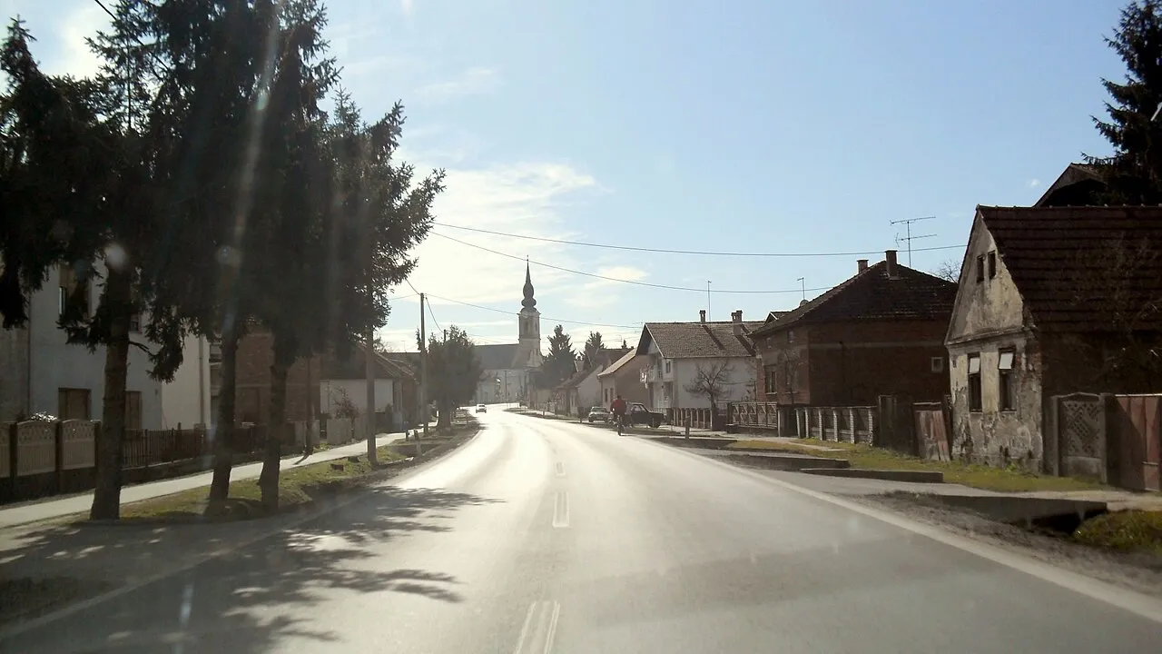
Pitomača is a city. Location: Municipality of Pitomača, Virovitica-Podravina County. Population: 4,845. Elevation: 111 m.
Pitomača is a village and a municipality in Croatia in the Virovitica–Podravina County. In the 2011 census, it had a total population of 10,059, in the following settlements: Dinjevac, population 458 Grabrovnica, population 405 Kladare, population 467 Križnica, population 128 Mala Črešnjevica, population 199 Otrovanec, population 624 Pitomača, population 5,646 Sedlarica, population 363 Stari Gradac, population 674 Starogradački Marof, population 247 Turnašica, population 333 Velika Črešnjevica, population 515 In…
Source: Wikipedia · CC BY-SA 4.0
Photos of Pitomača
-

IvanOS · CC BY-SA 3.0 hr -

IvanOS · CC BY-SA 3.0 hr -

Euterpa Globtroter · CC BY-SA 4.0 -

Frane Lovošević · CC BY-SA 3.0 -

Autor nepoznat · Public domain


Places bordering Pitomača
- Veliki Grđevac
Climate of Pitomača
Best months for sightseeingBest months for sightseeing: May, September.
This month · November
A cold month
Day 10° · Night 3° · Rain 76 mm
- Hottest month
- July (day 28°)
- Coldest month
- January (night -2°)
- Wettest month
- June (90 mm)
- Driest month
- February (41 mm)
Bars: average monthly low and high temperature. Below: precipitation. Monthly averages for 1970–2000 at about 18 km resolution, adjusted for elevation. Highlighted months are mild and relatively dry. Source: WorldClim 2.1 (CC BY 4.0).
Show values as a table
| Month | Jan | Feb | Mar | Apr | May | Jun | Jul | Aug | Sep | Oct | Nov | Dec |
|---|---|---|---|---|---|---|---|---|---|---|---|---|
| Average high (°C) | 4° | 7° | 12° | 18° | 23° | 26° | 28° | 28° | 22° | 17° | 10° | 4° |
| Average low (°C) | -2° | -1° | 3° | 7° | 12° | 16° | 17° | 16° | 12° | 7° | 3° | -1° |
| Precipitation (mm) | 46 | 41 | 49 | 62 | 74 | 90 | 76 | 79 | 68 | 65 | 76 | 57 |
How to get to Pitomača
The nearest airport is Pécs-Pogány International Airport (PEV), 79 km to the east as the crow flies. The nearest large city is Pécs, 79 km to the east.
Airports
- Pécs-Pogány International Airport (PEV) Pécs 79 kmeast
- Hévíz–Balaton Airport (SOB) Sármellék 82 kmnorth
- Zagreb Franjo Tuđman International Airport (ZAG) Velika Gorica 93 kmwest
Nearby large cities
- Pécs Population: 145.3K 79 kmeast
- Zagreb Population: 663.6K 98 kmwest
- Székesfehérvár Population: 101.6K 165 kmnortheast
- Graz Population: 303.3K 185 kmnorthwest
- Győr Population: 129.3K 195 kmnorth
Straight-line distances; road distances are longer. Airport data: OurAirports.
Day trips from Pitomača
Within 100 km: 13 historic and cultural sites, 33 natural sites, 29 lakes, rivers and coasts.
0–25 km4 places
- Komarnica River 24 kmNW
- Čivičevac River 16 kmNW
- Brana River 24 kmE
- Barcs Ghetto Historic site 18 kmE
25–60 km15 places
- Sredska River 33 kmSW
- Plitvica River 55 kmNW
- Kamešnica Potok River 59 kmW
- Vése Mountain 52 kmN
60–100 km56 places
- Kašina River 78 kmW
- Krndija Mountain 77 kmSE
- Ledava River 75 kmNW
- Ščavnica River 96 kmNW
Straight-line distances.
Nearby attractions & nature
Everything nearby-
Čivičevac River, Croatia16 km NW
-
Barcs Ghetto Historic site, Somogy County18 km E
-
Komarnica River, Croatia24 km NW
-
Brana River, Croatia24 km E
Sources & licences
Data last updated: · 2 independent sources