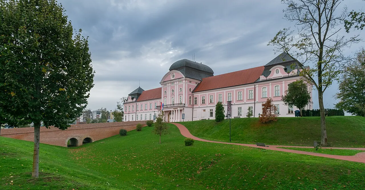
- Population
- 70,368
- 70.4K
- Elevation
- 144 m
- above sea level
- Local time
- UTC+01:00
- Europe/Zagreb · UTC+01:00
- Places inside
- 16
- listed under Virovitica-Podravina County
- Airports
- PEV Pécs-Pogány International Airport58 km
- BNX Banja Luka International Airport93 km
About Virovitica-Podravina County
Virovitica-Podravina County is a region. Location: Croatia. Population: 70,368.
Virovitica-Podravina County (pronounced [ʋiroʋǐtit͡sa-pǒdraʋina]; Croatian: Virovitičko-podravska županija [ʋiroʋǐtit͡ʃko-pǒdraʋskaː ʒupǎnija]; Hungarian: Verőce-Drávamente megye) is a northern Slavonian county in Croatia. Its county seat is in Virovitica and it includes the area around the Drava river, Podravina being the Drava's drainage basin. Other notable towns are Slatina and Orahovica.
Read more on Wikipedia Text: Wikipedia contributors · CC BY-SA 4.0 · shortened
Places bordering Virovitica-Podravina County
- Bjelovar-Bilogora County
- Koprivnica-Križevci County
- Požega-Slavonia County
- County of Osijek-Baranja
Climate of Virovitica-Podravina County
Best months for sightseeingBest months for sightseeing: May–June, September.
Bars: average monthly low and high temperature. Below: precipitation. Monthly averages for 1970–2000 at about 18 km resolution, adjusted for elevation. Highlighted months are mild and relatively dry. Source: WorldClim 2.1 (CC BY 4.0).
Show values as a table
| Month | Jan | Feb | Mar | Apr | May | Jun | Jul | Aug | Sep | Oct | Nov | Dec |
|---|---|---|---|---|---|---|---|---|---|---|---|---|
| Average high (°C) | 3° | 6° | 12° | 17° | 22° | 25° | 27° | 27° | 22° | 17° | 9° | 4° |
| Average low (°C) | -2° | -1° | 2° | 6° | 11° | 14° | 16° | 15° | 11° | 7° | 3° | -1° |
| Precipitation (mm) | 46 | 41 | 47 | 61 | 74 | 91 | 72 | 76 | 63 | 65 | 75 | 57 |
Airports nearest to Virovitica-Podravina County
- Pécs-Pogány International Airport (PEV) Pécs 58 km
- Banja Luka International Airport (BNX) Mahovljani 93 km
- Osijek Airport (OSI) Osijek(Klisa) 101 km
Straight-line distance; airports with scheduled flights only. Source: OurAirports (public domain).
Places in Virovitica-Podravina County
16 places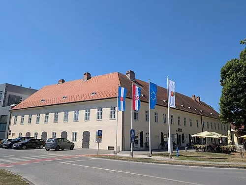
Town of Virovitica
Population: 19.3K
Town of Slatina
Population: 11.5K
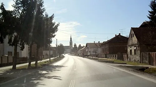
Municipality of Pitomača
Population: 8.4K

Municipality of Suhopolje
Population: 5.3K

Town of Orahovica
Population: 4.5K
Municipality of Špišić Bukovica
Population: 3.3K
- 7 Municipality of Gradina 2.9K
- 8 Municipality of Lukač 2.8K
- 9 Municipality of Čačinci 2.2K
- 10 Municipality of Sopje 1.9K
- 11 Municipality of Voćin 1.9K
- 12 Municipality of Čađavica 1.6K
- 13 Municipality of Zdenci 1.5K
- 14 Municipality of Nova Bukovica 1.3K
- 15 Municipality of Crnac 1.1K
- 16 Municipality of Mikleuš 1.1K
Bar: population relative to the most populous place in this list.
Largest cities and towns
-
Pitomača City, Municipality of Pitomača4.8K
-
Suhopolje City, Municipality of Suhopolje2.2K
-
 Čačinci City, Municipality of Čačinci1.7K
-
Slatina City, Town of Slatina8.7K
-
 Voćin City, Municipality of Voćin956
-
Virovitica City, Town of Virovitica13.5K
-
Zdenci City, Municipality of Zdenci737
-
Mikleuš City, Municipality of Mikleuš646
Other regions in Croatia
-
 Požega-Slavonia County Region, Croatia38 km S
-
Municipality of Đulovac District, Bjelovar-Bilogora County15 km SW
-
Town of Daruvar District, Bjelovar-Bilogora County32 km SW
-
Town of Grubišno Polje District, Bjelovar-Bilogora County33 km W
-
Municipality of Velika District, Požega-Slavonia County33 km S
Sources & licences
Data last updated: · 2 independent sources