Čačinci
Located in Municipality of Čačinci, Virovitica-Podravina County Coordinates: 45°36′14″ N 17°52′13″ E
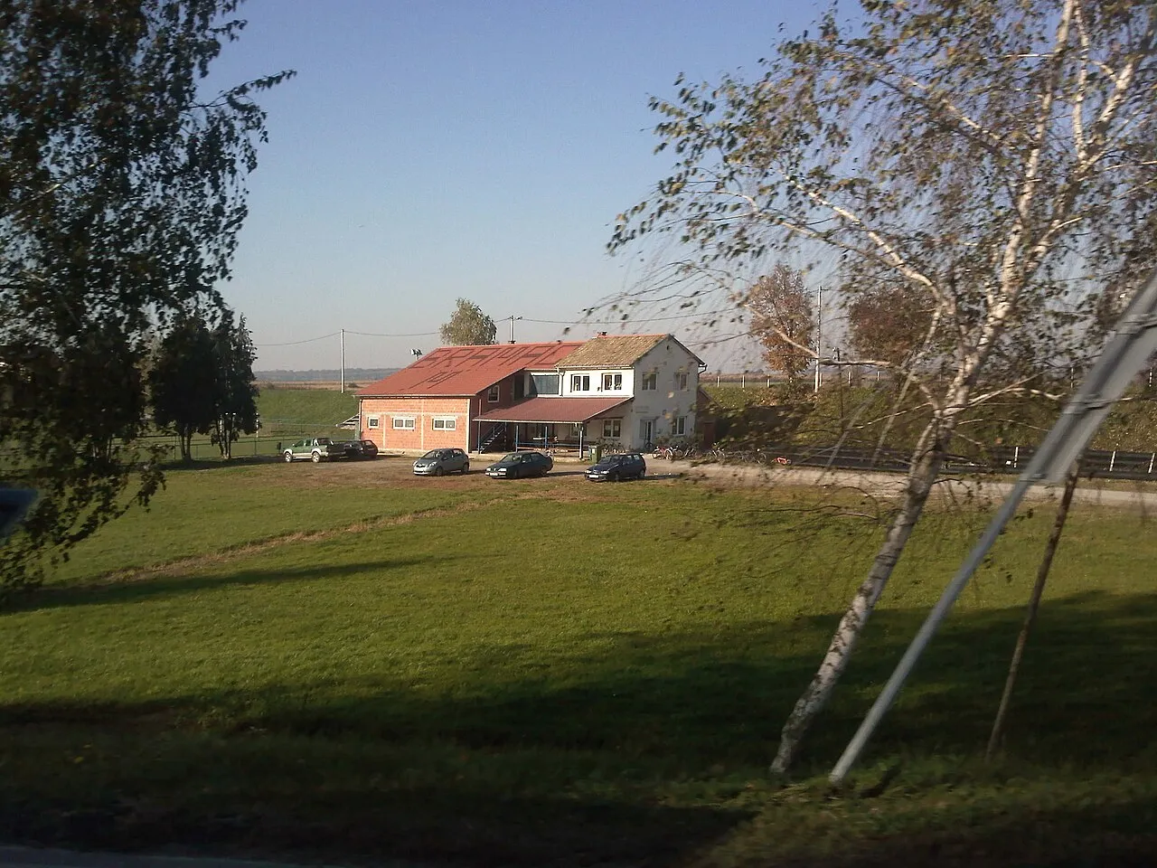
- Population
- 1,719
- 1.7K
- Elevation
- 115 m
- above sea level
- Local time
- UTC+01:00
- Europe/Zagreb · UTC+01:00
- Airports
- PEV Pécs-Pogány International Airport52 km
- OSI Osijek Airport75 km
About Čačinci
Čačinci is a city. Location: Municipality of Čačinci, Virovitica-Podravina County. Population: 1,719. Elevation: 115 m.
Čačinci (German: Schatzenburg) is a village and a municipality in Croatia in Virovitica-Podravina County. In the 2011 census, it had a total population of 2,802, in the following settlements: Brezovljani Vojlovički, population 50 Bukvik, population 199 Čačinci, population 2,110 Humljani, population 129 Krajna, population 15 Krasković, no population Paušinci, population 168 Prekoračani, no population Pušina, population 33 Rajino Polje, population 30 Slatinski Drenovac, population 50 Vojlovica, population 18 In the…
Source: Wikipedia · CC BY-SA 4.0
Photos of Čačinci
-
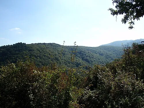
Krndija Toca , original uploader was Roberta F. at hr.wikipedia · CC BY-SA 3.0

Climate of Čačinci
Best months for sightseeingBest months for sightseeing: May–June, September.
This month · November
A cold month
Day 9° · Night 2° · Rain 73 mm
- Hottest month
- July (day 27°)
- Coldest month
- January (night -3°)
- Wettest month
- June (93 mm)
- Driest month
- February (42 mm)
Bars: average monthly low and high temperature. Below: precipitation. Monthly averages for 1970–2000 at about 18 km resolution, adjusted for elevation. Highlighted months are mild and relatively dry. Source: WorldClim 2.1 (CC BY 4.0).
Show values as a table
| Month | Jan | Feb | Mar | Apr | May | Jun | Jul | Aug | Sep | Oct | Nov | Dec |
|---|---|---|---|---|---|---|---|---|---|---|---|---|
| Average high (°C) | 3° | 6° | 12° | 16° | 22° | 25° | 27° | 27° | 23° | 17° | 9° | 5° |
| Average low (°C) | -3° | -2° | 2° | 6° | 11° | 14° | 15° | 15° | 11° | 6° | 2° | -1° |
| Precipitation (mm) | 45 | 42 | 44 | 57 | 70 | 93 | 67 | 67 | 56 | 64 | 73 | 57 |
How to get to Čačinci
The nearest airport is Pécs-Pogány International Airport (PEV), 52 km to the northeast as the crow flies. The nearest large city is Pécs, 59 km to the northeast.
Airports
- Pécs-Pogány International Airport (PEV) Pécs 52 kmnortheast
- Osijek Airport (OSI) Osijek(Klisa) 75 kmeast
- Banja Luka International Airport (BNX) Mahovljani 86 kmsouthwest
Nearby large cities
- Pécs Population: 145.3K 59 kmnortheast
- Banja Luka Population: 221.1K 106 kmsouthwest
- Tuzla Population: 142.5K 134 kmsoutheast
- Zagreb Population: 663.6K 149 kmwest
- Zenica Population: 164.4K 156 kmsouth
Straight-line distances; road distances are longer. Airport data: OurAirports.
Day trips from Čačinci
Within 100 km: 10 historic and cultural sites, 43 natural sites, 42 lakes, rivers and coasts.
0–25 km2 places
- Krndija Mountain 17 kmS
- Papuk Mountain 23 kmSW
25–60 km21 places
- Dolovi Natural site 56 kmS
- Ukrina River 58 kmS
- Crna River 60 kmS
- Cerje Mountain 47 kmS
60–100 km72 places
- Island of Vukovar Island 95 kmE
- Živica River 96 kmE
- Busača Lake 85 kmSE
- Rt Mountain 92 kmS
Straight-line distances.
Nearby attractions & nature
Everything nearby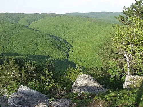
Sources & licences
Data last updated: · 2 independent sources