Municipality of Povljana
Located in Zadar County, Croatia Coordinates: 44°20′49″ N 15°06′42″ E
- Population
- 669
- 669
- Elevation
- 29 m
- above sea level
- Local time
- UTC+01:00
- Europe/Zagreb · UTC+01:00
- Airports
- ZAD Zadar Airport34 km
- RJK Rijeka Airport106 km
About Municipality of Povljana
Municipality of Povljana is a district. Location: Zadar County, Croatia. Population: 669. The best months to visit are May–June, September. The nearest airport is Zadar Airport (34 km). Nearby sights include Otok Vir and Sveti Ivan.
Climate of Municipality of Povljana
Best months for sightseeingBest months for sightseeing: May–June, September.
This month · November
A wet month
Day 14° · Night 6° · Rain 121 mm
- Hottest month
- July (day 29°)
- Coldest month
- January (night 2°)
- Wettest month
- October (122 mm)
- Driest month
- July (38 mm)
Bars: average monthly low and high temperature. Below: precipitation. Monthly averages for 1970–2000 at about 18 km resolution, adjusted for elevation. Highlighted months are mild and relatively dry. Source: WorldClim 2.1 (CC BY 4.0).
Show values as a table
| Month | Jan | Feb | Mar | Apr | May | Jun | Jul | Aug | Sep | Oct | Nov | Dec |
|---|---|---|---|---|---|---|---|---|---|---|---|---|
| Average high (°C) | 9° | 10° | 13° | 17° | 22° | 26° | 29° | 29° | 24° | 19° | 14° | 10° |
| Average low (°C) | 2° | 2° | 5° | 8° | 12° | 16° | 18° | 18° | 14° | 11° | 6° | 3° |
| Precipitation (mm) | 79 | 70 | 74 | 76 | 72 | 64 | 38 | 57 | 111 | 122 | 121 | 102 |
How to get to Municipality of Povljana
The nearest airport is Zadar Airport (ZAD), 34 km to the southeast as the crow flies. The nearest large city is Rijeka, 121 km to the northwest.
Airports
- Zadar Airport (ZAD) Zadar 34 kmsoutheast
- Rijeka Airport (RJK) Rijeka(Omišalj) 106 kmnorthwest
- Pula Airport (PUY) Pula 112 kmnorthwest
Nearby large cities
- Rijeka Population: 108K 121 kmnorthwest
- Split Population: 149.8K 142 kmsoutheast
- Zagreb Population: 663.6K 177 kmnorth
- Ljubljana Population: 272.2K 195 kmnorth
- Klagenfurt Population: 100.3K 261 kmnorth
Straight-line distances; road distances are longer. Airport data: OurAirports.
Day trips from Municipality of Povljana
Within 100 km: 8 historic and cultural sites, 21 natural sites, 70 lakes, rivers and coasts.
0–25 km12 places
- Otok Sestrunj Island 23 kmSW
- Otočić Mišjak Island 8 kmSE
- Sveti Ivan Mountain 8 kmN
- Otok Vir Island 6 kmSW
25–60 km36 places
- Silba Island 33 kmW
- Otok Ilovik Island 46 kmW
- Otok Premuda Island 39 kmW
- Otok Žverinac Island 26 kmSW
60–100 km51 places
- Krk Island 90 kmNW
- Lošinj Island 63 kmNW
- Uvala Stipanja Natural site 96 kmN
- Otok Prvić Island 87 kmSE
Straight-line distances.
Nearby attractions & nature
Everything nearby-
Otok Vir Island, Zadar County6.1 km SW
-
Sveti Ivan Mountain, Zadar County7.8 km N
-
Otočić Mišjak Island, Zadar County7.8 km SE
-
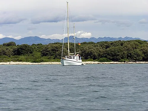 Otok Maun Island, Zadar County18 km NW
-
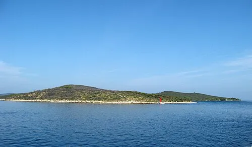 Otok Sestrunj Island, Zadar County23 km SW
-
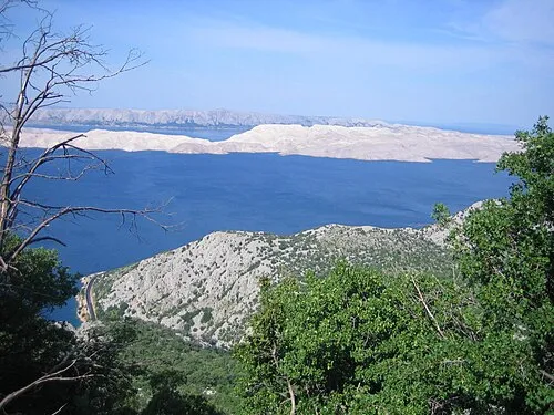 Pag Island, Zadar County19 km NW
Sources & licences
Data last updated: