- Population
- 67,309
- 67.3K
- Elevation
- 2 m
- above sea level
- Local time
- UTC+01:00
- Europe/Zagreb · UTC+01:00
- Airports
- ZAD Zadar Airport10 km
- SPU Split Saint Jerome Airport107 km
About Zadar
Zadar is a city. Location: Town of Zadar, Zadar County. Population: 67,309. Elevation: 2 m.
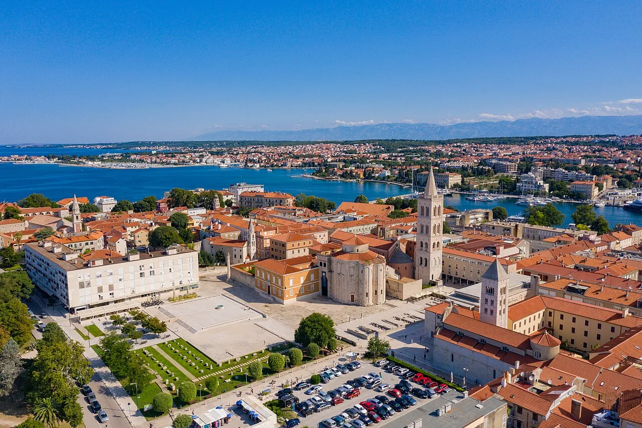
Zadar (US: ZAH-dar, Croatian: [zâdar] ), historically known as Zara (from Venetian and Italian, pronounced [ˈdzaːra]; see also other names), is the oldest continuously inhabited city in Croatia. It is situated on the Adriatic Sea, at the northwestern part of Ravni Kotari region. Zadar serves as the seat of Zadar County and of the wider northern Dalmatian region.
Source: Wikipedia · CC BY-SA 4.0
Photos of Zadar
-

dronepicr · CC BY 2.0 -

dronepicr · CC BY 2.0 -

lienyuan lee · CC BY 3.0 -

lienyuan lee · CC BY 3.0 -

Jean-Auguste Brutails · Public domain


Travel notes for Zadar
From Wikivoyage
Zadar is the biggest city, cultural, economic and transit center of northern Dalmatia and the oldest continuously inhabited city in Croatia. Zadar is today one of the most popular Croatian tourist destinations, named "entertainment center of the Adriatic" by The Times and "Croatia's new capital of cool" by The Guardian in 2017.
Understand+
Its Venetian city walls are inscribed on the UNESCO World Heritage List.
Tourist information:
1 Turistička zajednica Grada Zadra (Tourist Information Centre), Mihovila Klaića 1. (updated Aug 2016)
Get in+
By plane:
1 Zračna luka Zadar (Zadar Airport ZAD IATA) (12 km east of the centre). The airport shares its airfield with the military. There used to be a civic road crossing its taxi lanes, so the traffic was regulated by lifting gates, but that doesn't seem the case anymore. Nevertheless it's an international airport with flights by Croatia Airlines, Eurowings, Ryanair, etc., and various charters in season. It is rapidly growing as they passed 1,000,000 passengers and 70 destinations, likely to become one of the Ryanair hubs for the region through the year also. The airport and associated businesses do not operate after midnight. (updated Aug 2016)
Ground transportation:
Airport shuttle. The bus runs to the city's bus station and then continues up to the bus hub at the old town. €5. (updated Oct 2023)
Buses run to the Central bus station and Old town from Zadar airport terminal. These buses are clean, comfortable and efficient. Buses run in conjunction with arriving flights. Therefore they will run more frequently during weekdays than at weekends, as more flights are arriving at the airport. However, at weekends it is still possible to catch a bus. The airport bus costs €5.
You can also rent a car at Zadar airport. There are multiple car rental companies.
For taxi or pre-booked transfers are also available.
By bus:
2 Autobusni kolodvor Zadar (Bus station), ☏ +385 23 211555. 05:30-22:00. Frequent buses run to and from Zagreb (3hr 30 min), Rijeka (change for Trieste in Italy), Pula, Šibenik, Split and on to Dubrovnik, some service destination in Germany. In the season daily buses to Banja Luka in Bosnia and Herzegovina. (updated Aug 2016)
Left luggage. Storage is available at the station. €0.54 per hour. (updated Oct 2023)
About half the buses for Zagreb pass through the stunning Plitvice National Park.
If arriving after midnight you might find only fast food place open around the clock.
By train:
Source: Wikivoyage · CC BY-SA 4.0 · abridged
Places bordering Zadar
- Nin
- Poličnik
Twin towns and sister cities of Zadar
- Dundee· United Kingdom
Source: Wikidata. Only places with a page on this site are shown.
Climate of Zadar
Best months for sightseeingBest months for sightseeing: May–June, September–October.
This month · November
A wet month
Day 15° · Night 6° · Rain 102 mm
- Hottest month
- July (day 30°)
- Coldest month
- January (night 2°)
- Wettest month
- October (104 mm)
- Driest month
- July (31 mm)
Bars: average monthly low and high temperature. Below: precipitation. Monthly averages for 1970–2000 at about 18 km resolution, adjusted for elevation. Highlighted months are mild and relatively dry. Source: WorldClim 2.1 (CC BY 4.0).
Show values as a table
| Month | Jan | Feb | Mar | Apr | May | Jun | Jul | Aug | Sep | Oct | Nov | Dec |
|---|---|---|---|---|---|---|---|---|---|---|---|---|
| Average high (°C) | 10° | 11° | 14° | 17° | 23° | 26° | 30° | 30° | 25° | 21° | 15° | 11° |
| Average low (°C) | 2° | 2° | 5° | 8° | 12° | 16° | 18° | 18° | 14° | 11° | 6° | 3° |
| Precipitation (mm) | 73 | 62 | 65 | 70 | 65 | 54 | 31 | 49 | 97 | 104 | 102 | 92 |
Other places to visit in this season: May June September October
How to get to Zadar
The nearest airport is Zadar Airport (ZAD), 10 km to the east as the crow flies. The nearest large city is Split, 119 km to the southeast.
Airports
- Zadar Airport (ZAD) Zadar 10 kmeast
- Split Saint Jerome Airport (SPU) Split 107 kmsoutheast
- Rijeka Airport (RJK) Rijeka(Omišalj) 133 kmnorthwest
Nearby large cities
- Split Population: 149.8K 119 kmsoutheast
- Rijeka Population: 108K 148 kmnorthwest
- Zagreb Population: 663.6K 198 kmnorth
- Ljubljana Population: 272.2K 222 kmnorth
- Klagenfurt Population: 100.3K 288 kmnorth
Straight-line distances; road distances are longer. Airport data: OurAirports.
Day trips from Zadar
Within 100 km: 8 historic and cultural sites, 18 natural sites, 65 lakes, rivers and coasts.
0–25 km15 places
- Otok Sestrunj Island 20 kmW
- Otočić Ošljak Island 5 kmS
- Pasman Island 21 kmSE
- Zadar Cathedral Attraction 1 kmNW
25–60 km33 places
- Silba Island 52 kmNW
- Otok Premuda Island 53 kmNW
- Otok Žverinac Island 25 kmW
- Kornat Island 33 kmS
60–100 km43 places
- Lošinj Island 84 kmNW
- Otok Prvić Island 62 kmSE
- Otok Zlarin Island 69 kmSE
- Otok Kaprije Island 60 kmSE
Straight-line distances.
Zadar and similar cities
Side by side with cities of similar size in the same country: population, elevation and climate.
| Measure | Zadar | Osijek | Pula | Slavonski Brod |
|---|---|---|---|---|
| Population | 67.3K | 75.5K | 52.2K | 45K |
| Elevation | 2 m | 87 m | 11 m | 83 m |
| Summer day (hottest month) | 30° | 27° | 29° | 28° |
| Winter night (coldest month) | 2° | -3° | 2° | -4° |
| Annual rainfall | 864 mm | 638 mm | 824 mm | 775 mm |
| Best months | May–Jun, Sep–Oct | May–Jun, Sep | May–Jun, Sep | May–Jun, Sep |
| Distance | — | 317 km | 138 km | 250 km |
Climate values are 1970–2000 monthly averages; straight-line distance.
Nearby attractions & nature
Everything nearby-
Zadar Cathedral Attraction, Zadar County0.1 km NW
-
Gaženica Natural site, Croatia2.7 km SE
-
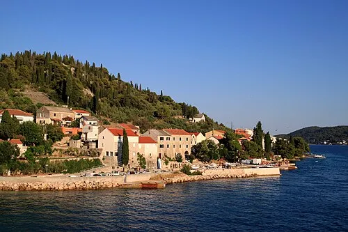 Otočić Ošljak Island, Zadar County4.9 km S
-
Ugljan Island, Zadar County5.8 km SW
-
 Otok Iž Island, Zadar County13 km SW
-
 Otok Rivanj Island, Zadar County16 km W
-
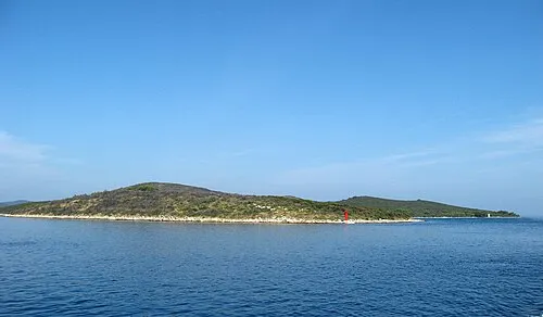 Otok Sestrunj Island, Zadar County20 km W
-
 Otok Rava Island, Zadar County17 km SW
Sources & licences
Data last updated: · 2 independent sources