- Elevation
- 18 m
- above sea level
- Local time
- UTC+01:00
- Europe/Zagreb · UTC+01:00
- Airports
- ZAD Zadar Airport22 km
- SPU Split Saint Jerome Airport94 km
About Zrmanja
Zrmanja is a river. Location: Croatia.
Zrmanja (pronounced [zř̩maɲa], Italian: Zermagna) is a river in southern Lika and northern Dalmatia, Croatia. It is 69 km (43 mi) long and its basin covers an area of 907 km2 (350 mi2). It was known to the ancient Romans as Tedanius. The spring of Zrmanja is located in southern part of Lika under Postak - the southern peak of Pljesevica mountain, and close to south end of Velebit mountain. It is characteristic for its spring located on the bottom of very steep, almost 200 m high funnel shape rock called Misije.
Read more on Wikipedia Text: Wikipedia contributors · CC BY-SA 4.0 · shortened
At a glance
- Length
- 69 km
Source: Wikidata
Climate of Zrmanja
Best months for sightseeingBest months for sightseeing: May–June, September.
Bars: average monthly low and high temperature. Below: precipitation. Monthly averages for 1970–2000 at about 18 km resolution, adjusted for elevation. Highlighted months are mild and relatively dry. Source: WorldClim 2.1 (CC BY 4.0).
Show values as a table
| Month | Jan | Feb | Mar | Apr | May | Jun | Jul | Aug | Sep | Oct | Nov | Dec |
|---|---|---|---|---|---|---|---|---|---|---|---|---|
| Average high (°C) | 9° | 10° | 13° | 17° | 22° | 26° | 29° | 29° | 25° | 19° | 14° | 10° |
| Average low (°C) | 2° | 2° | 4° | 8° | 12° | 16° | 18° | 17° | 14° | 10° | 6° | 3° |
| Precipitation (mm) | 83 | 80 | 83 | 89 | 79 | 74 | 47 | 64 | 107 | 119 | 132 | 110 |
Airports nearest to Zrmanja
- Zadar Airport (ZAD) Zadar 22 km
- Split Saint Jerome Airport (SPU) Split 94 km
- Brač Airport (BWK) Gornji Humac 135 km
Straight-line distance; airports with scheduled flights only. Source: OurAirports (public domain).
Nearest towns and villages
-
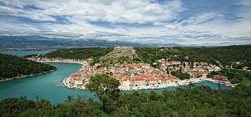 Novigrad City, Municipality of Novigrad3.9 km SW
-
Maslenica Village, Municipality of Jasenice4.1 km NW
-
Pridraga Village, Municipality of Novigrad6.4 km S
-
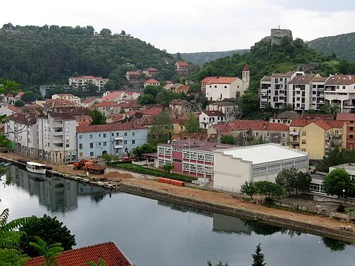 Obrovac City, Town of Obrovac7.6 km E
-
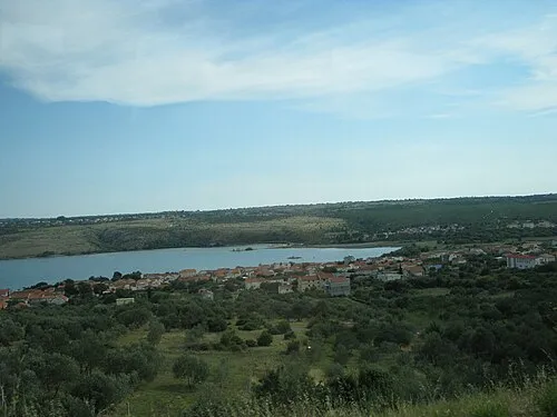 Posedarje City, Municipality of Posedarje8.9 km W
-
Zaton Obrovački Village, Municipality of Jasenice8.5 km E
Nearby attractions & nature
Everything nearby-
 Paklenica National Park Natural site, Croatia19 km NW
-
Asseria Historic site, Zadar County20 km S
More lakes, rivers and coasts in Croatia
-
Ugljan Island, Zadar County36 km W
-
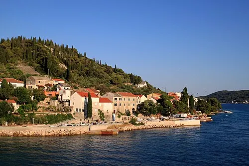 Otočić Ošljak Island, Zadar County34 km SW
-
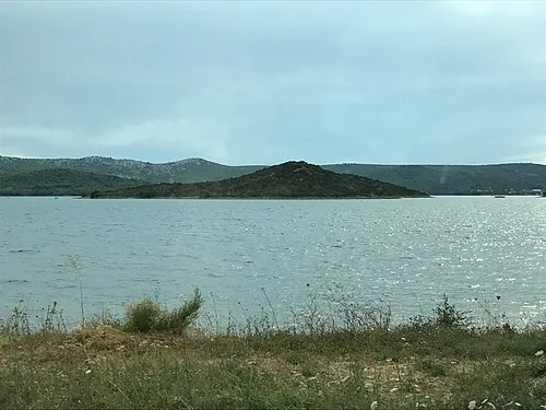 Otočić Galešnjak Island, Zadar County30 km SW
-
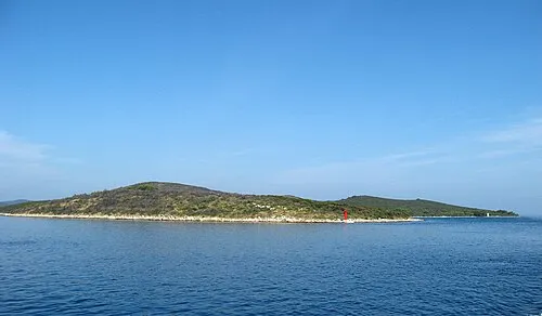 Otok Sestrunj Island, Zadar County49 km W
-
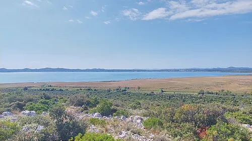 Lake Vrana Lake, Zadar County34 km S
-
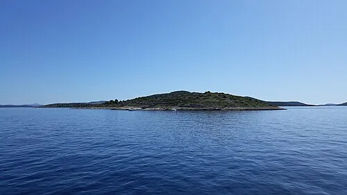 Otok Kaprije Island, Šibenik-Knin County58 km S
Sources & licences
Data last updated: · 2 independent sources