
- Elevation
- 712 m
- above sea level
- Local time
- UTC+01:00
- Europe/Zagreb · UTC+01:00
- Airports
- ZAD Zadar Airport28 km
- SPU Split Saint Jerome Airport113 km
About Paklenica National Park
Paklenica National Park is a natural site. Location: Croatia.
The Paklenica karst river canyon is a national park in Croatia. It is near Starigrad, northern Dalmatia, on the southern slopes of Velebit mountain, not far from Zadar. It contains two canyons, Mala (Small) and Velika (Big) Paklenica.
Source: Wikipedia · CC BY-SA 4.0
At a glance
- Built
- 1949
- Heritage designation
- part of UNESCO World Heritage Site
- Area
- 95 km²
- Official website
- paklenica.hr
Source: Wikidata
Climate of Paklenica National Park
Best months for sightseeingBest months for sightseeing: June–August.
This month · November
A wet month
Day 9° · Night 1° · Rain 163 mm
- Hottest month
- August (day 24°)
- Coldest month
- February (night -3°)
- Wettest month
- November (163 mm)
- Driest month
- July (55 mm)
Bars: average monthly low and high temperature. Below: precipitation. Monthly averages for 1970–2000 at about 18 km resolution, adjusted for elevation. Highlighted months are mild and relatively dry. Source: WorldClim 2.1 (CC BY 4.0).
Show values as a table
| Month | Jan | Feb | Mar | Apr | May | Jun | Jul | Aug | Sep | Oct | Nov | Dec |
|---|---|---|---|---|---|---|---|---|---|---|---|---|
| Average high (°C) | 4° | 5° | 8° | 12° | 17° | 21° | 24° | 24° | 19° | 14° | 9° | 5° |
| Average low (°C) | -3° | -3° | -1° | 3° | 7° | 10° | 12° | 12° | 9° | 5° | 1° | -2° |
| Precipitation (mm) | 96 | 95 | 96 | 105 | 91 | 90 | 55 | 77 | 125 | 142 | 163 | 132 |
How to get to Paklenica National Park
The nearest airport is Zadar Airport (ZAD), 28 km to the south as the crow flies. The nearest large city is Split, 123 km to the southeast.
Airports
- Zadar Airport (ZAD) Zadar 28 kmsouth
- Split Saint Jerome Airport (SPU) Split 113 kmsoutheast
- Rijeka Airport (RJK) Rijeka(Omišalj) 119 kmnorthwest
Nearby large cities
- Split Population: 149.8K 123 kmsoutheast
- Rijeka Population: 108K 135 kmnorthwest
- Zagreb Population: 663.6K 169 kmnorth
- Klagenfurt Population: 100.3K 269 kmnorth
- Pécs Population: 145.3K 292 kmnortheast
Straight-line distances; road distances are longer. Airport data: OurAirports.
Nearest towns and villages
-
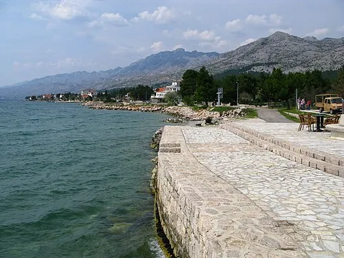 Starigrad City, Municipality of Starigrad5 km S
-
Seline Village, Municipality of Starigrad7.8 km SE
-
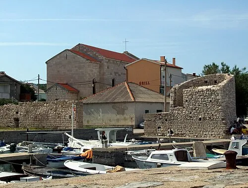 Ražanac City, Municipality of Ražanac9.5 km SW
-
Tribanj Village, Municipality of Starigrad9.3 km W
-
Slivnica Village, Municipality of Posedarje11 km S
-
Rtina Village, Municipality of Ražanac12 km SW
Nearby attractions & nature
Everything nearby-
Otočić Mišjak Island, Zadar County20 km W
-
Zrmanja River, Croatia19 km SE
-
Pag Bridge Landmark, Croatia14 km W
More nature in Croatia
-
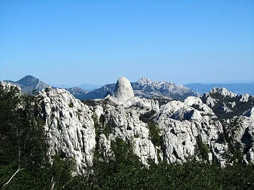 Velebit Mountain, Croatia27 km NW
-
Gaženica Natural site, Croatia31 km SW
-
Sveti Ivan Mountain, Zadar County27 km W
-
Progon Mountain, Lika-Senj County32 km N
-
Omsica Mountain, Zadar County39 km E
-
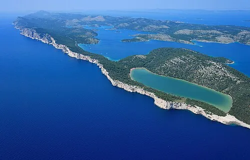 Telašćica Nature Park Natural site, Croatia54 km S
Sources & licences
Data last updated: · 2 independent sources