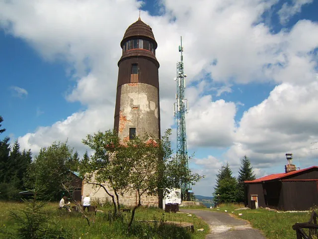
- Elevation
- 1,043 m
- above sea level
- Local time
- UTC+01:00
- Europe/Prague · UTC+01:00
- Airports
- KLV Karlovy Vary Airport24 km
- DRS Dresden Airport107 km
About Blatenský vrch
Blatenský vrch is a mountain. Location: Potůčky, Okres Karlovy Vary. Elevation: 1,043 m.
The Blatenský vrch (German: Plattenberg) is a mountain in the Ore Mountains in the Czech Republic. It has an elevation of 1,043 m (3,422 ft). It is located near the town of Horní Blatná, however, it lies in the municipal territory of Potůčky.
Source: Wikipedia · CC BY-SA 4.0
Photos of Blatenský vrch
-

Lubor Ferenc · CC BY-SA 4.0 -

PeterBraun74 · CC BY-SA 3.0 -
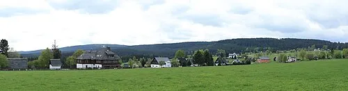
Scheffelsberg Devilsanddust · CC BY-SA 3.0 -
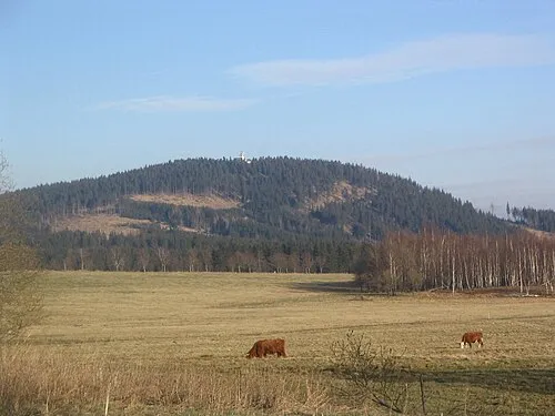
Plešivec Jan Němec · Public domain


Climate of Blatenský vrch
Best months for sightseeingBest months for sightseeing: July–August.
This month · November
A cold month
Day 2° · Night -3° · Rain 69 mm
- Hottest month
- July (day 17°)
- Coldest month
- February (night -7°)
- Wettest month
- July (107 mm)
- Driest month
- February (57 mm)
Bars: average monthly low and high temperature. Below: precipitation. Monthly averages for 1970–2000 at about 18 km resolution, adjusted for elevation. Highlighted months are mild and relatively dry. Source: WorldClim 2.1 (CC BY 4.0).
Show values as a table
| Month | Jan | Feb | Mar | Apr | May | Jun | Jul | Aug | Sep | Oct | Nov | Dec |
|---|---|---|---|---|---|---|---|---|---|---|---|---|
| Average high (°C) | -2° | -1° | 2° | 7° | 13° | 15° | 17° | 17° | 13° | 8° | 2° | -1° |
| Average low (°C) | -7° | -7° | -4° | -1° | 3° | 6° | 8° | 8° | 5° | 1° | -3° | -5° |
| Precipitation (mm) | 63 | 57 | 66 | 59 | 72 | 94 | 107 | 96 | 73 | 65 | 69 | 76 |
How to get to Blatenský vrch
The nearest airport is Karlovy Vary Airport (KLV), 24 km to the southeast as the crow flies. The nearest large city is Chemnitz, 50 km to the north.
Airports
- Karlovy Vary Airport (KLV) Karlovy Vary 24 kmsoutheast
- Dresden Airport (DRS) Dresden 107 kmnortheast
- Václav Havel Airport Prague (PRG) Prague 110 kmeast
Nearby large cities
- Chemnitz Population: 247.2K 50 kmnorth
- Gera Population: 104.7K 73 kmnorthwest
- Dresden Population: 564.9K 99 kmnortheast
- Jena Population: 104.7K 103 kmnorthwest
- Leipzig Population: 505K 108 kmnorth
Straight-line distances; road distances are longer. Airport data: OurAirports.
Day trips from Blatenský vrch
Within 100 km: 293 historic and cultural sites, 2,111 natural sites, 488 lakes, rivers and coasts.
0–25 km239 places
- Stoličná Mountain 23 kmE
- Pláň Mountain 11 kmSW
- Talsperre Weiterswiese Lake 14 kmW
- Waldsee Lake 20 kmW
25–60 km781 places
- Svatý Prokop Landmark 46 kmSE
- Wüster Teich Lake 49 kmW
- Sachswitzer Stausee Lake 50 kmNW
- Talsperre Pöhl Lake 44 kmW
60–100 km1,872 places
- Erzgebirge Mountain 92 kmNE
- Český Les Mountain 84 kmS
- Sprotte River 65 kmNW
- Roda River 99 kmNW
Straight-line distances.
Nearest towns and villages
-
Horní Blatná Village, Horní Blatná1.3 km SW
-
 Bludná Village, Pernink2.2 km E
-
 Háje Village, Potůčky1.8 km NE
-
Johanngeorgenstadt Village, Erzgebirgskreis5.1 km NW
-
Pernink Village, Pernink3.8 km S
-
Potůčky Village, Potůčky4.5 km NW
Nearby attractions & nature
Everything nearby-
Scheffelsberg Mountain, Nové Hamry6.2 km W
-
Plešivec Mountain, Abertamy6.4 km SE
-
Scheffelsberg Mountain, Johanngeorgenstadt6.2 km W
-
Rabenberg Mountain, Breitenbrunn/Erzgeb.6.2 km N
-
Hirschsprung Mountain, Breitenbrunn/Erzgeb.7.3 km N
-
Fastenberg Mountain, Breitenbrunn/Erzgeb.8.6 km NW
-
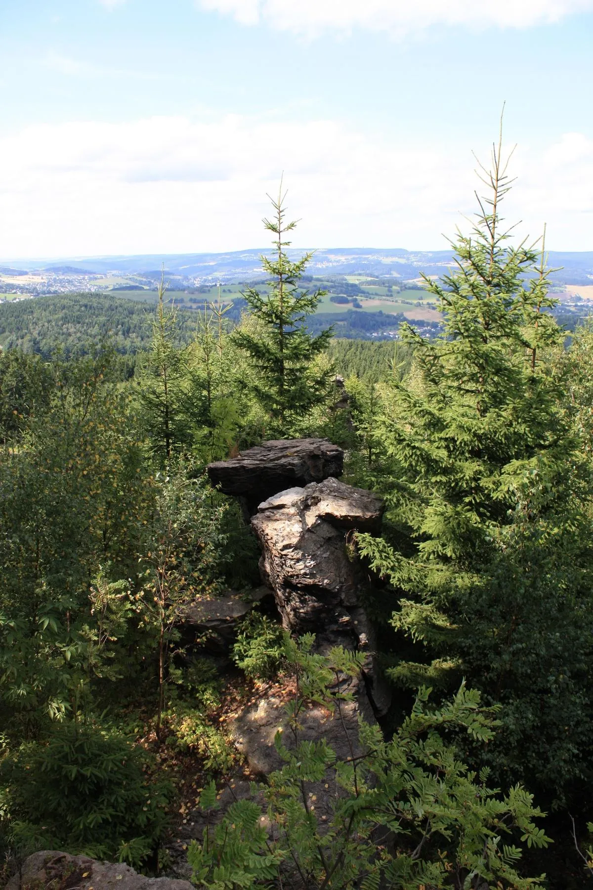 Ochsenkopf Mountain, Breitenbrunn/Erzgeb.9.3 km N
-
Kaffenberg Mountain, Breitenbrunn/Erzgeb.8.2 km NE
Sources & licences
Data last updated: · 2 independent sources