- Population
- 3,567
- 3.6K
- Elevation
- 691 m
- above sea level
- Local time
- UTC+01:00
- Europe/Berlin · UTC+01:00
- Places inside
- 9
- listed under Johanngeorgenstadt
- Airports
- KLV Karlovy Vary Airport29 km
- DRS Dresden Airport107 km
About Johanngeorgenstadt
Johanngeorgenstadt is a village. Location: Erzgebirgskreis, Saxony. Population: 3,567. Elevation: 691 m.
Johanngeorgenstadt (German pronunciation: [ˌjoːhan.ɡeˈɔʁgŋ.ʃtat] , lit. 'John George Town') is a mining town in Saxony’s Ore Mountains, 17 km south of Aue, and 27 km northwest of Karlovy Vary. It lies in the district of Erzgebirgskreis, on the border with the Czech Republic, is a state-recognized health resort (Erholungsort), and calls itself Stadt des Schwibbogens (“Schwibbogen Town”).
Source: Wikipedia · CC BY-SA 4.0
Photos of Johanngeorgenstadt
-
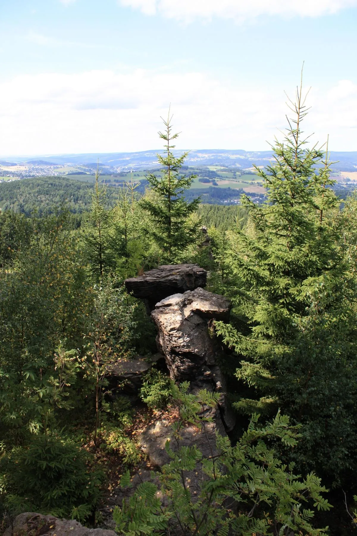
Ochsenkopf Devilsanddust · CC BY 3.0 -
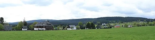
Scheffelsberg Devilsanddust · CC BY-SA 3.0 -
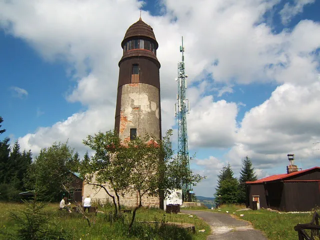
Blatenský vrch SehLax · CC BY-SA 3.0


Population of Johanngeorgenstadt over time
| 2015 | 4,135 | |
|---|---|---|
| 2017 | 3,991 | |
| 2019 | 3,973 | |
| 2021 | 3,758 | |
| 2022 | 3,783 | |
| 2023 | 3,749 | |
| 2024 | 3,567 | |
| 2025 | 3,471 |
Censuses and official estimates; source: Wikidata.
Climate of Johanngeorgenstadt
Best months for sightseeingBest months for sightseeing: June–August.
This month · November
A cold month
Day 4° · Night 0° · Rain 69 mm
- Hottest month
- July (day 20°)
- Coldest month
- February (night -5°)
- Wettest month
- July (107 mm)
- Driest month
- February (57 mm)
Bars: average monthly low and high temperature. Below: precipitation. Monthly averages for 1970–2000 at about 18 km resolution, adjusted for elevation. Highlighted months are mild and relatively dry. Source: WorldClim 2.1 (CC BY 4.0).
Show values as a table
| Month | Jan | Feb | Mar | Apr | May | Jun | Jul | Aug | Sep | Oct | Nov | Dec |
|---|---|---|---|---|---|---|---|---|---|---|---|---|
| Average high (°C) | 0° | 1° | 4° | 9° | 15° | 18° | 20° | 19° | 15° | 10° | 4° | 1° |
| Average low (°C) | -4° | -5° | -2° | 1° | 6° | 9° | 10° | 10° | 7° | 4° | 0° | -3° |
| Precipitation (mm) | 63 | 57 | 66 | 59 | 72 | 94 | 107 | 96 | 73 | 65 | 69 | 76 |
How to get to Johanngeorgenstadt
The nearest airport is Karlovy Vary Airport (KLV), 29 km to the southeast as the crow flies. The nearest large city is Chemnitz, 47 km to the north.
Airports
- Karlovy Vary Airport (KLV) Karlovy Vary 29 kmsoutheast
- Dresden Airport (DRS) Dresden 107 kmnortheast
- Václav Havel Airport Prague (PRG) Prague 115 kmeast
Nearby large cities
- Chemnitz Population: 247.2K 47 kmnorth
- Gera Population: 104.7K 68 kmnorthwest
- Jena Population: 104.7K 98 kmnorthwest
- Dresden Population: 564.9K 99 kmnortheast
- Leipzig Population: 505K 104 kmnorth
Straight-line distances; road distances are longer. Airport data: OurAirports.
Day trips from Johanngeorgenstadt
Within 100 km: 311 historic and cultural sites, 2,198 natural sites, 507 lakes, rivers and coasts.
0–25 km281 places
- Pláň Mountain 11 kmSW
- Talsperre Weiterswiese Lake 11 kmW
- Waldsee Lake 16 kmW
- Muldenberger Talsperre Lake 24 kmW
25–60 km766 places
- Stoličná Mountain 27 kmE
- Svatý Prokop Landmark 51 kmSE
- Wüster Teich Lake 45 kmW
- Schwanensee Lake 58 kmW
60–100 km1,969 places
- Erzgebirge Mountain 92 kmNE
- Český Les Mountain 87 kmS
- Sprotte River 60 kmN
- Roda River 94 kmNW
Straight-line distances.
Places in Johanngeorgenstadt
9 placesBar: population relative to the most populous place in this list.
Cities & villages5
- Jugel · Village
- Neuoberhaus · Village
- Sauschwemme · Village
- Schimmel · Village
- Steinbach · Village
Mountains & nature2
- Buchschachtel-Berg · Mountain
- Scheffelsberg · Mountain
Heritage & sights1
- Johanngeorgenstadt Concentration Camp · Historic site
Nearby attractions & nature
Everything nearby-
Rabenberg Mountain, Breitenbrunn/Erzgeb.2.6 km NE
-
Fastenberg Mountain, Breitenbrunn/Erzgeb.3.7 km N
-
Scheffelsberg Mountain, Nové Hamry4.4 km SW
-
Blatenský vrch Mountain, Potůčky5.1 km SE
-
Forst Johanngeorgenstadt Natural site, Saxony4 km NW
-
Kammer-Stein Mountain, Breitenbrunn/Erzgeb.5.3 km N
Other cities and towns in Erzgebirgskreis
-
Halbemeile Village, Breitenbrunn/Erzgeb.5.2 km E
-
Steinheidel Village, Breitenbrunn/Erzgeb.5.2 km N
-
Sosa Village, Eibenstock9.4 km NW
-
Fällbach Village, Breitenbrunn/Erzgeb.6.1 km N
-
 Oberwildenthal Village, Eibenstock6.3 km W
-
Antonshöhe Village, Breitenbrunn/Erzgeb.7.2 km N
Sources & licences
Data last updated: · 2 independent sources