- Population
- 429
- 429
- Elevation
- 300 m
- above sea level
- Local time
- UTC+01:00
- Europe/Prague · UTC+01:00
- Airports
- PRG Václav Havel Airport Prague73 km
- DRS Dresden Airport81 km
About Kamenice
Kamenice is a village. Location: Zákupy, Česká Lípa District. Population: 429. Elevation: 300 m. The best months to visit are June–August. The nearest airport is Václav Havel Airport Prague (73 km). Nearby sights include Strážný [Pertoltice pod Ralskem] and Ortel.
At a glance
- Area
- 3.8 km²
Source: Wikidata
Photos of Kamenice
-
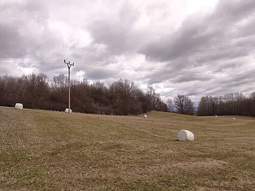
Strážný [Pertoltice pod Ralskem] Resy · CC BY-SA 4.0 -
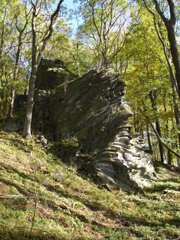
Slaviček R.D. -- Rolf-Dresden · CC BY 2.5 -
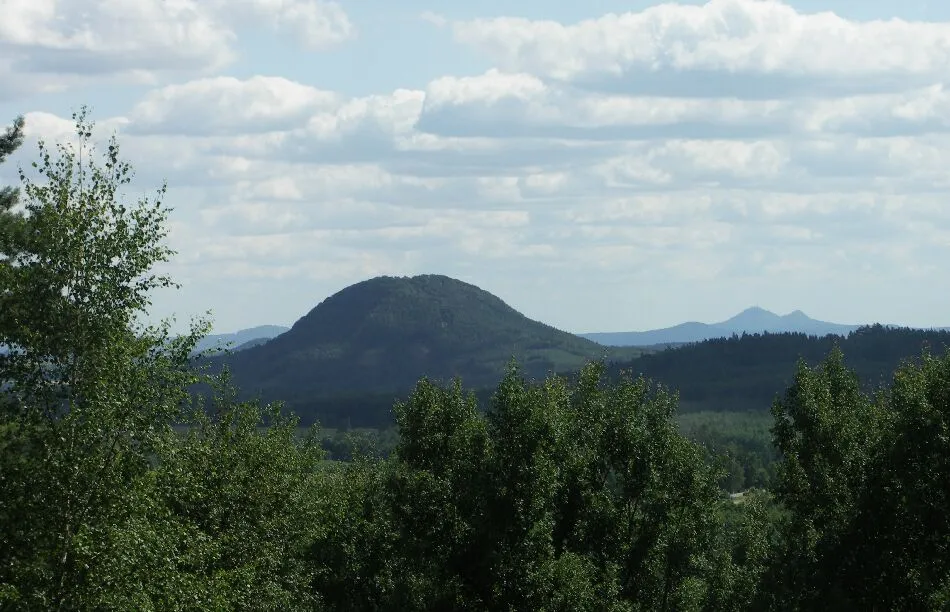
Ortel Trendy64 · CC BY-SA 3.0


Population of Kamenice over time
| 1900 | 361 | |
|---|---|---|
| 1910 | 325 | |
| 1921 | 328 | |
| 1930 | 353 | |
| 1950 | 192 | |
| 1961 | 212 | |
| 1970 | 178 | |
| 1980 | 167 | |
| 1991 | 154 | |
| 2001 | 162 | |
| 2011 | 167 | |
| 2021 | 159 |
Censuses and official estimates; source: Wikidata.
Climate of Kamenice
Best months for sightseeingBest months for sightseeing: June–August.
This month · November
A cold month
Day 6° · Night 1° · Rain 47 mm
- Hottest month
- August (day 23°)
- Coldest month
- January (night -3°)
- Wettest month
- July (100 mm)
- Driest month
- February (35 mm)
Bars: average monthly low and high temperature. Below: precipitation. Monthly averages for 1970–2000 at about 18 km resolution, adjusted for elevation. Highlighted months are mild and relatively dry. Source: WorldClim 2.1 (CC BY 4.0).
Show values as a table
| Month | Jan | Feb | Mar | Apr | May | Jun | Jul | Aug | Sep | Oct | Nov | Dec |
|---|---|---|---|---|---|---|---|---|---|---|---|---|
| Average high (°C) | 1° | 3° | 7° | 12° | 18° | 21° | 23° | 23° | 18° | 13° | 6° | 3° |
| Average low (°C) | -3° | -3° | 0° | 3° | 8° | 11° | 12° | 12° | 9° | 5° | 1° | -2° |
| Precipitation (mm) | 40 | 35 | 44 | 37 | 80 | 75 | 100 | 94 | 54 | 48 | 47 | 45 |
How to get to Kamenice
The nearest airport is Václav Havel Airport Prague (PRG), 73 km to the southwest as the crow flies. The nearest large city is Prague, 70 km to the south.
Airports
- Václav Havel Airport Prague (PRG) Prague 73 kmsouthwest
- Dresden Airport (DRS) Dresden 81 kmnorthwest
- Pardubice Airport (PED) Pardubice 107 kmsoutheast
Nearby large cities
- Prague Population: 1.2M 70 kmsouth
- Dresden Population: 564.9K 77 kmnorthwest
- Chemnitz Population: 247.2K 125 kmwest
- Leipzig Population: 505K 177 kmnorthwest
- Gera Population: 104.7K 185 kmwest
Straight-line distances; road distances are longer. Airport data: OurAirports.
Day trips from Kamenice
Within 100 km: 181 historic and cultural sites, 1,245 natural sites, 171 lakes, rivers and coasts.
0–25 km97 places
- Lysá Mountain 19 kmSE
- Zigeunerberg Mountain 18 kmN
- Töpfer Mountain 18 kmN
- Straßberg Mountain 17 kmNE
25–60 km538 places
- Pirna-Sonnenstein Mountain 59 kmNW
- Tvarožník Mountain 60 kmE
- Hořidla Mountain 34 kmSW
- Vosí vrch Mountain 29 kmNW
60–100 km962 places
- Erzgebirge Mountain 65 kmW
- Jastrzębiec Mountain 61 kmE
- Bielec Mountain 89 kmE
- Buschteich Lake 82 kmN
Straight-line distances.
Nearby attractions & nature
Everything nearby-
Strážný [Pertoltice pod Ralskem] Mountain, Pertoltice pod Ralskem3.2 km SE
-
Ortel Mountain, Cvikov7 km NW
-
Slaviček Mountain, Sloup v Čechách6.9 km NW
-
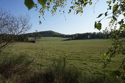 Strážný vrch Mountain, Radvanec9 km NW
-
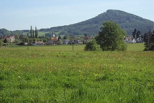 Zelený vrch Mountain, Cvikov10 km N
-
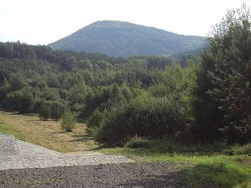 Jezevči vrch Mountain, Mařenice11 km N
Sources & licences
Data last updated: · 2 independent sources