- Elevation
- 599 m
- above sea level
- Local time
- UTC+01:00
- Europe/Prague · UTC+01:00
- Airports
- OSR Leoš Janáček Airport Ostrava58 km
- BRQ Brno-Tuřany Airport89 km
About Jeseníky
Jeseníky is a mountain. Location: Moravian-Silesian Region, Czechia. Elevation: 599 m. The best months to visit are June–August. The nearest airport is Leoš Janáček Airport Ostrava (58 km). Nearby sights include Tri Lípy and Kamenná.
Climate of Jeseníky
Best months for sightseeingBest months for sightseeing: June–August.
This month · November
A cold month
Day 4° · Night -2° · Rain 40 mm
- Hottest month
- July (day 21°)
- Coldest month
- January (night -7°)
- Wettest month
- June (89 mm)
- Driest month
- February (26 mm)
Bars: average monthly low and high temperature. Below: precipitation. Monthly averages for 1970–2000 at about 18 km resolution, adjusted for elevation. Highlighted months are mild and relatively dry. Source: WorldClim 2.1 (CC BY 4.0).
Show values as a table
| Month | Jan | Feb | Mar | Apr | May | Jun | Jul | Aug | Sep | Oct | Nov | Dec |
|---|---|---|---|---|---|---|---|---|---|---|---|---|
| Average high (°C) | -1° | 1° | 5° | 11° | 17° | 19° | 21° | 21° | 16° | 11° | 4° | 0° |
| Average low (°C) | -7° | -6° | -3° | 1° | 6° | 9° | 10° | 10° | 7° | 3° | -2° | -5° |
| Precipitation (mm) | 27 | 26 | 29 | 39 | 67 | 89 | 84 | 76 | 54 | 39 | 40 | 35 |
How to get to Jeseníky
The nearest airport is Leoš Janáček Airport Ostrava (OSR), 58 km to the east as the crow flies. The nearest large city is Brno, 88 km to the southwest.
Airports
- Leoš Janáček Airport Ostrava (OSR) Mošnov 58 kmeast
- Brno-Tuřany Airport (BRQ) Brno 89 kmsouthwest
- Pardubice Airport (PED) Pardubice 116 kmwest
Nearby large cities
- Brno Population: 404.3K 88 kmsouthwest
- Prague Population: 1.2M 211 kmwest
- Győr Population: 129.3K 240 kmsouth
- Linz Population: 204.8K 280 kmsouthwest
- Dresden Population: 564.9K 289 kmnorthwest
Straight-line distances; road distances are longer. Airport data: OurAirports.
Nearest towns and villages
Nearby attractions & nature
Everything nearby-
Tri Lípy Mountain, Moravian-Silesian Region2.2 km E
-
Kamenná Mountain, Moravian-Silesian Region2.8 km NE
-
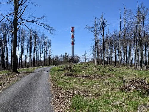 Slunečná Mountain, Dětřichov nad Bystřicí7 km E
-
Kamenec [Lomnice u Rýmařova] Mountain, Lomnice9.2 km NE
-
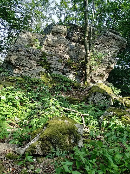 Špičák Mountain, Horní Město14 km NW
-
Dvorský Kopec Mountain, Šumvald13 km W
-
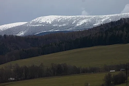 Břidličná hora Mountain, Vernířovice25 km NW
-
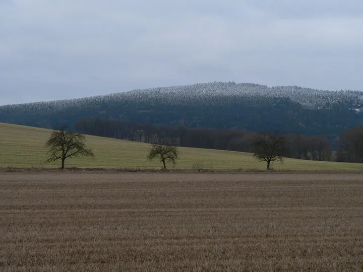 Bradlo Mountain, Nová Hradečná20 km W
More nature in Czechia
-
Moravická hora Mountain, Dolní Moravice15 km N
-
Stráž Mountain, Dvorce15 km E
-
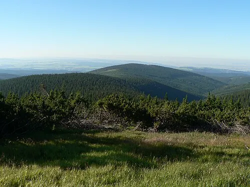 Ostružná Mountain, Stará Ves21 km NW
-
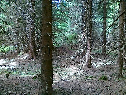 Soukenná Mountain, Stará Ves21 km N
-
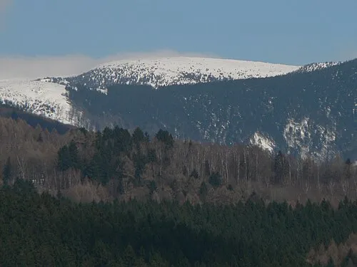 Vysoká hole Mountain, Malá Morávka26 km N
-
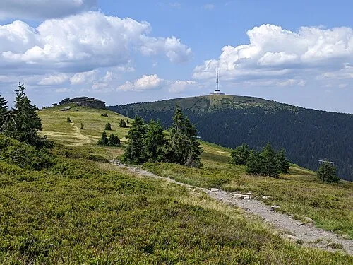 Praděd Mountain, Malá Morávka29 km N
Sources & licences
Data last updated: · 2 independent sources