Ženklava
Located in Nový Jičín District, Moravian-Silesian Region Coordinates: 49°33′51″ N 18°06′37″ E
- Elevation
- 333 m
- above sea level
- Local time
- UTC+01:00
- Europe/Prague · UTC+01:00
- Places inside
- 2
- listed under Ženklava
- Airports
- OSR Leoš Janáček Airport Ostrava15 km
- BRQ Brno-Tuřany Airport113 km
About Ženklava
Ženklava is a municipality. Location: Nový Jičín District, Moravian-Silesian Region. Elevation: 333 m. The best months to visit are June–August. The nearest airport is Leoš Janáček Airport Ostrava (15 km). Nearby sights include Červený kámen [Lichnov u Nového Jičína] and Huštýn.
Photos of Ženklava
-
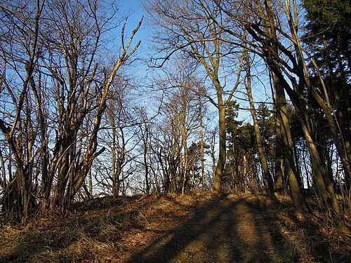
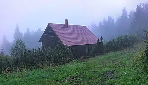
Huštýn Radim Holiš · CC BY-SA 3.0 cz -
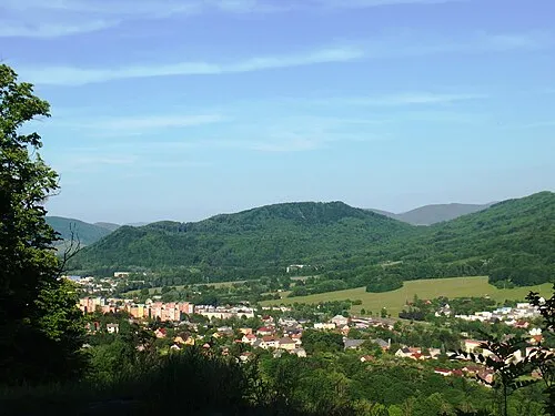
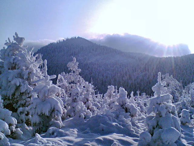
Červený kámen [Lichnov u Nového Jičína] Palickap · CC BY-SA 4.0


Climate of Ženklava
Best months for sightseeingBest months for sightseeing: June–August.
This month · November
A cold month
Day 6° · Night 0° · Rain 51 mm
- Hottest month
- July (day 23°)
- Coldest month
- January (night -5°)
- Wettest month
- June (106 mm)
- Driest month
- January (32 mm)
Bars: average monthly low and high temperature. Below: precipitation. Monthly averages for 1970–2000 at about 18 km resolution, adjusted for elevation. Highlighted months are mild and relatively dry. Source: WorldClim 2.1 (CC BY 4.0).
Show values as a table
| Month | Jan | Feb | Mar | Apr | May | Jun | Jul | Aug | Sep | Oct | Nov | Dec |
|---|---|---|---|---|---|---|---|---|---|---|---|---|
| Average high (°C) | 1° | 3° | 7° | 13° | 18° | 21° | 23° | 23° | 18° | 13° | 6° | 2° |
| Average low (°C) | -5° | -4° | -1° | 3° | 7° | 10° | 12° | 12° | 8° | 5° | 0° | -3° |
| Precipitation (mm) | 32 | 34 | 36 | 53 | 85 | 106 | 97 | 93 | 68 | 47 | 51 | 44 |
How to get to Ženklava
The nearest airport is Leoš Janáček Airport Ostrava (OSR), 15 km to the north as the crow flies. The nearest large city is Brno, 117 km to the west.
Airports
- Leoš Janáček Airport Ostrava (OSR) Mošnov 15 kmnorth
- Brno-Tuřany Airport (BRQ) Brno 113 kmsouthwest
- Katowice Wojciech Korfanty International Airport (KTW) Katowice 123 kmnortheast
Nearby large cities
- Brno Population: 404.3K 117 kmwest
- Bratislava Population: 423.7K 174 kmsouthwest
- Győr Population: 129.3K 212 kmsouth
- Košice Population: 225K 248 kmeast
- Miskolc Population: 154.5K 254 kmsoutheast
Straight-line distances; road distances are longer. Airport data: OurAirports.
Day trips from Ženklava
Within 100 km: 30 historic and cultural sites, 363 natural sites, 6 lakes, rivers and coasts.
0–25 km36 places
- Velká Stolová Mountain 15 kmSE
- Smrk Mountain 20 kmE
- Smrček Mountain 19 kmE
- Radhošť Mountain 12 kmSE
25–60 km97 places
- Korňa River 40 kmSE
- Gírová Mountain 50 kmE
- Strčí Hlava Mountain 41 kmS
- Křížový Mountain 27 kmSW
60–100 km266 places
- Veľký Kriváň Mountain 79 kmSE
- Tlstá Mountain 94 kmSE
- Strážov Mountain 72 kmS
- Ostrý Vrch Mountain 95 kmSE
Straight-line distances.
Places in Ženklava
2 placesBar: population relative to the most populous place in this list.
Mountains & nature1
- Hlásnice · Mountain
Nearby attractions & nature
Everything nearby-
Červený kámen [Lichnov u Nového Jičína] Mountain, Lichnov3.6 km E
-
Huštýn Mountain, Zašová6.1 km SW
-
Kyčera Mountain, Rožnov pod Radhoštěm8 km SE
-
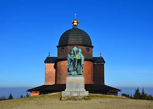 Radhošť Mountain, Moravian-Silesian Region12 km SE
-
Starojický kopec Mountain, Starý Jičín11 km W
-
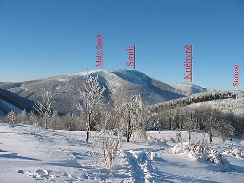 Smrk Mountain, Staré Hamry20 km E
-
 Velká Stolová Mountain, Čeladná15 km SE
-
 Kněhyně Mountain, Čeladná17 km SE
Sources & licences
Data last updated: