Český Těšín
Located in Okres Karviná, Moravian-Silesian Region Coordinates: 49°44′13″ N 18°35′00″ E
- Elevation
- 306 m
- above sea level
- Local time
- UTC+01:00
- Europe/Prague · UTC+01:00
- Places inside
- 4
- listed under Český Těšín
- Airports
- OSR Leoš Janáček Airport Ostrava34 km
- KTW Katowice Wojciech Korfanty International Airport90 km
About Český Těšín
Český Těšín is a municipality. Location: Okres Karviná, Moravian-Silesian Region. Elevation: 306 m. The best months to visit are June–August. The nearest airport is Leoš Janáček Airport Ostrava (34 km). Nearby sights include Golleschau Concentration Camp and Ostrý.
Climate of Český Těšín
Best months for sightseeingBest months for sightseeing: June–August.
This month · November
A cold month
Day 7° · Night 0° · Rain 51 mm
- Hottest month
- July (day 24°)
- Coldest month
- January (night -5°)
- Wettest month
- June (102 mm)
- Driest month
- February (35 mm)
Bars: average monthly low and high temperature. Below: precipitation. Monthly averages for 1970–2000 at about 18 km resolution, adjusted for elevation. Highlighted months are mild and relatively dry. Source: WorldClim 2.1 (CC BY 4.0).
Show values as a table
| Month | Jan | Feb | Mar | Apr | May | Jun | Jul | Aug | Sep | Oct | Nov | Dec |
|---|---|---|---|---|---|---|---|---|---|---|---|---|
| Average high (°C) | 1° | 3° | 8° | 13° | 19° | 22° | 24° | 23° | 18° | 13° | 7° | 3° |
| Average low (°C) | -5° | -4° | -1° | 3° | 7° | 11° | 12° | 12° | 8° | 4° | 0° | -3° |
| Precipitation (mm) | 36 | 35 | 40 | 57 | 84 | 102 | 102 | 93 | 70 | 51 | 51 | 46 |
How to get to Český Těšín
The nearest airport is Leoš Janáček Airport Ostrava (OSR), 34 km to the west as the crow flies. The nearest large city is Brno, 155 km to the west.
Airports
- Leoš Janáček Airport Ostrava (OSR) Mošnov 34 kmwest
- Katowice Wojciech Korfanty International Airport (KTW) Katowice 90 kmnortheast
- Kraków John Paul II International Airport (KRK) Balice 94 kmnortheast
Nearby large cities
- Brno Population: 404.3K 155 kmwest
- Bratislava Population: 423.7K 207 kmsouthwest
- Košice Population: 225K 226 kmsoutheast
- Győr Population: 129.3K 239 kmsouth
- Miskolc Population: 154.5K 243 kmsoutheast
Straight-line distances; road distances are longer. Airport data: OurAirports.
Day trips from Český Těšín
Within 100 km: 50 historic and cultural sites, 282 natural sites, 6 lakes, rivers and coasts.
0–25 km38 places
- Bucze Mountain 20 kmE
- Soszów Wielki Mountain 20 kmSE
- Równica Mountain 20 kmE
- Orłowa Mountain 22 kmE
25–60 km150 places
- Korňa River 36 kmS
- Gírová Mountain 28 kmSE
- Bugaj Mountain 49 kmSE
- Beskid Żywiecki Mountain 48 kmSE
60–100 km150 places
- Veľký Kriváň Mountain 69 kmSE
- Tlstá Mountain 94 kmS
- Strážov Mountain 87 kmS
- Rakytov Mountain 97 kmSE
Straight-line distances.
Places in Český Těšín
4 placesČeský Těšín
Population: 25.8K

Mosty
Population: 1.3K

Zpupná Lhota
Population: 642

Stanislavice
Population: 567
Nearby attractions & nature
Everything nearby-
Golleschau Concentration Camp Historic site, Gmina Goleszów11 km E
-
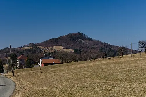 Ostrý Mountain, Nýdek14 km SE
-
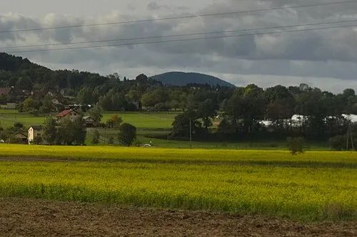 Gora Chełm Mountain, Gmina Goleszów11 km E
-
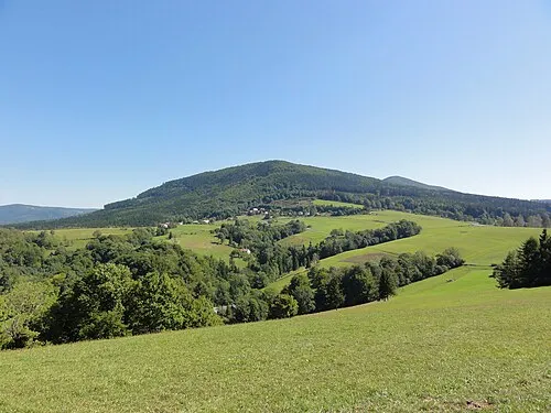 Czantoria Mała Mountain, Ustroń15 km E
-
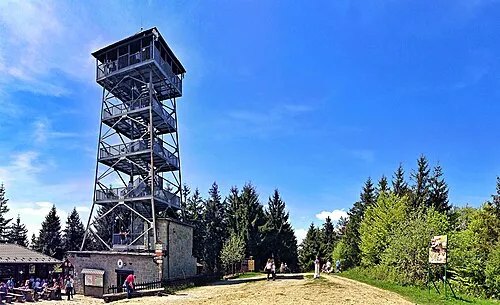 Czantoria Wielka Mountain, Wisła17 km E
-
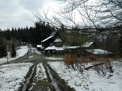 Ropička Mountain, Morávka14 km S
-
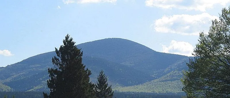 Ostrý Mountain, Košařiska16 km S
-
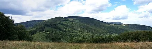 Kozubová Mountain, Dolní Lomná20 km S
Sources & licences
Data last updated: