
- Population
- 567
- 567
- Elevation
- 291 m
- above sea level
- Local time
- UTC+01:00
- Europe/Prague · UTC+01:00
- Airports
- OSR Leoš Janáček Airport Ostrava32 km
- KTW Katowice Wojciech Korfanty International Airport89 km
About Stanislavice
Stanislavice is a village. Location: Český Těšín, Okres Karviná. Population: 567. Elevation: 291 m.
(Polish: , German: Stanislowitz, Stänzelsdorf) is a village in Karviná District, Moravian-Silesian Region, Czech Republic. It was a separate municipality but became administratively a part of Český Těšín in 1975. It has a population of 545 (2005). The name is patronymic in origin derived from personal name Stanislaus.
Source: Wikipedia · CC BY-SA 4.0
At a glance
- Area
- 4 km²
Source: Wikidata
Photos of Stanislavice
-

Fry72 · CC BY-SA 4.0 -

D T G · CC BY-SA 3.0 -

geo573 · CC BY 3.0 -

Blboundodo · CC BY-SA 3.0 -

Blboundodo · CC BY-SA 3.0


Population of Stanislavice over time
| 1900 | 381 | |
|---|---|---|
| 1910 | 420 | |
| 1921 | 456 | |
| 1930 | 487 | |
| 1950 | 427 | |
| 1961 | 494 | |
| 1970 | 532 | |
| 1980 | 497 | |
| 1991 | 476 | |
| 2001 | 517 | |
| 2011 | 567 | |
| 2021 | 562 |
Censuses and official estimates; source: Wikidata.
Climate of Stanislavice
Best months for sightseeingBest months for sightseeing: June–September.
This month · November
A cold month
Day 7° · Night 0° · Rain 51 mm
- Hottest month
- July (day 24°)
- Coldest month
- January (night -5°)
- Wettest month
- June (102 mm)
- Driest month
- February (35 mm)
Bars: average monthly low and high temperature. Below: precipitation. Monthly averages for 1970–2000 at about 18 km resolution, adjusted for elevation. Highlighted months are mild and relatively dry. Source: WorldClim 2.1 (CC BY 4.0).
Show values as a table
| Month | Jan | Feb | Mar | Apr | May | Jun | Jul | Aug | Sep | Oct | Nov | Dec |
|---|---|---|---|---|---|---|---|---|---|---|---|---|
| Average high (°C) | 1° | 3° | 8° | 13° | 19° | 22° | 24° | 23° | 19° | 14° | 7° | 3° |
| Average low (°C) | -5° | -4° | -1° | 3° | 8° | 11° | 12° | 12° | 9° | 5° | 0° | -3° |
| Precipitation (mm) | 36 | 35 | 40 | 57 | 84 | 102 | 102 | 93 | 70 | 51 | 51 | 46 |
Other places to visit in this season: June July August September
How to get to Stanislavice
The nearest airport is Leoš Janáček Airport Ostrava (OSR), 32 km to the west as the crow flies. The nearest large city is Brno, 154 km to the southwest.
Airports
- Leoš Janáček Airport Ostrava (OSR) Mošnov 32 kmwest
- Katowice Wojciech Korfanty International Airport (KTW) Katowice 89 kmnortheast
- Kraków John Paul II International Airport (KRK) Balice 96 kmeast
Nearby large cities
- Brno Population: 404.3K 154 kmsouthwest
- Bratislava Population: 423.7K 208 kmsouthwest
- Košice Population: 225K 229 kmsoutheast
- Győr Population: 129.3K 240 kmsouth
- Miskolc Population: 154.5K 246 kmsoutheast
Straight-line distances; road distances are longer. Airport data: OurAirports.
Day trips from Stanislavice
Within 100 km: 49 historic and cultural sites, 286 natural sites, 5 lakes, rivers and coasts.
0–25 km30 places
- Bucze Mountain 22 kmE
- Soszów Wielki Mountain 24 kmSE
- Równica Mountain 23 kmE
- Górka Wislicka Mountain 18 kmNE
25–60 km150 places
- Korňa River 38 kmS
- Gírová Mountain 31 kmSE
- Bugaj Mountain 53 kmSE
- Beskid Żywiecki Mountain 52 kmSE
60–100 km160 places
- Veľký Kriváň Mountain 73 kmSE
- Tlstá Mountain 97 kmS
- Strážov Mountain 90 kmS
- Rakytov Mountain 100 kmSE
Straight-line distances.
Nearby attractions & nature
Everything nearby-
Golleschau Concentration Camp Historic site, Gmina Goleszów14 km E
-
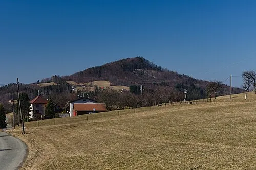 Ostrý Mountain, Nýdek17 km SE
-
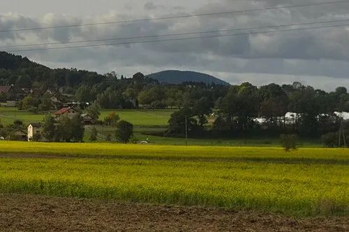 Gora Chełm Mountain, Gmina Goleszów14 km E
-
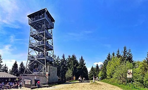 Czantoria Wielka Mountain, Wisła21 km SE
-
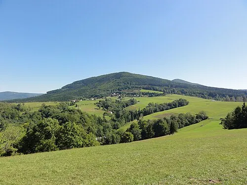 Czantoria Mała Mountain, Ustroń18 km SE
-
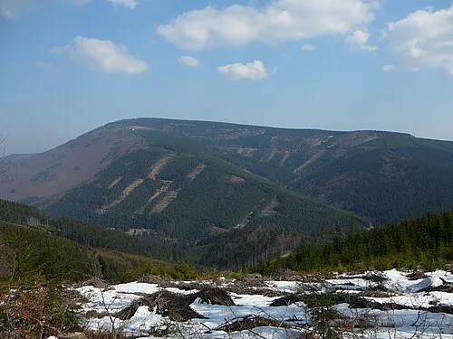 Travný Mountain, Morávka22 km S
Sources & licences
Data last updated: · 2 independent sources