Mlýnice
Located in Červená Voda, Ústí nad Orlicí District Coordinates: 50°00′46″ N 16°44′39″ E

- Population
- 28
- 28
- Elevation
- 493 m
- above sea level
- Local time
- UTC+01:00
- Europe/Prague · UTC+01:00
- Airports
- PED Pardubice Airport72 km
- BRQ Brno-Tuřany Airport96 km
About Mlýnice
Mlýnice is a village. Location: Červená Voda, Ústí nad Orlicí District. Population: 28. Elevation: 493 m. The best months to visit are June–August. The nearest airport is Pardubice Airport (72 km). Nearby sights include Mährisch Weißwasser Concentration Camp and Buková hora.
At a glance
- Area
- 1.3 km²
Source: Wikidata
Photos of Mlýnice
-

Palickap · CC BY-SA 4.0 -
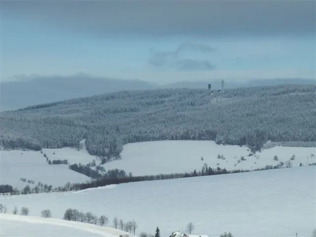
Suchý vrch Railfort · Public domain -
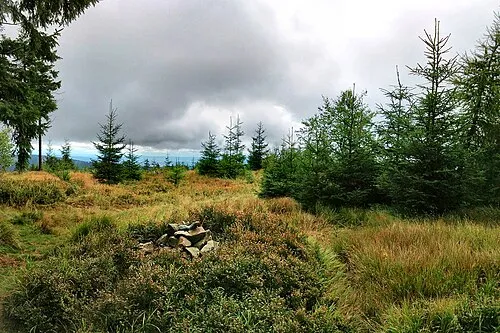
Jeřáb Maoman · Public domain


Population of Mlýnice over time
| 1900 | 139 | |
|---|---|---|
| 1910 | 125 | |
| 1921 | 106 | |
| 1930 | 120 | |
| 1950 | 59 | |
| 1961 | 68 | |
| 1970 | 63 | |
| 1980 | 39 | |
| 1991 | 31 | |
| 2001 | 28 | |
| 2011 | 28 | |
| 2021 | 18 |
Censuses and official estimates; source: Wikidata.
Climate of Mlýnice
Best months for sightseeingBest months for sightseeing: June–August.
This month · November
A cold month
Day 5° · Night 0° · Rain 42 mm
- Hottest month
- July (day 21°)
- Coldest month
- January (night -5°)
- Wettest month
- June (98 mm)
- Driest month
- February (29 mm)
Bars: average monthly low and high temperature. Below: precipitation. Monthly averages for 1970–2000 at about 18 km resolution, adjusted for elevation. Highlighted months are mild and relatively dry. Source: WorldClim 2.1 (CC BY 4.0).
Show values as a table
| Month | Jan | Feb | Mar | Apr | May | Jun | Jul | Aug | Sep | Oct | Nov | Dec |
|---|---|---|---|---|---|---|---|---|---|---|---|---|
| Average high (°C) | 0° | 2° | 6° | 11° | 17° | 20° | 21° | 21° | 17° | 11° | 5° | 1° |
| Average low (°C) | -5° | -5° | -2° | 2° | 6° | 9° | 11° | 11° | 8° | 4° | 0° | -3° |
| Precipitation (mm) | 31 | 29 | 34 | 42 | 68 | 98 | 92 | 84 | 56 | 42 | 42 | 39 |
How to get to Mlýnice
The nearest airport is Pardubice Airport (PED), 72 km to the west as the crow flies. The nearest large city is Brno, 91 km to the south.
Airports
- Pardubice Airport (PED) Pardubice 72 kmwest
- Brno-Tuřany Airport (BRQ) Brno 96 kmsouth
- Leoš Janáček Airport Ostrava (OSR) Mošnov 104 kmeast
Nearby large cities
- Brno Population: 404.3K 91 kmsouth
- Prague Population: 1.2M 167 kmwest
- Bratislava Population: 423.7K 209 kmsouth
- Dresden Population: 564.9K 242 kmnorthwest
- Linz Population: 204.8K 261 kmsouthwest
Straight-line distances; road distances are longer. Airport data: OurAirports.
Day trips from Mlýnice
Within 100 km: 40 historic and cultural sites, 563 natural sites.
0–25 km58 places
- Goworek Mountain 20 kmN
- Mały Śnieżnik Mountain 21 kmN
- Stroma Mountain 25 kmN
- Smrekowiec Mountain 25 kmN
25–60 km260 places
- Sucha Kopa Mountain 30 kmNE
- Úsobrnka Natural site 48 kmS
- Ptak Mountain 58 kmNW
- Kłobuk Mountain 40 kmNW
60–100 km285 places
- Czuba Mountain 94 kmNW
- Włodarz Mountain 80 kmN
- Wielka Sowa Mountain 76 kmN
- Góry Wałbrzyskie Mountain 97 kmNW
Straight-line distances.
Nearby attractions & nature
Everything nearby-
Mährisch Weißwasser Concentration Camp Historic site, Červená Voda1 km NE
-
Buková hora Mountain, Čenkovice2.6 km W
-
Suchý vrch Mountain, Orličky5.6 km NW
-
Jeřáb Mountain, Olomouc Region7 km NE
-
Pustina [Horní Studénky] outlook p. Mountain, Horní Studénky6.4 km SE
-
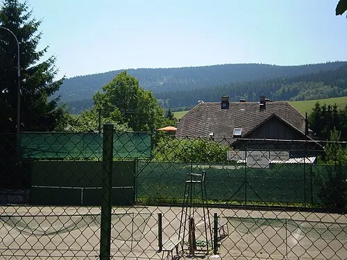 Bouda Mountain, Těchonín8 km NW
Other cities and towns in Červená Voda
-
 Horní Orlice Village, Červená Voda5.6 km N
-
 Dolní Orlice Village, Červená Voda5.7 km N
Sources & licences
Data last updated: · 2 independent sources