Jamné nad Orlicí
Located in Ústí nad Orlicí District, Pardubice Region Coordinates: 50°02′30″ N 16°38′30″ E
- Elevation
- 667 m
- above sea level
- Local time
- UTC+01:00
- Europe/Prague · UTC+01:00
- Places inside
- 1
- listed under Jamné nad Orlicí
- Airports
- PED Pardubice Airport65 km
- BRQ Brno-Tuřany Airport99 km
About Jamné nad Orlicí
Jamné nad Orlicí is a municipality. Location: Ústí nad Orlicí District, Pardubice Region. Elevation: 667 m. The best months to visit are June–August. The nearest airport is Pardubice Airport (65 km). Nearby sights include Suchý vrch and Vysoký Kámen.
Photos of Jamné nad Orlicí
-
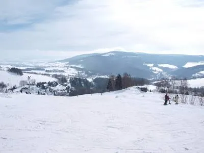
Vysoký Kámen Railfort · Public domain -
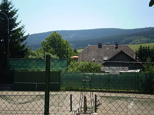
Bouda Railfort · Public domain -
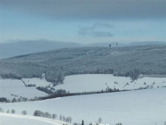
Suchý vrch Railfort · Public domain -
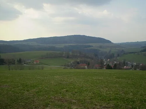
Studený Railfort · Public domain


Climate of Jamné nad Orlicí
Best months for sightseeingBest months for sightseeing: June–August.
This month · November
A cold month
Day 3° · Night -2° · Rain 39 mm
- Hottest month
- August (day 21°)
- Coldest month
- January (night -6°)
- Wettest month
- June (93 mm)
- Driest month
- February (26 mm)
Bars: average monthly low and high temperature. Below: precipitation. Monthly averages for 1970–2000 at about 18 km resolution, adjusted for elevation. Highlighted months are mild and relatively dry. Source: WorldClim 2.1 (CC BY 4.0).
Show values as a table
| Month | Jan | Feb | Mar | Apr | May | Jun | Jul | Aug | Sep | Oct | Nov | Dec |
|---|---|---|---|---|---|---|---|---|---|---|---|---|
| Average high (°C) | -1° | 0° | 5° | 10° | 16° | 19° | 20° | 21° | 16° | 10° | 3° | 0° |
| Average low (°C) | -6° | -6° | -3° | 0° | 5° | 8° | 10° | 9° | 6° | 3° | -2° | -5° |
| Precipitation (mm) | 27 | 26 | 32 | 39 | 65 | 93 | 90 | 77 | 51 | 39 | 39 | 34 |
How to get to Jamné nad Orlicí
The nearest airport is Pardubice Airport (PED), 65 km to the west as the crow flies. The nearest large city is Brno, 94 km to the south.
Airports
- Pardubice Airport (PED) Pardubice 65 kmwest
- Brno-Tuřany Airport (BRQ) Brno 99 kmsouth
- Leoš Janáček Airport Ostrava (OSR) Mošnov 112 kmeast
Nearby large cities
- Brno Population: 404.3K 94 kmsouth
- Prague Population: 1.2M 159 kmwest
- Bratislava Population: 423.7K 213 kmsouth
- Dresden Population: 564.9K 234 kmnorthwest
- Linz Population: 204.8K 258 kmsouthwest
Straight-line distances; road distances are longer. Airport data: OurAirports.
Day trips from Jamné nad Orlicí
Within 100 km: 43 historic and cultural sites, 593 natural sites.
0–25 km52 places
- Goworek Mountain 20 kmNE
- Mały Śnieżnik Mountain 21 kmNE
- Smrekowiec Mountain 24 kmNE
- Jagodna Mountain 24 kmN
25–60 km262 places
- Sucha Kopa Mountain 31 kmNE
- Úsobrnka Natural site 53 kmS
- Ptak Mountain 51 kmNW
- Kłobuk Mountain 34 kmN
60–100 km322 places
- Hořánck Mountain 99 kmW
- Czuba Mountain 87 kmNW
- Włodarz Mountain 75 kmN
- Wielka Sowa Mountain 72 kmN
Straight-line distances.
Places in Jamné nad Orlicí
1 placeBar: population relative to the most populous place in this list.
Nearby attractions & nature
Everything nearby-
Suchý vrch Mountain, Orličky3.8 km E
-
Vysoký Kámen Mountain, Mladkov4.3 km N
-
Bouda Mountain, Těchonín4.3 km NE
-
Studený Mountain, Studené5.2 km NW
-
Buková hora Mountain, Čenkovice6 km SE
-
Mährisch Weißwasser Concentration Camp Historic site, Červená Voda8.1 km E
-
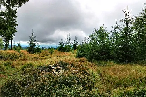 Jeřáb Mountain, Olomouc Region12 km E
-
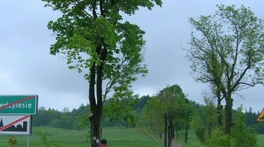 Sikornik Mountain, Gmina Międzylesie11 km N
Sources & licences
Data last updated: