Libice nad Doubravou
Located in Havlíčkův Brod District, Vysocina Coordinates: 49°45′06″ N 15°43′56″ E
- Elevation
- 487 m
- above sea level
- Local time
- UTC+01:00
- Europe/Prague · UTC+01:00
- Places inside
- 4
- listed under Libice nad Doubravou
- Airports
- PED Pardubice Airport29 km
- BRQ Brno-Tuřany Airport97 km
About Libice nad Doubravou
Libice nad Doubravou is a municipality. Location: Havlíčkův Brod District, Vysocina. Elevation: 487 m. The best months to visit are June–August. The nearest airport is Pardubice Airport (29 km). Nearby sights include Friedlerův kopec and Strážný vrch.
Climate of Libice nad Doubravou
Best months for sightseeingBest months for sightseeing: June–August.
This month · November
A cold month
Day 5° · Night 0° · Rain 37 mm
- Hottest month
- August (day 22°)
- Coldest month
- January (night -5°)
- Wettest month
- June (82 mm)
- Driest month
- January (25 mm)
Bars: average monthly low and high temperature. Below: precipitation. Monthly averages for 1970–2000 at about 18 km resolution, adjusted for elevation. Highlighted months are mild and relatively dry. Source: WorldClim 2.1 (CC BY 4.0).
Show values as a table
| Month | Jan | Feb | Mar | Apr | May | Jun | Jul | Aug | Sep | Oct | Nov | Dec |
|---|---|---|---|---|---|---|---|---|---|---|---|---|
| Average high (°C) | 1° | 2° | 6° | 12° | 17° | 20° | 22° | 22° | 17° | 12° | 5° | 1° |
| Average low (°C) | -5° | -4° | -1° | 2° | 7° | 10° | 11° | 11° | 8° | 4° | 0° | -3° |
| Precipitation (mm) | 25 | 25 | 32 | 39 | 62 | 82 | 81 | 68 | 45 | 34 | 37 | 32 |
How to get to Libice nad Doubravou
The nearest airport is Pardubice Airport (PED), 29 km to the north as the crow flies. The nearest large city is Brno, 89 km to the southeast.
Airports
- Pardubice Airport (PED) Pardubice 29 kmnorth
- Brno-Tuřany Airport (BRQ) Brno 97 kmsoutheast
- Václav Havel Airport Prague (PRG) Prague 113 kmwest
Nearby large cities
- Brno Population: 404.3K 89 kmsoutheast
- Prague Population: 1.2M 101 kmwest
- Linz Population: 204.8K 192 kmsouthwest
- Dresden Population: 564.9K 202 kmnorthwest
- Chemnitz Population: 247.2K 233 kmnorthwest
Straight-line distances; road distances are longer. Airport data: OurAirports.
Day trips from Libice nad Doubravou
Within 100 km: 21 historic and cultural sites, 707 natural sites, 27 lakes, rivers and coasts.
0–25 km6 places
- Bučina Mountain 15 kmN
- Strážný vrch Mountain 11 kmW
- Friedlerův kopec Mountain 8 kmS
- Vysoká Mountain 22 kmS
25–60 km196 places
- Královský vršek Mountain 39 kmS
- Hořánck Mountain 48 kmNW
- Zahořanský Kopec Mountain 39 kmNE
- Vršík [Pošná] outlook p. Mountain 59 kmSW
60–100 km553 places
- Dunkelkopf Mountain 99 kmS
- Galgenberg Mountain 98 kmS
- Steinberg Mountain 91 kmS
- Steinäckerhübel Mountain 92 kmS
Straight-line distances.
Places in Libice nad Doubravou
4 placesBar: population relative to the most populous place in this list.
Nearby attractions & nature
Everything nearby-
Friedlerův kopec Mountain, Chotěboř7.9 km S
-
Strážný vrch Mountain, Uhelná Příbram11 km W
-
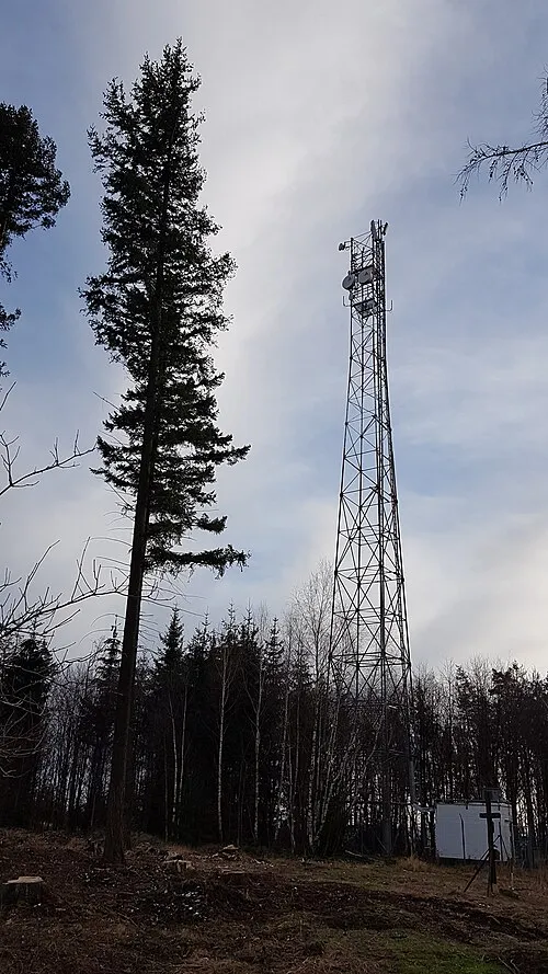 Bučina Mountain, Třemošnice15 km N
-
Pořežínský kopec Mountain, Velká Losenice19 km S
-
Černá skála Mountain, Hošťalovice24 km NW
-
Vysoká Mountain, Vysoká22 km S
Sources & licences
Data last updated: