Bois de Cournil
Located in Cantal, Auvergne-Rhône-Alpes Coordinates: 45°15′00″ N 2°37′00″ E
- Elevation
- 1,089 m
- above sea level
- Local time
- UTC+01:00
- Europe/Paris · UTC+01:00
- Airports
- AUR Aurillac airport43 km
- CFE Clermont-Ferrand Auvergne airport74 km
About Bois de Cournil
Bois de Cournil is a natural site. Location: Cantal, Auvergne-Rhône-Alpes. The best months to visit are July–August. The nearest airport is Aurillac airport (43 km). Nearby sights include Suc de Rochemonteix and Suc de Gramont.
Climate of Bois de Cournil
Best months for sightseeingBest months for sightseeing: July–August.
This month · November
A cold month
Day 7° · Night 0° · Rain 79 mm
- Hottest month
- July (day 21°)
- Coldest month
- January (night -4°)
- Wettest month
- May (99 mm)
- Driest month
- March (59 mm)
Bars: average monthly low and high temperature. Below: precipitation. Monthly averages for 1970–2000 at about 18 km resolution, adjusted for elevation. Highlighted months are mild and relatively dry. Source: WorldClim 2.1 (CC BY 4.0).
Show values as a table
| Month | Jan | Feb | Mar | Apr | May | Jun | Jul | Aug | Sep | Oct | Nov | Dec |
|---|---|---|---|---|---|---|---|---|---|---|---|---|
| Average high (°C) | 4° | 5° | 8° | 10° | 14° | 18° | 21° | 21° | 17° | 13° | 7° | 4° |
| Average low (°C) | -4° | -3° | -1° | 0° | 4° | 7° | 10° | 9° | 7° | 4° | 0° | -3° |
| Precipitation (mm) | 74 | 66 | 59 | 74 | 99 | 84 | 62 | 76 | 83 | 94 | 79 | 76 |
How to get to Bois de Cournil
The nearest airport is Aurillac airport (AUR), 43 km to the south as the crow flies. For international flights: Clermont-Ferrand Auvergne airport (CFE) (74 km). The nearest large city is Clermont-Ferrand, 69 km to the northeast.
Airports
- Aurillac airport (AUR) Aurillac 43 kmsouth
- Clermont-Ferrand Auvergne airport (CFE) Clermont-Ferrand 74 kmnortheast
- Brive Souillac airport (BVE) Brive 92 kmwest
Nearby large cities
- Clermont-Ferrand Population: 147.9K 69 kmnortheast
- Limoges Population: 141.2K 125 kmnorthwest
- Saint-Etienne Population: 176.3K 140 kmeast
- Lyon Population: 520.8K 183 kmeast
- Villeurbanne Population: 131.4K 186 kmeast
Straight-line distances; road distances are longer. Airport data: OurAirports.
Day trips from Bois de Cournil
Within 100 km: 160 historic and cultural sites, 432 natural sites, 225 lakes, rivers and coasts.
0–25 km89 places
- Lac de Madic Lake 18 kmNW
- Lac de la Landie Lake 22 kmNE
- Lac de l'Esclauze Lake 20 kmNE
- Lac de la Cregut Lake 18 kmN
25–60 km320 places
- Ancien îlot Gambetta Island 38 kmS
- Étang de Taysse Lake 55 kmW
- Lac de Servière Lake 48 kmNE
- Étang de Ruffaud Lake 59 kmW
60–100 km408 places
- Vassivière Island 85 kmNW
- Étang de Tix Lake 67 kmN
- Lac de Tazenat Lake 86 kmN
- Étang de la Ramade Lake 61 kmN
Straight-line distances.
Nearest towns and villages
-
Valette Village, Arrondissement of Mauriac2.2 km NW
-
Valette Village, Valette2.2 km NW
-
Collandres Village, Arrondissement of Mauriac3.6 km SE
-
Riom-ès-Montagnes Village, Arrondissement of Mauriac4.9 km NE
-
Collandres Village, Collandres3.6 km SE
-
Riom-ès-Montagnes Village, Riom-ès-Montagnes4.9 km NE
Nearby attractions & nature
Everything nearby-
Suc de Rochemonteix Mountain, Saint-Hippolyte7.2 km SE
-
Suc de Gramont Mountain, Saint-Vincent-de-Salers6.5 km SW
-
Suc de Rond Mountain, Le Falgoux8.5 km S
-
Église Saint-Martin Attraction, Collandres3.6 km SE
-
Suc Gros Mountain, Le Claux12 km S
-
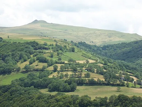 Puy Violent Mountain, Le Fau14 km S
-
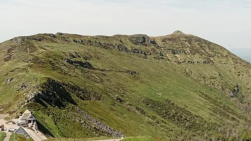 Puy de la Tourte Mountain, Le Claux15 km S
-
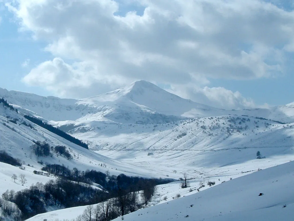 Puy Mary Mountain, Le Falgoux16 km S
More nature in France
-
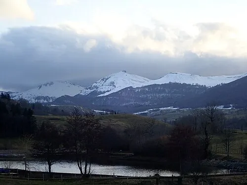 Suc de la Blatte Mountain, Le Claux13 km S
-
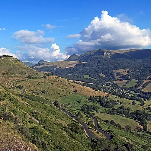 Roc des Ombres Mountain, Le Fau14 km S
-
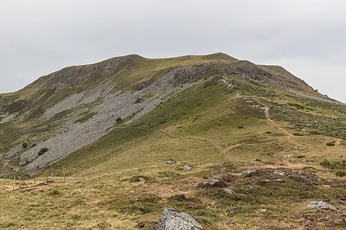 Puy de Niermont Mountain, Le Claux15 km SE
-
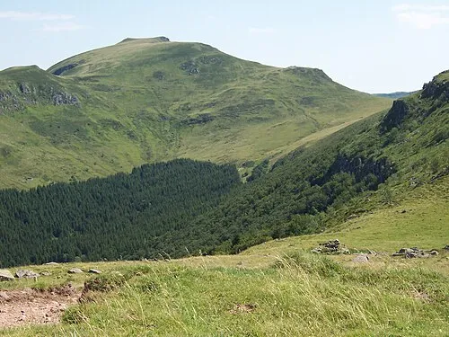 Puy Chavaroche Mountain, Saint-Projet-de-Salers17 km S
-
Rocher de l'Aygue Mountain, Le Falgoux11 km S
-
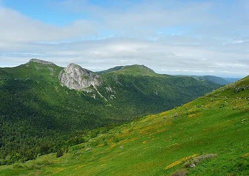 Roche Taillade Mountain, Le Falgoux16 km S
Sources & licences
Data last updated: