Forêt de Murat
Located in Cantal, Auvergne-Rhône-Alpes Coordinates: 45°04′34″ N 2°48′47″ E
- Elevation
- 1,137 m
- above sea level
- Local time
- UTC+01:00
- Europe/Paris · UTC+01:00
- Airports
- AUR Aurillac airport37 km
- RDZ Rodez–Aveyron Airport79 km
About Forêt de Murat
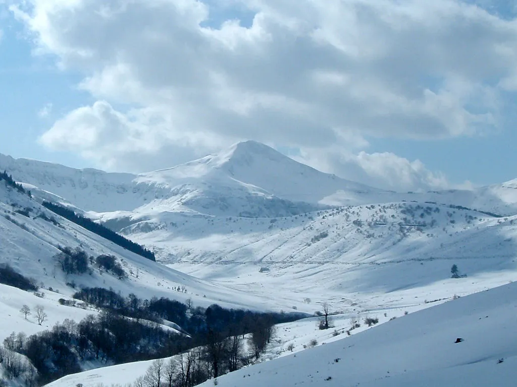
Forêt de Murat is a natural site. Location: Cantal, Auvergne-Rhône-Alpes. The best months to visit are July–August. The nearest airport is Aurillac airport (37 km). Nearby sights include Puy de Prat de Bouc and Rocher de la Sagne du Porc.
Photos of Forêt de Murat
-
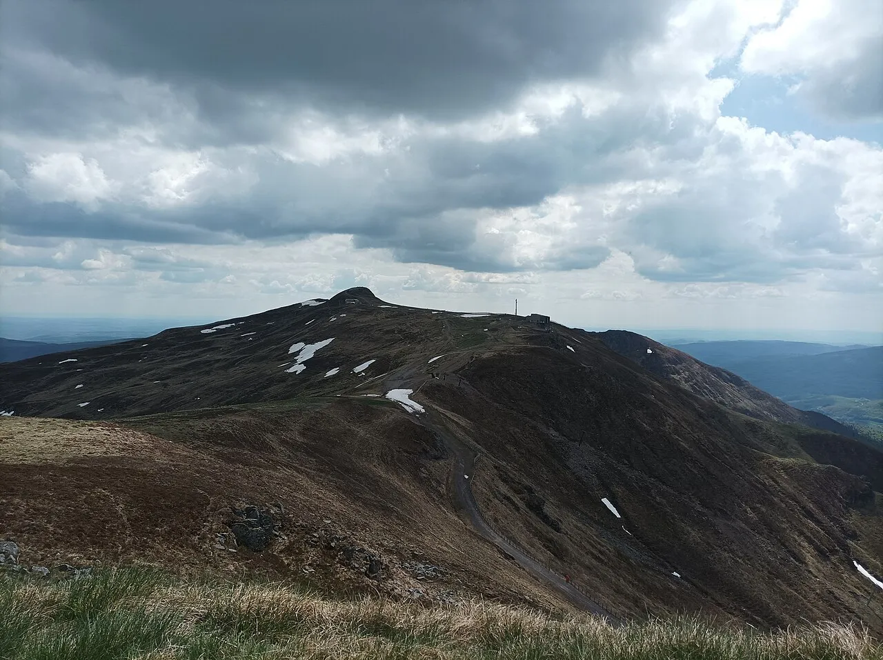
Plomb du Cantal Nouill · CC BY-SA 4.0 -
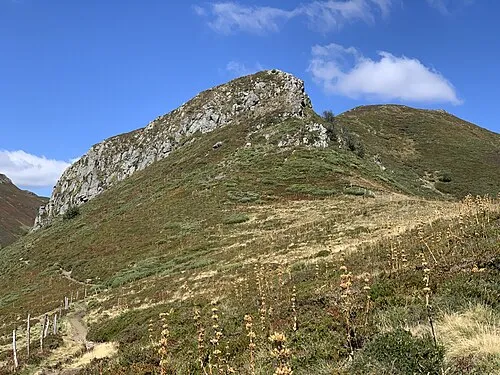
Puy Bataillouse Marie-Lan Taÿ Pamart · CC BY 4.0 -
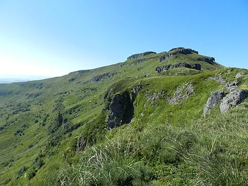
Puy du Rocher Cantalissime · CC BY-SA 3.0 -
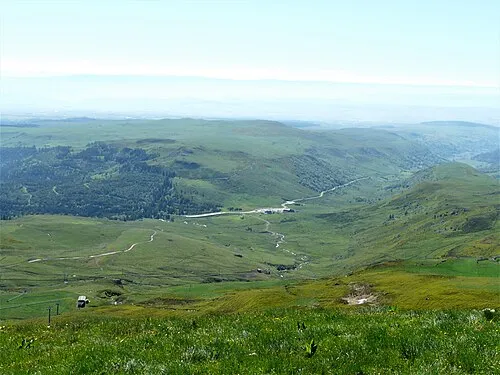
Puy de Prat de Bouc Père Igor · CC BY-SA 4.0 -
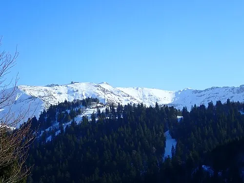
Puy Brunet Jmp48 · CC BY-SA 4.0


Climate of Forêt de Murat
Best months for sightseeingBest months for sightseeing: July–August.
This month · November
A wet month
Day 7° · Night 0° · Rain 100 mm
- Hottest month
- July (day 21°)
- Coldest month
- January (night -3°)
- Wettest month
- October (118 mm)
- Driest month
- July (66 mm)
Bars: average monthly low and high temperature. Below: precipitation. Monthly averages for 1970–2000 at about 18 km resolution, adjusted for elevation. Highlighted months are mild and relatively dry. Source: WorldClim 2.1 (CC BY 4.0).
Show values as a table
| Month | Jan | Feb | Mar | Apr | May | Jun | Jul | Aug | Sep | Oct | Nov | Dec |
|---|---|---|---|---|---|---|---|---|---|---|---|---|
| Average high (°C) | 3° | 4° | 7° | 9° | 14° | 18° | 21° | 21° | 17° | 12° | 7° | 4° |
| Average low (°C) | -3° | -3° | -1° | 1° | 5° | 8° | 10° | 10° | 7° | 5° | 0° | -2° |
| Precipitation (mm) | 97 | 84 | 74 | 91 | 114 | 91 | 66 | 79 | 93 | 118 | 100 | 97 |
How to get to Forêt de Murat
The nearest airport is Aurillac airport (AUR), 37 km to the southwest as the crow flies. For international flights: Clermont-Ferrand Auvergne airport (CFE) (84 km). The nearest large city is Clermont-Ferrand, 81 km to the north.
Airports
- Aurillac airport (AUR) Aurillac 37 kmsouthwest
- Rodez–Aveyron Airport (RDZ) Rodez/Marcillac 79 kmsouth
- Clermont-Ferrand Auvergne airport (CFE) Clermont-Ferrand 84 kmnorth
Nearby large cities
- Clermont-Ferrand Population: 147.9K 81 kmnorth
- Saint-Etienne Population: 176.3K 130 kmeast
- Limoges Population: 141.2K 149 kmnorthwest
- Lyon Population: 520.8K 176 kmnortheast
- Villeurbanne Population: 131.4K 179 kmnortheast
Straight-line distances; road distances are longer. Airport data: OurAirports.
Day trips from Forêt de Murat
Within 100 km: 181 historic and cultural sites, 472 natural sites, 216 lakes, rivers and coasts.
0–25 km98 places
- Puy Griou Mountain 8 kmW
- Puy de la Poche Mountain 12 kmW
- Puy de Peyre arse Mountain 9 kmNW
- Puy Gros Mountain 8 kmSW
25–60 km329 places
- Ancien îlot Gambetta Island 33 kmSW
- Lac Pavin Lake 47 kmN
- Lac de Montcineyre Lake 43 kmN
- Lac de Madic Lake 43 kmNW
60–100 km442 places
- Étang de Tix Lake 89 kmN
- Étang de Taysse Lake 74 kmW
- Lac de Servière Lake 63 kmN
- Étang de Ruffaud Lake 79 kmW
Straight-line distances.
Nearest towns and villages
-
Albepierre-Bredons Village, Arrondissement of Saint-Flour1.5 km E
-
Albepierre-Bredons Village, Albepierre-Bredons1.7 km E
-
La Molède Village, Albepierre-Bredons0.8 km NE
-
Laveissière Village, Arrondissement of Saint-Flour4.5 km N
-
Albepierre Village, Albepierre-Bredons1.5 km E
-
Laveissière Village, Laveissière4.5 km N
Nearby attractions & nature
Everything nearby-
Puy de Prat de Bouc Mountain, Albepierre-Bredons2.6 km S
-
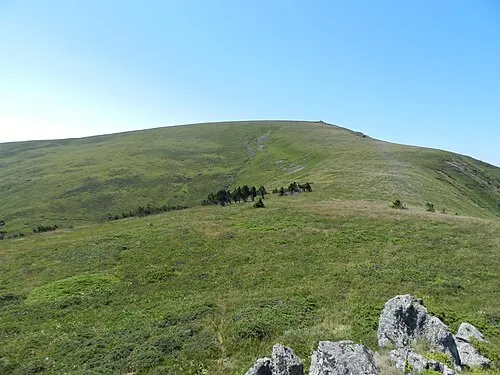 Rocher de la Sagne du Porc Mountain, Albepierre-Bredons3 km W
-
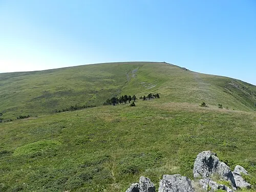 Peyre Ourse Mountain, Laveissière3.1 km NW
-
Puy du Rocher Mountain, Laveissière3.5 km W
-
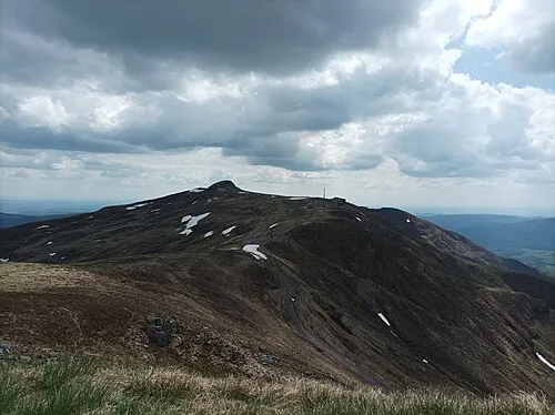 Plomb du Cantal Mountain, Saint-Jacques-des-Blats4.4 km SW
-
Puy de Niermont Mountain, Paulhac3.4 km SE
-
Puy de la Belle-Viste Mountain, Brezons4.7 km S
-
Puy de Grandval Mountain, Brezons4.3 km SW
More nature in France
-
Puy Brunet Mountain, Saint-Jacques-des-Blats5.2 km SW
-
Puy Gerbel Mountain, Brezons4.6 km SW
-
Puy Bataillouse Mountain, Laveissière7.8 km W
-
Puy Tariol Mountain, Brezons6.4 km S
-
 Puy Mary Mountain, Le Falgoux11 km W
-
Puy Masso Mountain, Cézens7.5 km S
Sources & licences
Data last updated: