Diois
Local name: Diés
Located in Drôme, Auvergne-Rhône-Alpes Coordinates: 44°40′00″ N 5°20′00″ E
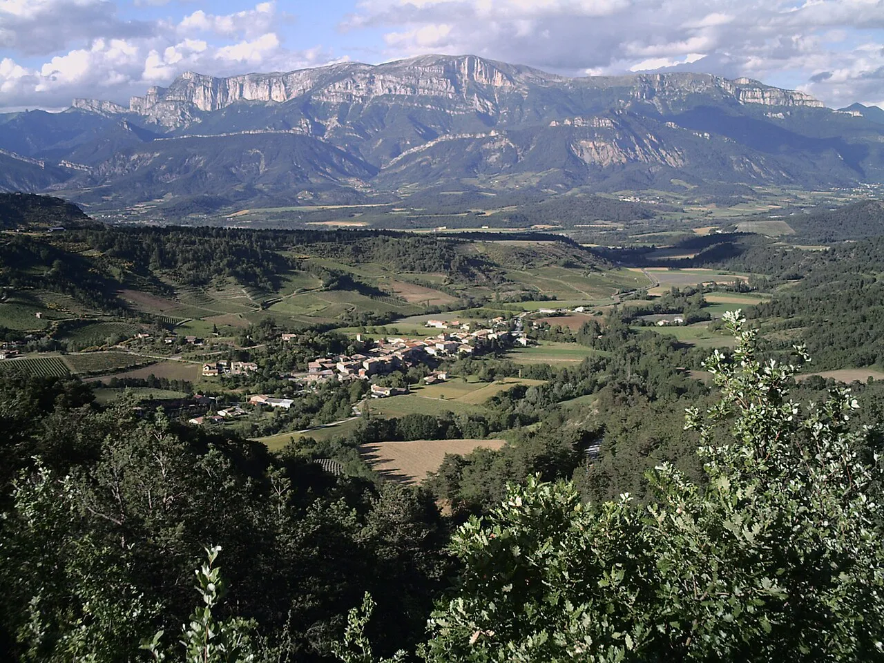
- Elevation
- 1,232 m
- above sea level
- Local time
- UTC+01:00
- Europe/Paris · UTC+01:00
- Airports
- GNB Grenoble Alpes Isère Airport77 km
- AVN Avignon Caumont airport91 km
About Diois
Diois is a mountain. Location: Drôme, Auvergne-Rhône-Alpes. Elevation: 1,232 m. The best months to visit are July–August. The nearest airport is Grenoble Alpes Isère Airport (77 km). Nearby sights include Montagne de Gavet and Montagne de Faraud.
Climate of Diois
Best months for sightseeingBest months for sightseeing: July–August.
This month · November
A cold month
Day 6° · Night -2° · Rain 99 mm
- Hottest month
- July (day 22°)
- Coldest month
- January (night -6°)
- Wettest month
- October (115 mm)
- Driest month
- July (52 mm)
Bars: average monthly low and high temperature. Below: precipitation. Monthly averages for 1970–2000 at about 18 km resolution, adjusted for elevation. Highlighted months are mild and relatively dry. Source: WorldClim 2.1 (CC BY 4.0).
Show values as a table
| Month | Jan | Feb | Mar | Apr | May | Jun | Jul | Aug | Sep | Oct | Nov | Dec |
|---|---|---|---|---|---|---|---|---|---|---|---|---|
| Average high (°C) | 2° | 4° | 7° | 10° | 15° | 19° | 22° | 22° | 17° | 12° | 6° | 3° |
| Average low (°C) | -6° | -5° | -3° | 0° | 4° | 7° | 10° | 9° | 6° | 3° | -2° | -5° |
| Precipitation (mm) | 75 | 63 | 75 | 86 | 99 | 80 | 52 | 69 | 106 | 115 | 99 | 78 |
How to get to Diois
The nearest airport is Grenoble Alpes Isère Airport (GNB), 77 km to the north as the crow flies. The nearest large city is Grenoble, 64 km to the northeast.
Airports
- Grenoble Alpes Isère Airport (GNB) Grenoble 77 kmnorth
- Avignon Caumont airport (AVN) Avignon 91 kmsouth
- Chambéry Aix les Bains airport (CMF) Chambéry 116 kmnorth
Nearby large cities
- Grenoble Population: 158.6K 64 kmnortheast
- Saint-Etienne Population: 176.3K 113 kmnorthwest
- Nîmes Population: 148.2K 121 kmsouthwest
- Lyon Population: 520.8K 126 kmnorth
- Aix-en-Provence Population: 146.8K 127 kmsouth
Straight-line distances; road distances are longer. Airport data: OurAirports.
Nearest towns and villages
-
Rimon-et-Savel Village, Arrondissement de Die2.1 km W
-
Rimon Village, Rimon-et-Savel2 km W
-
Barnave Village, Arrondissement de Die3 km E
-
Barnave Village, Barnave2.9 km E
-
Montmaur-en-Diois Village, Arrondissement de Die3.8 km E
-
Aurel Village, Arrondissement de Die4.2 km NW
Nearby attractions & nature
Everything nearby-
Montagne de Gavet Mountain, Solaure en Diois4.9 km N
-
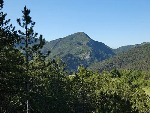 Montagne de Faraud Mountain, Saint-Benoit-en-Diois6.6 km SW
-
Serre de Laoup Mountain, Saint-Benoit-en-Diois7.1 km W
-
La Servelle Mountain, Brette8.7 km S
-
Montagne de la Cervelle Mountain, Volvent8.8 km S
-
Montagne d'Aucelon Mountain, Aucelon7.5 km SE
-
Champ Rabi Mountain, Volvent9.3 km S
-
Rocher de Cresta Mountain, Espenel9.6 km W
More nature in France
-
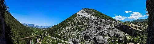 Pic de Luc Mountain, Luc-en-Diois12 km SE
-
Montagne du Cuchet Mountain, Brette9.7 km S
-
Mont de Label Mountain, Châtillon-en-Diois11 km NE
-
Montagne de Bouternard Mountain, Volvent11 km S
-
Montagne de Cerne Mountain, Luc-en-Diois11 km E
-
Montagne de Salles Mountain, Poyols12 km SE
Sources & licences
Data last updated: · 2 independent sources