- Elevation
- 808 m
- above sea level
- Local time
- UTC+01:00
- Europe/Paris · UTC+01:00
- Airports
- GNB Grenoble Alpes Isère Airport56 km
- LYS Lyon Saint-Exupéry Airport57 km
About Ruisseau de Pontin
Ruisseau de Pontin is a river. Location: Loire, Auvergne-Rhône-Alpes. The best months to visit are July–August. The nearest airport is Grenoble Alpes Isère Airport (56 km). Nearby sights include Crêt de la Rivory and La Solière.
Photos of Ruisseau de Pontin
-
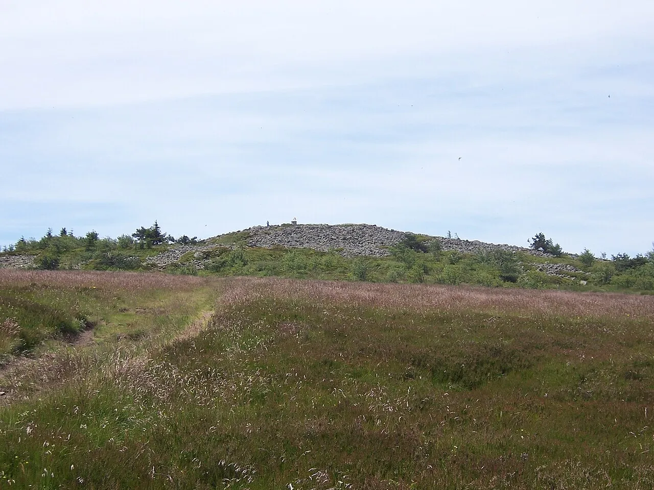
Crêt de la Perdrix wikijoe · Public domain -
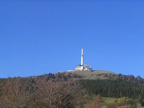
Crêt de l'Œillon Phillllippe · CC BY-SA 3.0 -
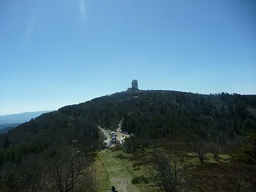
Crêt de Botte Anthospace · CC BY-SA 4.0 -
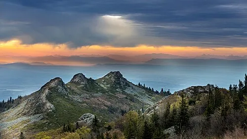
Les Trois Dents Olivier-pilat · CC BY-SA 4.0 -
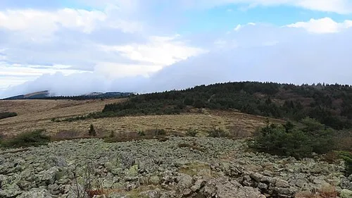
Crêt de l'Arnica Rémih · CC BY-SA 4.0


Climate of Ruisseau de Pontin
Best months for sightseeingBest months for sightseeing: July–August.
This month · November
A cold month
Day 8° · Night 1° · Rain 84 mm
- Hottest month
- July (day 23°)
- Coldest month
- January (night -2°)
- Wettest month
- October (106 mm)
- Driest month
- February (56 mm)
Bars: average monthly low and high temperature. Below: precipitation. Monthly averages for 1970–2000 at about 18 km resolution, adjusted for elevation. Highlighted months are mild and relatively dry. Source: WorldClim 2.1 (CC BY 4.0).
Show values as a table
| Month | Jan | Feb | Mar | Apr | May | Jun | Jul | Aug | Sep | Oct | Nov | Dec |
|---|---|---|---|---|---|---|---|---|---|---|---|---|
| Average high (°C) | 4° | 6° | 9° | 11° | 16° | 20° | 23° | 23° | 19° | 13° | 8° | 5° |
| Average low (°C) | -2° | -1° | 1° | 2° | 7° | 10° | 12° | 12° | 9° | 6° | 1° | -1° |
| Precipitation (mm) | 67 | 56 | 65 | 83 | 101 | 86 | 65 | 77 | 100 | 106 | 84 | 69 |
How to get to Ruisseau de Pontin
The nearest airport is Grenoble Alpes Isère Airport (GNB), 56 km to the east as the crow flies. For international flights: Lyon Saint-Exupéry Airport (LYS) (57 km). The nearest large city is Saint-Etienne, 21 km to the northwest.
Airports
- Grenoble Alpes Isère Airport (GNB) Grenoble 56 kmeast
- Lyon Saint-Exupéry Airport (LYS) Colombier-Saugnieu, Rhône 57 kmnortheast
- Chambéry Aix les Bains airport (CMF) Chambéry 104 kmeast
Nearby large cities
- Saint-Etienne Population: 176.3K 21 kmnorthwest
- Lyon Population: 520.8K 50 kmnorth
- Villeurbanne Population: 131.4K 52 kmnortheast
- Grenoble Population: 158.6K 88 kmeast
- Clermont-Ferrand Population: 147.9K 129 kmnorthwest
Straight-line distances; road distances are longer. Airport data: OurAirports.
Day trips from Ruisseau de Pontin
Within 100 km: 188 historic and cultural sites, 780 natural sites, 245 lakes, rivers and coasts.
0–25 km105 places
- Réservoir de Couzon Lake 19 kmN
- La Chaux de l'Égalet Mountain 8 kmN
- le Bois Paradis Mountain 5 kmNW
- Chantelermuse Mountain 24 kmS
25–60 km342 places
- Parc de la Tête d'Or Natural site 53 kmN
- Mont Plaux Mountain 56 kmSW
- Petit Lac Mountain 54 kmW
- Mont d'Or Mountain 59 kmN
60–100 km766 places
- Alba-la-Romaine (Ardèche, France) -- Théâtre gallo-romain Historic site 86 kmS
- Lac Mort Lake 98 kmE
- Puy Bien Mountain 86 kmNW
- St Alban Plage Beach 96 kmE
Straight-line distances.
Nearest towns and villages
-
Saint-Julien-Molin-Molette Village, Arrondissement of Saint-Étienne1.2 km S
-
Colombier Village, Arrondissement of Saint-Étienne1.3 km W
-
Saint-Julien-Molin-Molette Village, Saint-Julien-Molin-Molette1.3 km S
-
Colombier Village, Colombier1.4 km W
-
Saint-Appolinard Village, Arrondissement of Saint-Étienne2.9 km E
-
Saint-Appolinard Village, Saint-Appolinard3.3 km E
Nearby attractions & nature
Everything nearby-
Crêt de la Rivory Mountain, Saint-Julien-Molin-Molette0.1 km SW
-
La Solière Mountain, Colombier1.3 km N
-
Le Pécoutioux Mountain, Colombier2 km SW
-
Crêt du Pin Mountain, Véranne2.6 km NE
-
Crêt de la Garde Mountain, Colombier2.6 km W
-
Crêt de Mamey Mountain, Colombier2.9 km NW
-
Le Bouchet Mountain, Saint-Appolinard3.4 km NE
-
Ruisseau de Ternay River, Ardèche3 km SE
Sources & licences
Data last updated: