Forêt de Rhonne
Located in Savoy, Auvergne-Rhône-Alpes Coordinates: 45°39′02″ N 6°23′54″ E
- Elevation
- 876 m
- above sea level
- Local time
- UTC+01:00
- Europe/Paris · UTC+01:00
- Airports
- NCY Annecy Meythet airport39 km
- CMF Chambéry Aix les Bains airport40 km
About Forêt de Rhonne
Forêt de Rhonne is a natural site. Location: Savoy, Auvergne-Rhône-Alpes. The best months to visit are June–August. The nearest airport is Annecy Meythet airport (39 km). Nearby sights include Pointe de la Grande Lanche and Mont Cornillon.
Photos of Forêt de Rhonne
-
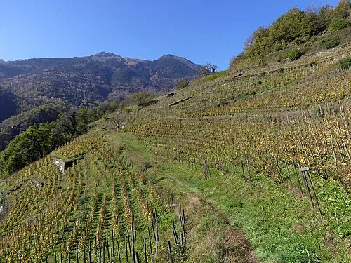
Pointe de la Grande Lanche Florian Pépellin · CC BY-SA 4.0

Climate of Forêt de Rhonne
Best months for sightseeingBest months for sightseeing: June–August.
This month · November
A wet month
Day 8° · Night 1° · Rain 128 mm
- Hottest month
- July (day 24°)
- Coldest month
- January (night -2°)
- Wettest month
- November (128 mm)
- Driest month
- July (81 mm)
Bars: average monthly low and high temperature. Below: precipitation. Monthly averages for 1970–2000 at about 18 km resolution, adjusted for elevation. Highlighted months are mild and relatively dry. Source: WorldClim 2.1 (CC BY 4.0).
Show values as a table
| Month | Jan | Feb | Mar | Apr | May | Jun | Jul | Aug | Sep | Oct | Nov | Dec |
|---|---|---|---|---|---|---|---|---|---|---|---|---|
| Average high (°C) | 5° | 6° | 9° | 11° | 17° | 20° | 24° | 23° | 19° | 14° | 8° | 5° |
| Average low (°C) | -2° | -2° | 0° | 3° | 7° | 10° | 13° | 13° | 10° | 6° | 1° | -1° |
| Precipitation (mm) | 113 | 112 | 95 | 91 | 102 | 101 | 81 | 84 | 96 | 115 | 128 | 125 |
How to get to Forêt de Rhonne
The nearest airport is Annecy Meythet airport (NCY), 39 km to the northwest as the crow flies. For international flights: Geneva International Airport (GVA) (69 km). The nearest large city is Geneva, 64 km to the north.
Airports
- Annecy Meythet airport (NCY) Annecy 39 kmnorthwest
- Chambéry Aix les Bains airport (CMF) Chambéry 40 kmwest
- Geneva International Airport (GVA) Geneva 69 kmnorth
Nearby large cities
- Geneva Population: 201.7K 64 kmnorth
- Grenoble Population: 158.6K 75 kmsouthwest
- Lausanne Population: 139.1K 98 kmnorth
- Villeurbanne Population: 131.4K 119 kmwest
- Lyon Population: 520.8K 121 kmwest
Straight-line distances; road distances are longer. Airport data: OurAirports.
Day trips from Forêt de Rhonne
Within 100 km: 145 historic and cultural sites, 2,312 natural sites, 344 lakes, rivers and coasts.
0–25 km146 places
- Lacs de la Tempête Lake 11 kmE
- Lac de la Girotte Lake 23 kmNE
- Lacs de Forcle Lake 24 kmE
- Lac Noir Lake 22 kmNE
25–60 km861 places
- Lac du Vieux Emosson Lake 60 kmNE
- Lac Vert Lake 58 kmNE
- Le Tour Noir Mountain 60 kmNE
- Pointe Morin Mountain 59 kmNE
60–100 km1,794 places
- Ile de Salagnon Island 95 kmNE
- Lac Mort Lake 84 kmSW
- Lake Leman Lake 88 kmN
- Lac de Fully Lake 80 kmNE
Straight-line distances.
Nearest towns and villages
-
Grignon Village, Arrondissement of Albertville1.8 km W
-
Albertville Village, Arrondissement of Albertville2.9 km N
-
Grignon Village, Grignon1.6 km W
-
Tours-en-Savoie Village, Arrondissement of Albertville3.3 km E
-
Gilly-sur-Isère Village, Arrondissement of Albertville4 km W
-
Albertville Town, Albertville2.7 km N
Nearby attractions & nature
Everything nearby-
Pointe de la Grande Lanche Mountain, Saint-Paul-sur-Isère5.3 km S
-
Mont Cornillon Mountain, Queige7.9 km N
-
Pointe de la Dieuva Mountain, Mercury7.4 km NW
-
La Thuille Mountain, Sainte-Hélène-sur-Isère7.5 km S
-
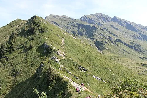 Le Grand Arc Mountain, Saint-Paul-sur-Isère9.7 km S
-
La Belle Étoile Mountain, Mercury7.3 km NW
-
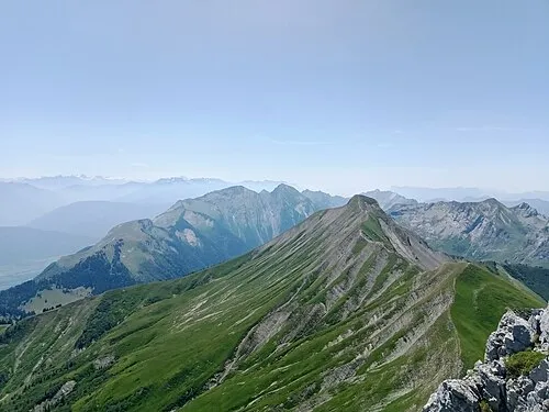 Pointe Chaurionde Mountain, Plancherine12 km W
-
Doron River, Savoy4.8 km N
More nature in France
-
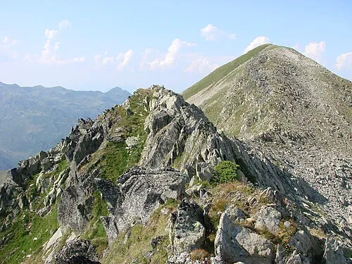 Mont Bellachat Mountain, La Léchère12 km S
-
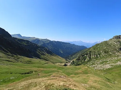 Vallée de la Grande Maison Natural site, Savoy12 km SE
-
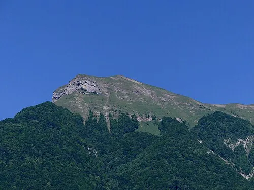 Le Grand Roc Mountain, Cléry11 km W
-
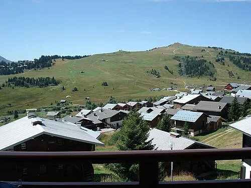 Mont Bisanne Mountain, Villard-sur-Doron14 km NE
-
Pointe de Camborsier Mountain, Cevins11 km SE
-
Pointe de la Grande Journée Mountain, Tours-en-Savoie8.2 km E
Sources & licences
Data last updated: