Breuchotte
Located in Arrondissement of Lure, Haute-Saône Coordinates: 47°50′10″ N 6°28′09″ E
- Population
- 303
- 303
- Elevation
- 333 m
- above sea level
- Local time
- UTC+01:00
- Europe/Paris · UTC+01:00
- Places inside
- 1
- listed under Breuchotte
- Airports
- BSL EuroAirport Basel–Mulhouse–Freiburg83 km
- SXB Strasbourg Airport116 km
About Breuchotte
Breuchotte is a village. Location: Arrondissement of Lure, Haute-Saône. Population: 303. Elevation: 333 m. The best months to visit are June–September. The nearest airport is EuroAirport Basel–Mulhouse–Freiburg (83 km). Nearby sights include Kloster Luxeuil-les-Bains and La Planche des Belles Filles.
Climate of Breuchotte
Best months for sightseeingBest months for sightseeing: June–September.
This month · November
A wet month
Day 9° · Night 2° · Rain 104 mm
- Hottest month
- July (day 24°)
- Coldest month
- January (night -2°)
- Wettest month
- December (109 mm)
- Driest month
- April (73 mm)
Bars: average monthly low and high temperature. Below: precipitation. Monthly averages for 1970–2000 at about 18 km resolution, adjusted for elevation. Highlighted months are mild and relatively dry. Source: WorldClim 2.1 (CC BY 4.0).
Show values as a table
| Month | Jan | Feb | Mar | Apr | May | Jun | Jul | Aug | Sep | Oct | Nov | Dec |
|---|---|---|---|---|---|---|---|---|---|---|---|---|
| Average high (°C) | 4° | 6° | 10° | 14° | 19° | 22° | 24° | 24° | 20° | 15° | 9° | 6° |
| Average low (°C) | -2° | -1° | 1° | 3° | 8° | 11° | 13° | 13° | 9° | 6° | 2° | -1° |
| Precipitation (mm) | 93 | 87 | 77 | 73 | 94 | 96 | 84 | 75 | 86 | 93 | 104 | 109 |
Other places to visit in this season: June July August September
How to get to Breuchotte
The nearest airport is EuroAirport Basel–Mulhouse–Freiburg (BSL), 83 km to the east as the crow flies. The nearest large city is Mulhouse, 65 km to the east.
Airports
- EuroAirport Basel–Mulhouse–Freiburg (BSL) Bâle / Mulhouse 83 kmeast
- Strasbourg Airport (SXB) Strasbourg 116 kmnortheast
- Dole Tavaux Airport (DLE) Dole 118 kmsouthwest
Nearby large cities
- Mulhouse Population: 111.4K 65 kmeast
- Besançon Population: 128.4K 74 kmsouthwest
- Basel Population: 177.6K 88 kmeast
- Nancy Population: 105.1K 97 kmnorth
- Freiburg im Breisgau Population: 237.5K 105 kmeast
Straight-line distances; road distances are longer. Airport data: OurAirports.
Day trips from Breuchotte
Within 100 km: 296 historic and cultural sites, 757 natural sites, 178 lakes, rivers and coasts.
0–25 km32 places
- Mont Jarroz Mountain 17 kmS
- Saint-Mont Mountain 24 kmNE
- Forêt de Saint-Antoine Natural site 23 kmE
- Bois du Rey Natural site 12 kmNE
25–60 km389 places
- lac des Truites - du Forlet Lake 54 kmNE
- Lac Noir Lake 56 kmNE
- Lac de Longemer Lake 44 kmNE
- Lac de Gérardmer Lake 39 kmNE
60–100 km810 places
- Sankt Petersinsel Island 99 kmSE
- Lake Biel Lake 99 kmSE
- Lac des Taillères Lake 97 kmS
- Etang de la Gruère Lake 79 kmSE
Straight-line distances.
Places in Breuchotte
1 placeBar: population relative to the most populous place in this list.
Nearby attractions & nature
Everything nearby-
Kloster Luxeuil-les-Bains Attraction, Luxeuil-les-Bains6.9 km W
-
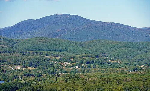 La Planche des Belles Filles Mountain, Plancher-les-Mines24 km E
-
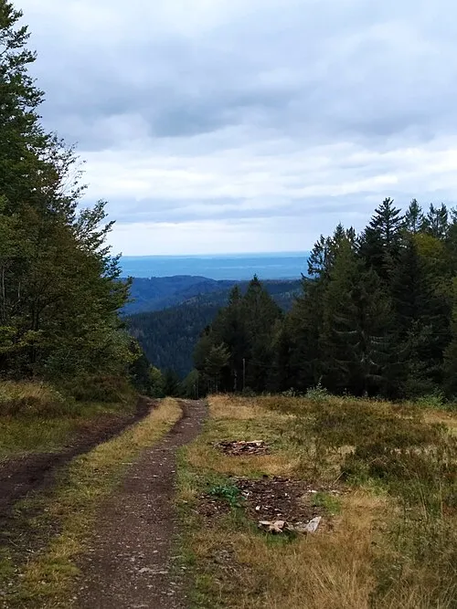 Le Ballon Mountain, Plancher-les-Mines22 km E
-
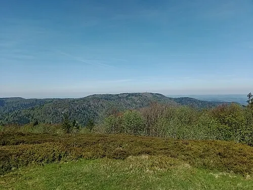 Ballon de Servance Mountain, Saint-Maurice-sur-Moselle24 km E
-
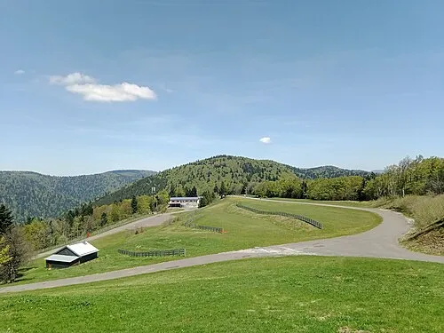 Ballon Saint-Antoine Mountain, Plancher-les-Mines25 km E
-
Le Mont Cornu Mountain, Servance-Miellin17 km E
Sources & licences
Data last updated: