Forêt de la Montagne
Located in Haute-Saône, Bourgogne-Franche-Comté Coordinates: 47°49′00″ N 6°47′00″ E
- Elevation
- 960 m
- above sea level
- Local time
- UTC+01:00
- Europe/Paris · UTC+01:00
- Airports
- BSL EuroAirport Basel–Mulhouse–Freiburg60 km
- SXB Strasbourg Airport102 km
About Forêt de la Montagne
Forêt de la Montagne is a natural site. Location: Haute-Saône, Bourgogne-Franche-Comté. The best months to visit are June–August. The nearest airport is EuroAirport Basel–Mulhouse–Freiburg (60 km). Nearby sights include Ballon de Servance and Forêt de Saint-Antoine.
Photos of Forêt de la Montagne
-
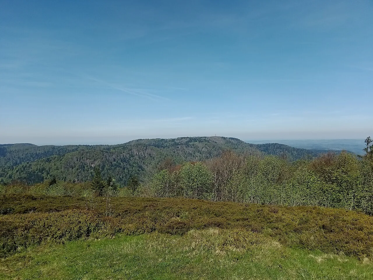
Ballon de Servance Rémih · CC BY-SA 4.0 -
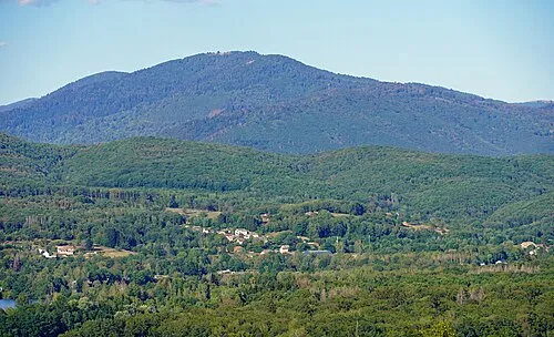
La Planche des Belles Filles A.BourgeoisP · CC BY-SA 4.0 -
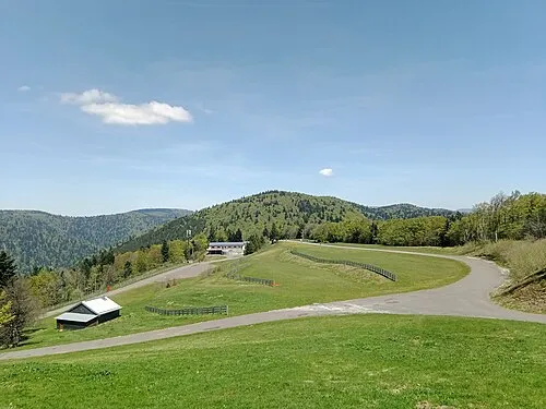
Ballon Saint-Antoine Rémih · CC BY-SA 4.0 -
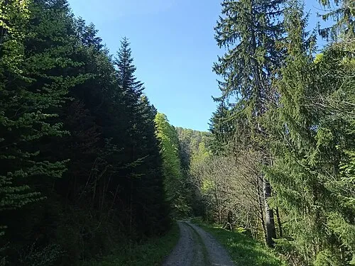
Tête des Fougères Rémih · CC BY-SA 4.0 -
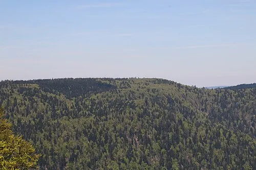
Plateau de Bravouse Rémih · CC BY-SA 4.0


Climate of Forêt de la Montagne
Best months for sightseeingBest months for sightseeing: June–August.
This month · November
A wet month
Day 5° · Night -2° · Rain 112 mm
- Hottest month
- July (day 20°)
- Coldest month
- January (night -5°)
- Wettest month
- December (120 mm)
- Driest month
- April (82 mm)
Bars: average monthly low and high temperature. Below: precipitation. Monthly averages for 1970–2000 at about 18 km resolution, adjusted for elevation. Highlighted months are mild and relatively dry. Source: WorldClim 2.1 (CC BY 4.0).
Show values as a table
| Month | Jan | Feb | Mar | Apr | May | Jun | Jul | Aug | Sep | Oct | Nov | Dec |
|---|---|---|---|---|---|---|---|---|---|---|---|---|
| Average high (°C) | 1° | 2° | 6° | 9° | 14° | 17° | 20° | 19° | 16° | 11° | 5° | 2° |
| Average low (°C) | -5° | -5° | -2° | 0° | 4° | 7° | 9° | 9° | 6° | 3° | -2° | -4° |
| Precipitation (mm) | 104 | 98 | 84 | 82 | 104 | 102 | 91 | 82 | 94 | 100 | 112 | 120 |
How to get to Forêt de la Montagne
The nearest airport is EuroAirport Basel–Mulhouse–Freiburg (BSL), 60 km to the southeast as the crow flies. The nearest large city is Mulhouse, 41 km to the east.
Airports
- EuroAirport Basel–Mulhouse–Freiburg (BSL) Bâle / Mulhouse 60 kmsoutheast
- Strasbourg Airport (SXB) Strasbourg 102 kmnortheast
- Bern Airport (BRN) Bern 114 kmsoutheast
Nearby large cities
- Mulhouse Population: 111.4K 41 kmeast
- Basel Population: 177.6K 66 kmsoutheast
- Freiburg im Breisgau Population: 237.5K 82 kmeast
- Besançon Population: 128.4K 85 kmsouthwest
- Nancy Population: 105.1K 106 kmnorthwest
Straight-line distances; road distances are longer. Airport data: OurAirports.
Day trips from Forêt de la Montagne
Within 100 km: 344 historic and cultural sites, 1,015 natural sites, 260 lakes, rivers and coasts.
0–25 km184 places
- Lac de la Lauch Lake 23 kmNE
- Lac d'Alfeld Lake 7 kmE
- lac des Perches - Sternsee Lake 11 kmE
- lac de Sewen Lake 9 kmE
25–60 km334 places
- Etangs Rougeat Lake 49 kmSE
- Pisciculture Lake 45 kmSE
- Etang du Milieu Lake 48 kmSE
- Etangs Rougeat Lake 48 kmSE
60–100 km1,101 places
- Sankt Petersinsel Island 87 kmS
- Lake Neuchâtel Lake 99 kmS
- Lake Biel Lake 87 kmS
- Inkwilersee Lake 95 kmSE
Straight-line distances.
Nearest towns and villages
-
Miellin Village, Servance-Miellin3.6 km W
-
Saint-Maurice-sur-Moselle Village, Arrondissement of Épinal5.5 km NE
-
Haut-du-Them-Château-Lambert Village, Arrondissement of Lure5.4 km NW
-
Saint-Maurice-sur-Moselle Village, Saint-Maurice-sur-Moselle5.6 km NE
-
Fresse-sur-Moselle Village, Arrondissement of Épinal6.6 km N
-
Lepuix Village, Arrondissement of Belfort6.6 km S
Nearby attractions & nature
Everything nearby-
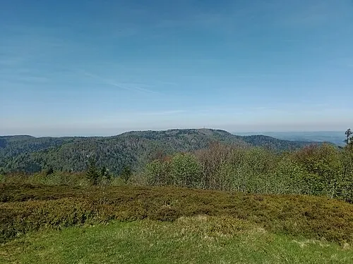 Ballon de Servance Mountain, Saint-Maurice-sur-Moselle1.6 km NE
-
Forêt de Saint-Antoine Natural site, Haute-Saône0.9 km W
-
Plateau de Bravouse Mountain, Servance-Miellin1.7 km SW
-
Tête des Fougères Mountain, Plancher-les-Mines3 km SE
-
Tête de la Grande Goutte Mountain, Plancher-les-Mines2.8 km E
-
Ballon Saint-Antoine Mountain, Plancher-les-Mines3.6 km S
-
Tête de Demesy Mountain, Lepuix3.2 km SE
-
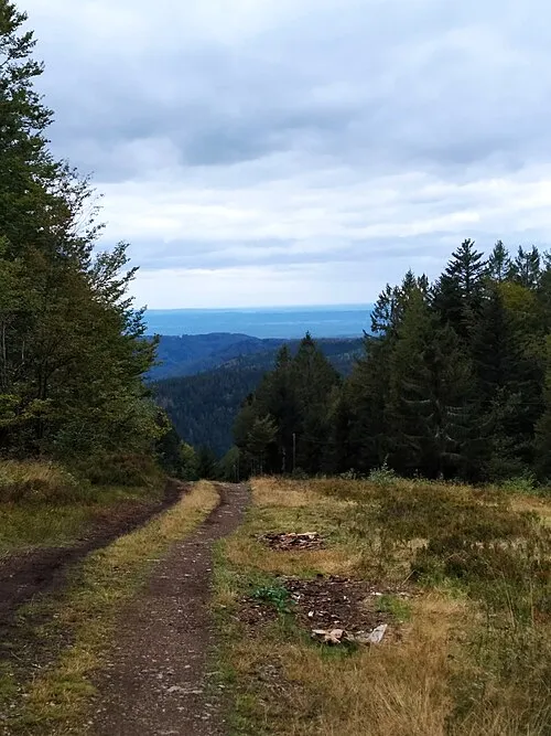 Le Ballon Mountain, Plancher-les-Mines4.1 km SW
More nature in France
-
La Planche des Belles Filles Mountain, Plancher-les-Mines5.5 km S
-
Le Mont Cornu Mountain, Servance-Miellin6.6 km W
-
Tête des Sapins Mountain, Plancher-les-Mines6.6 km S
-
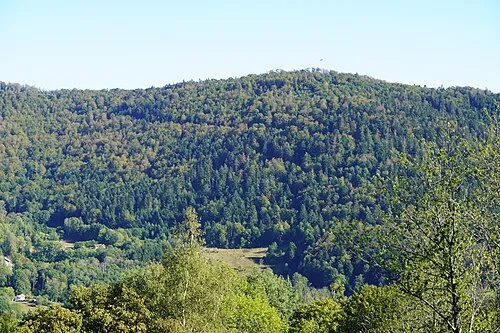 Mont Ménard Mountain, Plancher-les-Mines7.9 km S
-
Bois de Nan Natural site, Haute-Saône23 km S
-
Bois des Franches Communes Natural site, Haute-Saône27 km SW
Sources & licences
Data last updated: