Grands Bois
Located in Territoire de Belfort, Bourgogne-Franche-Comté Coordinates: 47°32′12″ N 7°03′22″ E
- Elevation
- 412 m
- above sea level
- Local time
- UTC+01:00
- Europe/Paris · UTC+01:00
- Airports
- BSL EuroAirport Basel–Mulhouse–Freiburg36 km
- BRN Bern Airport77 km
About Grands Bois
Grands Bois is a natural site. Location: Territoire de Belfort, Bourgogne-Franche-Comté. The best months to visit are June–September. The nearest airport is EuroAirport Basel–Mulhouse–Freiburg (36 km). Nearby sights include Vendeline and Coeuvatte.
Climate of Grands Bois
Best months for sightseeingBest months for sightseeing: June–September.
This month · November
A cold month
Day 8° · Night 1° · Rain 80 mm
- Hottest month
- July (day 24°)
- Coldest month
- January (night -2°)
- Wettest month
- May (86 mm)
- Driest month
- March (59 mm)
Bars: average monthly low and high temperature. Below: precipitation. Monthly averages for 1970–2000 at about 18 km resolution, adjusted for elevation. Highlighted months are mild and relatively dry. Source: WorldClim 2.1 (CC BY 4.0).
Show values as a table
| Month | Jan | Feb | Mar | Apr | May | Jun | Jul | Aug | Sep | Oct | Nov | Dec |
|---|---|---|---|---|---|---|---|---|---|---|---|---|
| Average high (°C) | 3° | 5° | 10° | 13° | 18° | 21° | 24° | 24° | 19° | 14° | 8° | 4° |
| Average low (°C) | -2° | -2° | 1° | 3° | 7° | 10° | 13° | 12° | 9° | 5° | 1° | -1° |
| Precipitation (mm) | 70 | 68 | 59 | 64 | 86 | 84 | 76 | 71 | 75 | 75 | 80 | 83 |
Other places to visit in this season: June July August September
How to get to Grands Bois
The nearest airport is EuroAirport Basel–Mulhouse–Freiburg (BSL), 36 km to the east as the crow flies. The nearest large city is Mulhouse, 31 km to the northeast.
Airports
- EuroAirport Basel–Mulhouse–Freiburg (BSL) Bâle / Mulhouse 36 kmeast
- Bern Airport (BRN) Bern 77 kmsoutheast
- Zürich Airport (ZRH) Zurich 113 kmeast
Nearby large cities
- Mulhouse Population: 111.4K 31 kmnortheast
- Basel Population: 177.6K 39 kmeast
- Bern Population: 121.6K 72 kmsoutheast
- Freiburg im Breisgau Population: 237.5K 79 kmnortheast
- Besançon Population: 128.4K 85 kmwest
Straight-line distances; road distances are longer. Airport data: OurAirports.
Day trips from Grands Bois
Within 100 km: 384 historic and cultural sites, 1,171 natural sites, 353 lakes, rivers and coasts.
0–25 km73 places
- Etangs Rougeat Lake 11 kmSE
- Pisciculture Lake 8 kmSE
- Etang du Milieu Lake 11 kmSE
- Etangs Rougeat Lake 11 kmSE
25–60 km612 places
- Sankt Petersinsel Island 52 kmS
- Lake Biel Lake 51 kmS
- Inkwilersee Lake 59 kmSE
- Häftli Lake 48 kmSE
60–100 km1,223 places
- Kleiner Bremgartenwald Mountain 69 kmSE
- Arbeiterstrandbad Tennwil Beach 91 kmE
- Mauesee-Insel Island 87 kmSE
- Ile d'Ogoz Island 93 kmS
Straight-line distances.
Nearest towns and villages
-
Faverois Village, Arrondissement of Belfort2.2 km SW
-
Faverois Village, Faverois2.3 km SW
-
Courtelevant Village, Arrondissement of Belfort2.8 km SE
-
Florimont Village, Arrondissement of Belfort3 km S
-
Florimont Village, Florimont2.8 km S
-
Courtelevant Village, Courtelevant2.8 km SE
Nearby attractions & nature
Everything nearby-
Vendeline River, Territoire de Belfort2.4 km S
-
Coeuvatte River, Territoire de Belfort4.2 km W
-
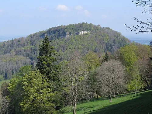 Mont Terri Mountain, Cornol18 km SE
-
Bois de la Genevraie Natural site, Territoire de Belfort11 km SW
-
Pisciculture Lake, Damphreux-Lugnez8.2 km SE
-
Pisciculture Lake, Damphreux-Lugnez8.3 km SE
-
Bois de Hirtzbach Natural site, Haut-Rhin12 km NE
-
Le Morimont Mountain, La Baroche16 km SE
More nature in France
-
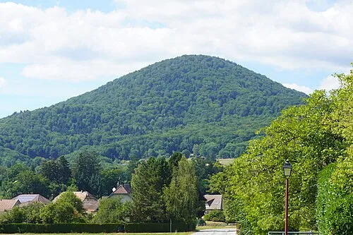 Le Fayé Mountain, Étueffont26 km NW
-
Mont de Romagny Mountain, Romagny-sous-Rougemont22 km N
-
Mont Marty Mountain, Rougemont-le-Château22 km N
-
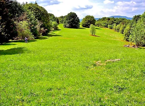 Baerenkopf Mountain, Lamadeleine-Val-des-Anges28 km N
-
Tête le Moine Mountain, Rougemont-le-Château25 km NW
-
Le Haquin Mountain, Rougemont-le-Château27 km N
Sources & licences
Data last updated: