Brélidy
Located in Arrondissement of Guingamp, Côtes-d'Armor Coordinates: 48°39′34″ N 3°13′05″ W
- Population
- 299
- 299
- Elevation
- 69 m
- above sea level
- Local time
- UTC+01:00
- Europe/Paris · UTC+01:00
- Places inside
- 1
- listed under Brélidy
- Airports
- BES Brest Bretagne airport92 km
- JER Jersey Airport97 km
About Brélidy
Brélidy is a village. Location: Arrondissement of Guingamp, Côtes-d'Armor. Population: 299. Elevation: 69 m. The best months to visit are June–September. The nearest airport is Brest Bretagne airport (92 km). Nearby sights include Abbaye de Begar and Leff.
Climate of Brélidy
Best months for sightseeingBest months for sightseeing: June–September.
This month · November
A wet month
Day 12° · Night 7° · Rain 120 mm
- Hottest month
- August (day 21°)
- Coldest month
- February (night 4°)
- Wettest month
- November (120 mm)
- Driest month
- July (48 mm)
Bars: average monthly low and high temperature. Below: precipitation. Monthly averages for 1970–2000 at about 18 km resolution, adjusted for elevation. Highlighted months are mild and relatively dry. Source: WorldClim 2.1 (CC BY 4.0).
Show values as a table
| Month | Jan | Feb | Mar | Apr | May | Jun | Jul | Aug | Sep | Oct | Nov | Dec |
|---|---|---|---|---|---|---|---|---|---|---|---|---|
| Average high (°C) | 9° | 9° | 11° | 13° | 16° | 19° | 21° | 21° | 19° | 16° | 12° | 10° |
| Average low (°C) | 4° | 4° | 5° | 6° | 9° | 11° | 13° | 13° | 12° | 10° | 7° | 5° |
| Precipitation (mm) | 119 | 96 | 87 | 70 | 69 | 56 | 48 | 57 | 79 | 100 | 120 | 120 |
Other places to visit in this season: June July August September
How to get to Brélidy
The nearest airport is Brest Bretagne airport (BES), 92 km to the west as the crow flies. The nearest large city is Brest, 98 km to the west.
Airports
- Brest Bretagne airport (BES) Brest 92 kmwest
- Jersey Airport (JER) St. Peter 97 kmnortheast
- Guernsey Airport (GCI) Saint Peter Port 97 kmnortheast
Nearby large cities
- Brest Population: 144.9K 98 kmwest
- Rennes Population: 227.8K 130 kmsoutheast
- Plymouth Population: 260.2K 202 kmnorth
- Nantes Population: 325.1K 203 kmsoutheast
- Caen Population: 110.6K 218 kmeast
Straight-line distances; road distances are longer. Airport data: OurAirports.
Day trips from Brélidy
Within 100 km: 205 historic and cultural sites, 119 natural sites, 163 lakes, rivers and coasts.
0–25 km64 places
- Kastell Koad Freg Historic site 16 kmW
- Kastell Tonkedeg Historic site 14 kmW
- Trieux River 20 kmNE
- Plage de Trestraou Beach 25 kmNW
25–60 km140 places
- Île Grande Island 30 kmNW
- Plage des Rosaires Beach 36 kmE
- Île Milliau Island 30 kmNW
- Île Logodec Island 26 kmNE
60–100 km283 places
- Plage du Moulin Blanc Beach 94 kmW
- Plage Boutrouilles Beach 88 kmW
- Plage du Mole Beach 88 kmE
- Plage de l'Éventail Beach 89 kmE
Straight-line distances.
Places in Brélidy
1 placeBar: population relative to the most populous place in this list.
Nearby attractions & nature
Everything nearby-
Abbaye de Begar Historic site, Bégard6.6 km SW
-
Leff River, Côtes-d'Armor9.8 km NE
-
Peter II Castle Historic site, Guingamp12 km SE
-
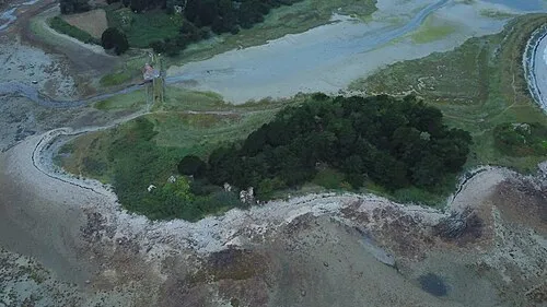 Île Ozac'h Island, Brittany Region21 km N
-
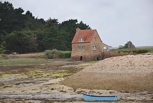 Île Balanec Island, Brittany Region21 km N
-
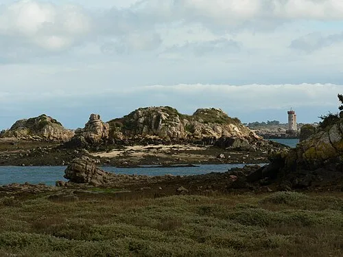 Île à Bois Island, Brittany Region22 km NE
Sources & licences
Data last updated: