Arrondissement of Saint-Brieuc
Located in Côtes-d'Armor, Brittany Region Coordinates: 48°20′48″ N 2°38′50″ W
- Population
- 275,606
- 275.6K
- Elevation
- 203 m
- above sea level
- Local time
- UTC+01:00
- Europe/Paris · UTC+01:00
- Places inside
- 110
- listed under Arrondissement of Saint-Brieuc
- Airports
- RNS Rennes-Saint-Jacques Airport74 km
- JER Jersey Airport101 km
About Arrondissement of Saint-Brieuc
Arrondissement of Saint-Brieuc is a municipality. Location: Côtes-d'Armor, Brittany Region. Population: 275,606. Elevation: 203 m. The best months to visit are June–September. The nearest airport is Rennes-Saint-Jacques Airport (74 km). Nearby sights include Forêt de Bosquen and Forêt de Lorge.
Climate of Arrondissement of Saint-Brieuc
Best months for sightseeingBest months for sightseeing: June–September.
This month · November
A wet month
Day 11° · Night 6° · Rain 105 mm
- Hottest month
- August (day 21°)
- Coldest month
- February (night 3°)
- Wettest month
- November (105 mm)
- Driest month
- July (45 mm)
Bars: average monthly low and high temperature. Below: precipitation. Monthly averages for 1970–2000 at about 18 km resolution, adjusted for elevation. Highlighted months are mild and relatively dry. Source: WorldClim 2.1 (CC BY 4.0).
Show values as a table
| Month | Jan | Feb | Mar | Apr | May | Jun | Jul | Aug | Sep | Oct | Nov | Dec |
|---|---|---|---|---|---|---|---|---|---|---|---|---|
| Average high (°C) | 8° | 9° | 11° | 12° | 16° | 19° | 21° | 21° | 19° | 15° | 11° | 9° |
| Average low (°C) | 3° | 3° | 4° | 5° | 8° | 11° | 13° | 13° | 11° | 9° | 6° | 4° |
| Precipitation (mm) | 99 | 78 | 73 | 61 | 64 | 50 | 45 | 50 | 69 | 89 | 105 | 100 |
Other places to visit in this season: June July August September
How to get to Arrondissement of Saint-Brieuc
The nearest airport is Rennes-Saint-Jacques Airport (RNS), 74 km to the southeast as the crow flies. The nearest large city is Rennes, 77 km to the east.
Airports
- Rennes-Saint-Jacques Airport (RNS) Saint-Jacques-de-la-Lande, Ille-et-Vilaine 74 kmsoutheast
- Jersey Airport (JER) St. Peter 101 kmnorth
- Guernsey Airport (GCI) Saint Peter Port 121 kmnorth
Nearby large cities
- Rennes Population: 227.8K 77 kmeast
- Brest Population: 144.9K 136 kmwest
- Nantes Population: 325.1K 150 kmsoutheast
- Angers Population: 168.3K 184 kmsoutheast
- Caen Population: 110.6K 192 kmnortheast
Straight-line distances; road distances are longer. Airport data: OurAirports.
Day trips from Arrondissement of Saint-Brieuc
Within 100 km: 231 historic and cultural sites, 145 natural sites, 294 lakes, rivers and coasts.
0–25 km25 places
- Bel Air Mountain 6 kmSE
- Anse d'Yffiniac Natural site 20 kmN
- Forêt de Saint-Aubin Natural site 25 kmNE
- Forêt de Loudéac Natural site 15 kmS
25–60 km162 places
- Plage des Rosaires Beach 25 kmN
- Plage du Mole Beach 57 kmNE
- Plage de l'Éventail Beach 58 kmNE
- Le Taurel Island 53 kmNW
60–100 km483 places
- Île de Groix Island 100 kmSW
- Île Grande Island 85 kmNW
- Kastell Koad Freg Historic site 70 kmNW
- Kastell Tonkedeg Historic site 67 kmNW
Straight-line distances.
Arrondissement of Saint-Brieuc and similar cities
Side by side with cities of similar size in the same country: population, elevation and climate.
| Measure | Arrondissement of Saint-Brieuc | Strasbourg | Bordeaux | Montpellier |
|---|---|---|---|---|
| Population | 275.6K | 274.8K | 265.3K | 248.3K |
| Elevation | 203 m | 147 m | 20 m | 55 m |
| Summer day (hottest month) | 21° | 25° | 26° | 29° |
| Winter night (coldest month) | 3° | -1° | 2° | 3° |
| Annual rainfall | 883 mm | 735 mm | 921 mm | 645 mm |
| Best months | Jun–Sep | May–Sep | May–Sep | May–Oct |
| Distance | — | 768 km | 421 km | 729 km |
Climate values are 1970–2000 monthly averages; straight-line distance.
Places in Arrondissement of Saint-Brieuc
110 places- 61 La Prénessaye 891
- 62 Noyal 889
- 63 Moncontour 868
- 64 La Bouillie 857
- 65 Lanrelas 828
- 66 Trébry 817
- 67 Le Vieux-Bourg 787
- 68 Tréveneuc 785
- 69 Saint-Vran 758
- 70 Trémeur 752
- 71 Laurenan 735
- 72 Hémonstoir 717
- 73 Illifaut 700
- 74 Tramain 691
- 75 Éréac 680
- 76 Le Haut-Corlay 672
- 77 Loscouët-sur-Meu 638
- 78 Gausson 620
- 79 Penguily 611
- 80 Saint-Glen 609
- 81 Allineuc 588
- 82 La Malhoure 576
- 83 La Chèze 566
- 84 Le Quillio 553
- 85 Saint-Rieul 548
- 86 Gomené 546
- 87 Saint-Trimoël 533
- 88 Plussulien 492
- 89 Trédias 482
- 90 Saint-Mayeux 469
- 91 Saint-Denoual 452
- 92 Merléac 451
- 93 Grâce-Uzel 425
- 94 Saint-Thélo 419
- 95 Saint-Hervé 408
- 96 Saint-Maudan 399
- 97 Rouillac 396
- 98 La Harmoye 377
- 99 Quintenic 366
- 100 Île-de-Bréhat 364
- 101 Caurel 362
- 102 Saint-Étienne-du-Gué-de-l'Isle 355
- 103 Saint-Gilles-Vieux-Marché 351
- 104 Saint-Martin-des-Prés 320
- 105 Saint-Gildas 278
- 106 Saint-Bihy 261
- 107 Saint-Connec 255
- 108 Mérillac 235
- 109 Le Bodéo 162
- 110 Le Leslay 158
Bar: population relative to the most populous place in this list.
Nearby attractions & nature
Everything nearby-
Forêt de Bosquen Natural site, Côtes-d'Armor14 km E
-
Forêt de Lorge Natural site, Côtes-d'Armor13 km W
-
Urne River, Côtes-d'Armor16 km N
-
Ruisseau la Truite River, Côtes-d'Armor16 km N
-
Chifrouet River, Côtes-d'Armor17 km NE
-
Forêt de Loudéac Natural site, Côtes-d'Armor15 km S
-
Ruisseau d'Évran River, Côtes-d'Armor18 km N
-
Forêt de Saint-Aubin Natural site, Côtes-d'Armor25 km NE
Other cities and towns in Côtes-d'Armor
-
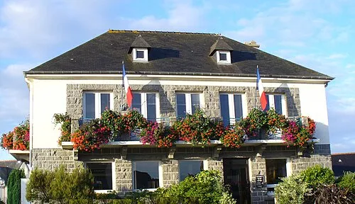 Langueux Town, Langueux17 km N
-
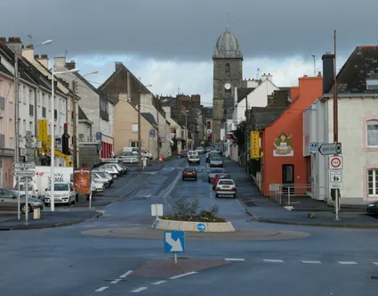 Loudéac Town, Loudéac20 km SW
-
Lamballe Town, Lamballe-Armor17 km NE
-
Plédran Town, Plédran13 km NW
-
Arrondissement of Dinan Municipality, Côtes-d'Armor39 km E
-
Saint-Brieuc City, Saint-Brieuc21 km NW
Sources & licences
Data last updated: