- Elevation
- 4 m
- above sea level
- Local time
- UTC+01:00
- Europe/Paris · UTC+01:00
- Airports
- BES Brest Bretagne airport49 km
- GCI Guernsey Airport218 km
About Étang de Laoual
Étang de Laoual is a lake. Location: Brittany Region, France. Elevation: 4 m.
In comparison
- 6 sights and natural places within 10 km Baie des Trépassés, Saint-They
Climate of Étang de Laoual
Best months for sightseeingBest months for sightseeing: June–September.
Bars: average monthly low and high temperature. Below: precipitation. Monthly averages for 1970–2000 at about 18 km resolution, adjusted for elevation. Highlighted months are mild and relatively dry. Source: WorldClim 2.1 (CC BY 4.0).
Show values as a table
| Month | Jan | Feb | Mar | Apr | May | Jun | Jul | Aug | Sep | Oct | Nov | Dec |
|---|---|---|---|---|---|---|---|---|---|---|---|---|
| Average high (°C) | 10° | 10° | 11° | 13° | 15° | 17° | 19° | 20° | 18° | 16° | 13° | 11° |
| Average low (°C) | 6° | 6° | 7° | 8° | 10° | 12° | 14° | 14° | 13° | 11° | 9° | 7° |
| Precipitation (mm) | 133 | 107 | 88 | 64 | 63 | 50 | 42 | 57 | 78 | 100 | 128 | 132 |
Other places to visit in this season: June July August September
Airports nearest to Étang de Laoual
- Brest Bretagne airport (BES) Brest 49 km
- Guernsey Airport (GCI) Saint Peter Port 218 km
- Rennes-Saint-Jacques Airport (RNS) Saint-Jacques-de-la-Lande, Ille-et-Vilaine 221 km
Straight-line distance; airports with scheduled flights only. Source: OurAirports (public domain).
Nearest towns and villages
Nearby attractions & nature
Everything nearby-
Baie des Trépassés Natural site, Finistère1.1 km W
-
Saint-They Attraction, Cléden-Cap-Sizun2 km NW
-
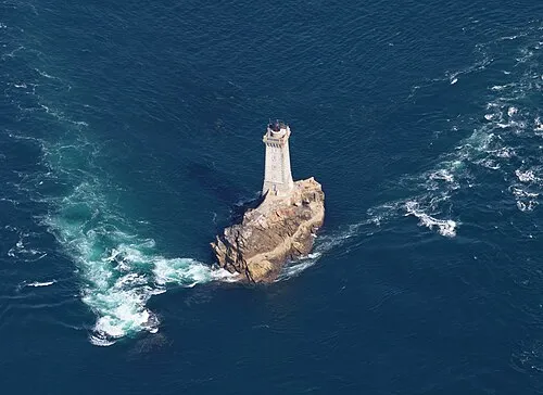 La Vieille Landmark, Finistère4.5 km W
-
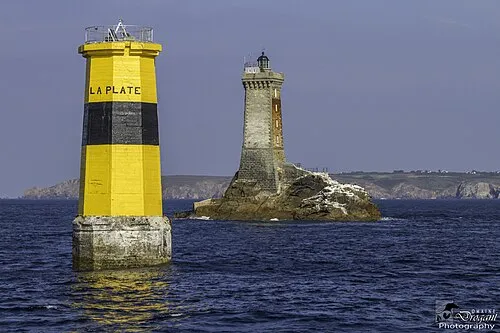 Tourelle de la Plate Landmark, Arrondissement of Quimper4.7 km W
-
Tévennec Island, Brittany Region7.6 km W
-
Kélaouro Island, Brittany Region11 km W
-
Île de Sein Island, Île-de-Sein12 km W
-
Étang de Poulguidou Lake, Finistère19 km E
More lakes, rivers and coasts in France
-
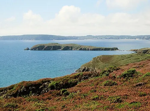 Île de l'Aber Island, Brittany Region28 km NE
-
Plage de Guendrez Beach, Plouhinec17 km E
-
Goyen River, Finistère12 km E
-
Île du Renard Island, Finistère30 km NE
-
Îlot de l'Aber où an Enez Krenn Island, Crozon27 km NE
-
Etang de Kerloc'h Lake, Finistère27 km NE
Sources & licences
Data last updated: