- Elevation
- 15 m
- above sea level
- Local time
- UTC+01:00
- Europe/Paris · UTC+01:00
- Airports
- BES Brest Bretagne airport21 km
- GCI Guernsey Airport159 km
About Quillinadec
Quillinadec is a river. Location: Finistère, Brittany Region. The best months to visit are June–September. The nearest airport is Brest Bretagne airport (21 km). Nearby sights include Quillimadec and Plage Boutrouilles.
Climate of Quillinadec
Best months for sightseeingBest months for sightseeing: June–September.
This month · November
A wet month
Day 12° · Night 7° · Rain 118 mm
- Hottest month
- August (day 20°)
- Coldest month
- February (night 5°)
- Wettest month
- December (134 mm)
- Driest month
- July (47 mm)
Bars: average monthly low and high temperature. Below: precipitation. Monthly averages for 1970–2000 at about 18 km resolution, adjusted for elevation. Highlighted months are mild and relatively dry. Source: WorldClim 2.1 (CC BY 4.0).
Show values as a table
| Month | Jan | Feb | Mar | Apr | May | Jun | Jul | Aug | Sep | Oct | Nov | Dec |
|---|---|---|---|---|---|---|---|---|---|---|---|---|
| Average high (°C) | 10° | 10° | 11° | 13° | 16° | 18° | 20° | 20° | 19° | 16° | 12° | 10° |
| Average low (°C) | 5° | 5° | 5° | 6° | 9° | 11° | 13° | 13° | 12° | 10° | 7° | 6° |
| Precipitation (mm) | 132 | 111 | 92 | 75 | 66 | 53 | 47 | 57 | 83 | 109 | 118 | 134 |
Other places to visit in this season: June July August September
How to get to Quillinadec
The nearest airport is Brest Bretagne airport (BES), 21 km to the south as the crow flies. The nearest large city is Brest, 28 km to the south.
Airports
- Brest Bretagne airport (BES) Brest 21 kmsouth
- Guernsey Airport (GCI) Saint Peter Port 159 kmnortheast
- Jersey Airport (JER) St. Peter 174 kmeast
Nearby large cities
- Brest Population: 144.9K 28 kmsouth
- Plymouth Population: 260.2K 194 kmnorth
- Rennes Population: 227.8K 210 kmeast
- Exeter Population: 130.7K 241 kmnorth
- Nantes Population: 325.1K 265 kmsoutheast
Straight-line distances; road distances are longer. Airport data: OurAirports.
Nearest towns and villages
-
Guissény Village, Arrondissement de Brest0.8 km W
-
Guissény Village, Guissény0.7 km W
-
Kerlouan Village, Arrondissement de Brest2.7 km NE
-
Kerlouan Village, Kerlouan2.8 km NE
-
Kerbrézant Village, Guissény0.1 km NE
-
Kermarguel Village, Kerlouan0.7 km N
Nearby attractions & nature
Everything nearby-
Quillimadec River, Brittany Region0.4 km NE
-
Plage Boutrouilles Beach, Kerlouan2.4 km N
-
Île Kerlouan Island, Brittany Region5.8 km NE
-
Flèche River, Finistère7.9 km E
-
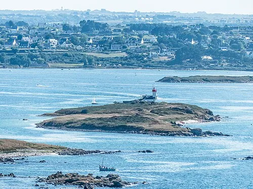 Île Vrac'h Island, Brittany Region13 km W
-
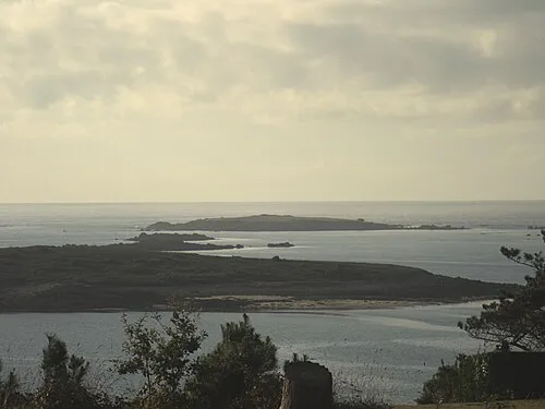 Île Guennoc Island, Brittany Region18 km W
-
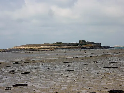 Île Cézon Island, Landéda14 km W
-
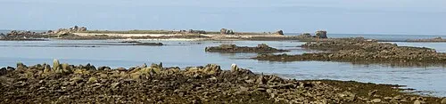 Île Stagadon Island, Brittany Region14 km W
More lakes, rivers and coasts in France
-
Penenes Island, Finistère8.6 km W
-
Île Vénan Island, Plouguerneau11 km W
-
Aber Vrac'h River, Finistère12 km W
-
Île d'Erch Island, Finistère13 km W
-
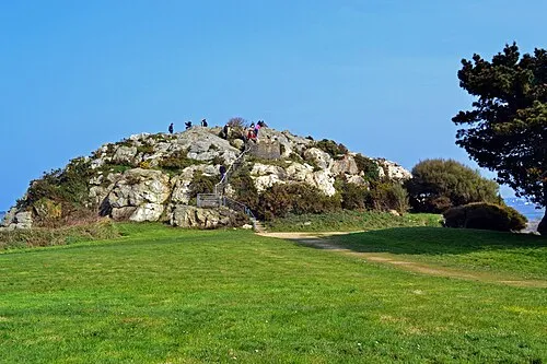 Îlot Sainte-Anne Island, Saint-Pol-de-Léon33 km E
-
Plage du Moulin Blanc Beach, Guipavas26 km S
Sources & licences
Data last updated: