Arrondissement of Redon
Located in Ille-et-Vilaine, Brittany Region Coordinates: 47°50′31″ N 1°49′35″ W
- Population
- 105,773
- 105.8K
- Elevation
- 35 m
- above sea level
- Local time
- UTC+01:00
- Europe/Paris · UTC+01:00
- Places inside
- 50
- listed under Arrondissement of Redon
- Airports
- RNS Rennes-Saint-Jacques Airport26 km
- NTE Nantes Atlantique Airport78 km
About Arrondissement of Redon
Arrondissement of Redon is a municipality. Location: Ille-et-Vilaine, Brittany Region. Population: 105,773. Elevation: 35 m. The best months to visit are June–September. The nearest airport is Rennes-Saint-Jacques Airport (26 km). Nearby sights include Ruisseau de Tréfneu and Ruisseau du Pont au Roux.
Climate of Arrondissement of Redon
Best months for sightseeingBest months for sightseeing: June–September.
This month · November
A cold month
Day 12° · Night 5° · Rain 90 mm
- Hottest month
- August (day 24°)
- Coldest month
- January (night 3°)
- Wettest month
- November (90 mm)
- Driest month
- July (44 mm)
Bars: average monthly low and high temperature. Below: precipitation. Monthly averages for 1970–2000 at about 18 km resolution, adjusted for elevation. Highlighted months are mild and relatively dry. Source: WorldClim 2.1 (CC BY 4.0).
Show values as a table
| Month | Jan | Feb | Mar | Apr | May | Jun | Jul | Aug | Sep | Oct | Nov | Dec |
|---|---|---|---|---|---|---|---|---|---|---|---|---|
| Average high (°C) | 8° | 9° | 12° | 14° | 18° | 21° | 24° | 24° | 21° | 16° | 12° | 9° |
| Average low (°C) | 3° | 3° | 4° | 6° | 9° | 12° | 14° | 13° | 11° | 9° | 5° | 4° |
| Precipitation (mm) | 77 | 64 | 58 | 57 | 66 | 46 | 44 | 51 | 60 | 77 | 90 | 78 |
Other places to visit in this season: June July August September
How to get to Arrondissement of Redon
The nearest airport is Rennes-Saint-Jacques Airport (RNS), 26 km to the north as the crow flies. For international flights: Nantes Atlantique Airport (NTE) (78 km). The nearest large city is Rennes, 32 km to the north.
Airports
- Rennes-Saint-Jacques Airport (RNS) Saint-Jacques-de-la-Lande, Ille-et-Vilaine 26 kmnorth
- Nantes Atlantique Airport (NTE) Nantes 78 kmsouth
- Jersey Airport (JER) St. Peter 154 kmnorth
Nearby large cities
- Rennes Population: 227.8K 32 kmnorth
- Nantes Population: 325.1K 72 kmsouth
- Angers Population: 168.3K 104 kmsoutheast
- Le Mans Population: 144.5K 153 kmeast
- Caen Population: 110.6K 185 kmnortheast
Straight-line distances; road distances are longer. Airport data: OurAirports.
Day trips from Arrondissement of Redon
Within 100 km: 237 historic and cultural sites, 161 natural sites, 296 lakes, rivers and coasts.
0–25 km33 places
- Étang de la Taberge Lake 12 kmS
- Étang de Saint-Just Lake 15 kmSW
- Étang de Renac Lake 18 kmSW
- Lac de Murin Lake 20 kmSW
25–60 km162 places
- Étang de Trémelin Lake 32 kmNW
- Étang de Saint-Aubin Lake 49 kmE
- Étang de Roches Lake 43 kmE
- Étang du Rocher Lake 39 kmSW
60–100 km499 places
- Noirmoutier Island 100 kmS
- Plage de Carnac Beach 98 kmW
- Plage Beg Lann Beach 78 kmSW
- Plage de la Courance Beach 75 kmSW
Straight-line distances.
Arrondissement of Redon and similar cities
Side by side with cities of similar size in the same country: population, elevation and climate.
| Measure | Arrondissement of Redon | Nancy | Boulogne-Billancourt | Argenteuil |
|---|---|---|---|---|
| Population | 105.8K | 105.1K | 108.8K | 101.5K |
| Elevation | 35 m | 212 m | 35 m | 37 m |
| Summer day (hottest month) | 24° | 24° | 25° | 25° |
| Winter night (coldest month) | 3° | -1° | 2° | 2° |
| Annual rainfall | 768 mm | 789 mm | 632 mm | 632 mm |
| Best months | Jun–Sep | Jun–Sep | May–Sep | May–Sep |
| Distance | — | 602 km | 321 km | 326 km |
Climate values are 1970–2000 monthly averages; straight-line distance.
Places in Arrondissement of Redon
50 places- 1 Redon 8.9K
- 2 Guichen 8.4K
- 3 Bain-de-Bretagne 7.2K
- 4 Guipry-Messac 6.9K
- 5 Goven 4.4K
- 6 Val d'Anast 3.9K
- 7 Guignen 3.9K
- 8 Pipriac 3.7K
- 9 Bains-sur-Oust 3.5K
- 10 Bourg-des-Comptes 3.2K
- 11 Crevin 2.8K
- 12 Pléchâtel 2.7K
- 13 Grand-Fougeray 2.5K
- 14 Sainte-Marie 2.3K
- 15 Baulon 2.1K
- 16 Sixt-sur-Aff 2.1K
- 17 Saint-Senoux 1.8K
- 18 Chanteloup 1.8K
- 19 Lassy 1.7K
- 20 Ercé-en-Lamée 1.5K
- 21 Langon 1.4K
- 22 La Chapelle-Bouëxic 1.4K
- 23 La Dominelais 1.4K
- 24 Tresbœuf 1.3K
- 25 Poligné 1.2K
- 26 Pancé 1.2K
- 27 Le Sel-de-Bretagne 1.1K
- 28 Saint-Malo-de-Phily 1.1K
- 29 Saint-Just 1.1K
- 30 Teillay 1.1K
- 31 Mernel 1K
- 32 Sainte-Anne-sur-Vilaine 1K
- 33 Renac 993
- 34 La Noë-Blanche 992
- 35 La Chapelle-de-Brain 957
- 36 Le Petit-Fougeray 899
- 37 Bruc-sur-Aff 862
- 38 Saint-Sulpice-des-Landes 801
- 39 Lieuron 792
- 40 Saulnières 754
- 41 Comblessac 690
- 42 Lohéac 656
- 43 La Bosse-de-Bretagne 648
- 44 Bovel 608
- 45 Lalleu 577
- 46 Saint-Séglin 557
- 47 Les Brulais 544
- 48 La Couyère 495
- 49 Saint-Ganton 422
- 50 Loutehel 265
Bar: population relative to the most populous place in this list.
Nearby attractions & nature
Everything nearby-
Ruisseau de Tréfneu River, Ille-et-Vilaine1.4 km SE
-
Ruisseau du Pont au Roux River, Ille-et-Vilaine5.6 km S
-
Semnon River, Ille-et-Vilaine8.3 km NE
-
Ruisseau de Gras River, Ille-et-Vilaine10 km S
-
Ruisseau de la Chalouzais River, Ille-et-Vilaine10 km NE
-
Ruisseau de Canut River, Ille-et-Vilaine10 km NE
-
Étang de la Taberge Lake, Ille-et-Vilaine12 km S
-
Ruisseau de Hodeille River, Ille-et-Vilaine13 km NE
Other cities and towns in Ille-et-Vilaine
-
Bain-de-Bretagne Town, Bain-de-Bretagne11 km E
-
Arrondissement of Rennes Municipality, Ille-et-Vilaine34 km N
-
Guichen Town, Guichen14 km N
-
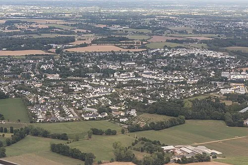 Le Rheu Town, Le Rheu29 km N
-
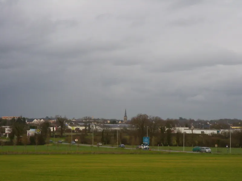 Chantepie Town, Chantepie32 km NE
-
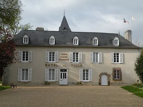 Cesson-Sévigné Town, Cesson-Sévigné35 km NE
Sources & licences
Data last updated: