
- Population
- 166,045
- 166K
- Elevation
- 1,392 m
- above sea level
- Local time
- UTC+01:00
- Europe/Paris · UTC+01:00
- Places inside
- 105
- listed under South Corsica
- Airports
- AJA Ajaccio Napoléon Bonaparte airport30 km
- FSC Figari Sud-Corse Airport46 km
About South Corsica
South Corsica is a district. Location: Corsica, France. Population: 166,045.
Corse-du-Sud (French pronunciation: [kɔʁs dy syd] ; Corsican: Corsica suttana [ˈkorsiga zutˈtana], Pumonte [puˈmɔntɛ] or Pumonti [puˈmɔnti]; English: Southern Corsica) is an administrative department of France, consisting of the southern part of the island of Corsica. The corresponding departmental territorial collectivity merged with that of Haute-Corse on 1 January 2018, forming the single territorial collectivity of Corsica, with territorial elections coinciding with the dissolution of the separate council.
Source: Wikipedia · CC BY-SA 4.0
Photos of South Corsica
-
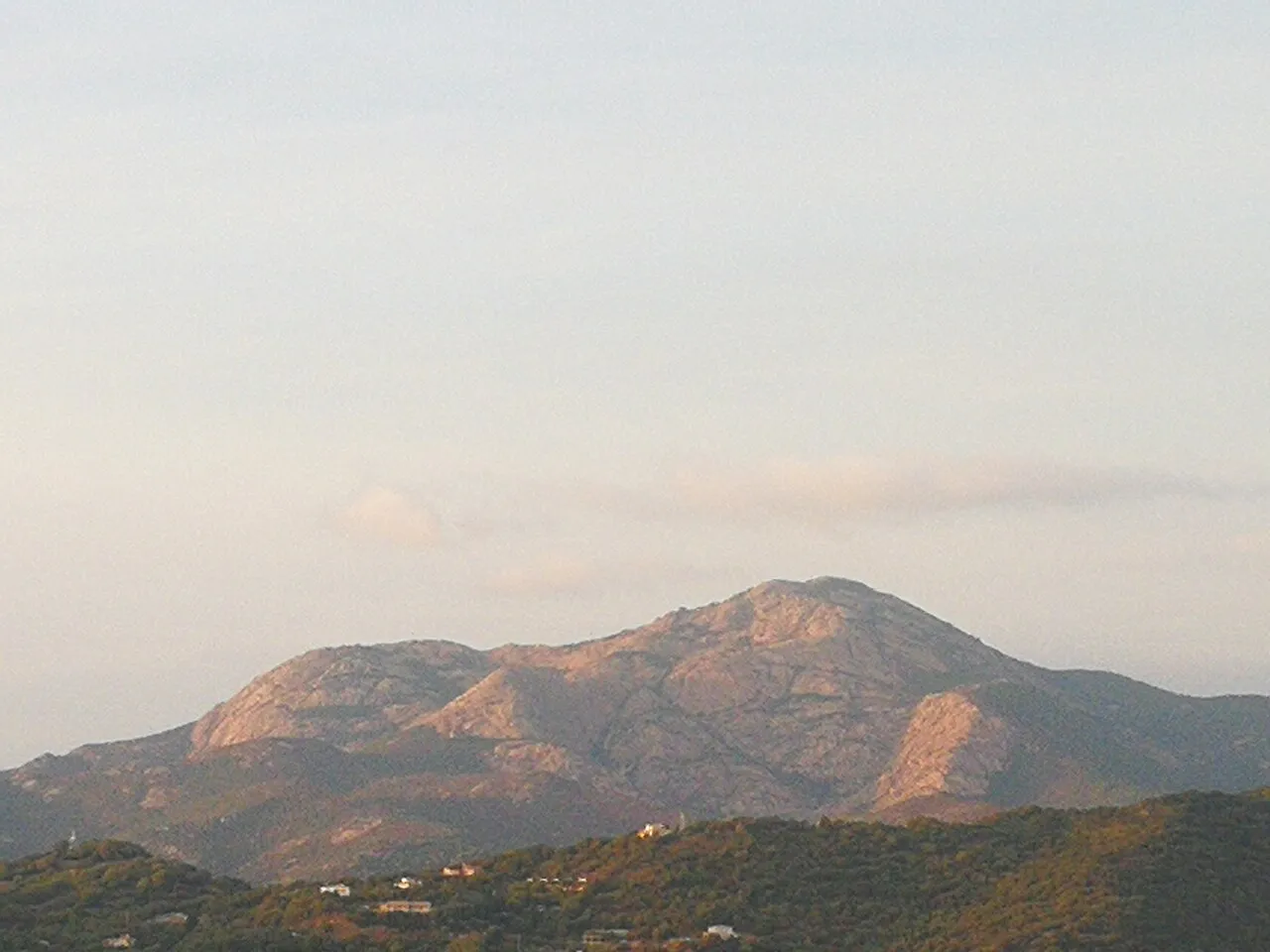
Monte Ravu Rotavdrag · CC BY-SA 4.0 -
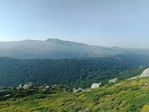
Monte Incudine Rémih · CC BY-SA 4.0 -
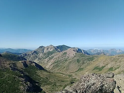
Capu di Guagnarola Rémih · CC BY-SA 4.0 -
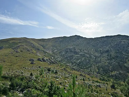
Punta di u Furnellu TeletubAstyanax · CC BY-SA 4.0 -
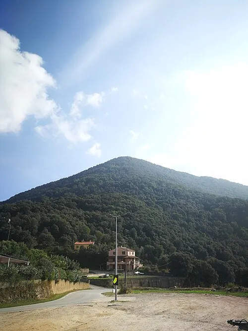
Punta di a Cuma Rotavdrag · CC BY-SA 4.0


Places bordering South Corsica
- Upper Corsica
Population of South Corsica over time
| 2015 | 152,730 | |
|---|---|---|
| 2016 | 155,361 | |
| 2017 | 157,249 | |
| 2018 | 157,853 | |
| 2019 | 158,507 | |
| 2020 | 160,814 | |
| 2021 | 162,942 | |
| 2022 | 166,045 | |
| 2023 | 168,306 |
Censuses and official estimates; source: Wikidata.
Climate of South Corsica
Best months for sightseeingBest months for sightseeing: July–August.
This month · November
A wet month
Day 8° · Night 4° · Rain 107 mm
- Hottest month
- July (day 20°)
- Coldest month
- February (night -1°)
- Wettest month
- November (107 mm)
- Driest month
- July (16 mm)
Bars: average monthly low and high temperature. Below: precipitation. Monthly averages for 1970–2000 at about 18 km resolution, adjusted for elevation. Highlighted months are mild and relatively dry. Source: WorldClim 2.1 (CC BY 4.0).
Show values as a table
| Month | Jan | Feb | Mar | Apr | May | Jun | Jul | Aug | Sep | Oct | Nov | Dec |
|---|---|---|---|---|---|---|---|---|---|---|---|---|
| Average high (°C) | 4° | 4° | 6° | 9° | 13° | 17° | 20° | 20° | 17° | 13° | 8° | 5° |
| Average low (°C) | 0° | -1° | 1° | 3° | 7° | 10° | 13° | 13° | 11° | 8° | 4° | 1° |
| Precipitation (mm) | 85 | 80 | 79 | 67 | 52 | 33 | 16 | 26 | 61 | 97 | 107 | 96 |
How to get to South Corsica
The nearest airport is Ajaccio Napoléon Bonaparte airport (AJA), 30 km to the west as the crow flies. For international flights: Figari Sud-Corse Airport (FSC) (46 km). The nearest large city is Nice, 252 km to the northwest.
Airports
- Ajaccio Napoléon Bonaparte airport (AJA) Ajaccio 30 kmwest
- Figari Sud-Corse Airport (FSC) Figari 46 kmsouth
- Calvi Sainte Catherine Airport (CLY) Calvi 75 kmnorthwest
Nearby large cities
- Nice Population: 342.7K 252 kmnorthwest
- Toulon Population: 168.7K 298 kmnorthwest
- Marseille Population: 877.2K 346 kmnorthwest
- Aix-en-Provence Population: 146.8K 353 kmnorthwest
Straight-line distances; road distances are longer. Airport data: OurAirports.
Day trips from South Corsica
Within 100 km: 134 historic and cultural sites, 562 natural sites, 372 lakes, rivers and coasts.
0–25 km152 places
- Plage de Canella Beach 23 kmSE
- Étang de Palo Lake 20 kmE
- Étang de Gradugine Lake 23 kmE
- Lac de Bastani Lake 17 kmN
25–60 km582 places
- Corsica Island 27 kmN
- Plage du Ruppione Beach 33 kmW
- Plage d'Albitreccia Beach 32 kmW
- Plage de Cupabia Beach 38 kmSW
60–100 km334 places
- Banda Bianca Beach 85 kmN
- Saleccia Beach 90 kmN
- Plage de Nonza Beach 98 kmN
- Plage De Loto Beach 89 kmN
Straight-line distances.
Places in South Corsica
105 placesMountains & nature1
- Valle Longa · Natural site
Lakes, rivers & coasts44
- Ruisseau de Casamintellu · River
- Ruisseau de Catena · River
- Ruisseau de Chialza · River
- Ruisseau de Codi · River
- Ruisseau de Dardo · River
- Ruisseau de Fiumicelli · River
- Ruisseau de Fornellu · River
- Ruisseau de Francolu · River
- Ruisseau de Gaglioli · River
- Ruisseau de la Cioccia · River
- Ruisseau de Lagniato · River
- Ruisseau de Laguniellu · River
- Ruisseau de l'Asinao · River
- Ruisseau de Lava · River
- Ruisseau de l'Avena · River
- Ruisseau de Lonca · River
- Ruisseau de l'Orgiale · River
- Ruisseau de Loriaggiu · River
- Ruisseau de l'Umbertacciu · River
- Ruisseau de Mondone · River
- Ruisseau de Morgone · River
- Ruisseau de Pentica · River
- Ruisseau de Petrosu · River
- Ruisseau de Pian di Santu · River
- Ruisseau de Pruna · River
- Ruisseau de Saint-Antoine · River
- Ruisseau de Sainte-Lucie · River
- Ruisseau de San-Giovanni · River
- Ruisseau de San Petru · River
- Ruisseau de San Vincente · River
- Ruisseau d'Esigna · River
- Ruisseau de Spartano · River
- Ruisseau de Stencia · River
- Ruisseau de Zirione · River
- Ruisseau d'Orgone · River
- Ruisseau du Ruppione · River
- Ruisseau Pozzi · River
- Ruisseau Scopa Piana · River
- Solenzara · River
- Torrent de Monticchi · River
- U Cruzzini · River
- U Fiumicicoli · River
- U Liamone · River
- U Stabiacciu · River
Nature and heritage in South Corsica
Nearby attractions & nature
Everything nearby-
Forêt Territoriale de Sant'Antone Natural site, Corsica5.9 km N
-
Monte Formicula Mountain, San-Gavino-di-Fiumorbo5.4 km NE
-
Forêt de Val Chiara Natural site, Upper Corsica5.7 km E
-
Punta Castellucciu Mountain, Chisa7.3 km E
-
Monte Malo Mountain, Solaro7.4 km SE
-
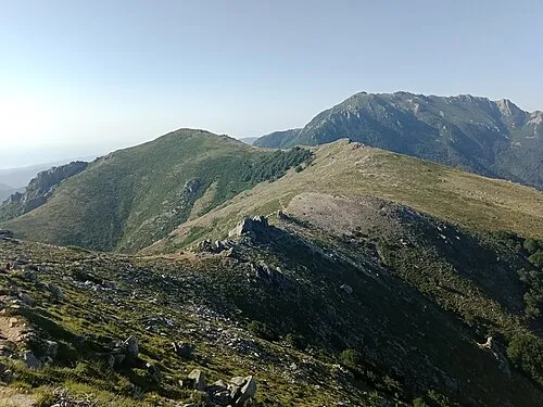 Punta di Campolongo Mountain, San-Gavino-di-Fiumorbo7.9 km NE
Sources & licences
Data last updated: · 2 independent sources