Arrondissement of Corte
Located in Upper Corsica, Corsica Coordinates: 42°15′00″ N 9°15′00″ E
- Population
- 60,986
- 61K
- Elevation
- 299 m
- above sea level
- Local time
- UTC+01:00
- Europe/Paris · UTC+01:00
- Places inside
- 158
- listed under Arrondissement of Corte
- Airports
- BIA Bastia-Poretta International airport39 km
- CLY Calvi Sainte Catherine Airport49 km
About Arrondissement of Corte
Arrondissement of Corte is a municipality. Location: Upper Corsica, Corsica. Population: 60,986. Elevation: 299 m. The best months to visit are May–July, September. The nearest airport is Bastia-Poretta International airport (39 km). Nearby sights include Ruisseau de Saninco and Vecchio.
Photos of Arrondissement of Corte
-
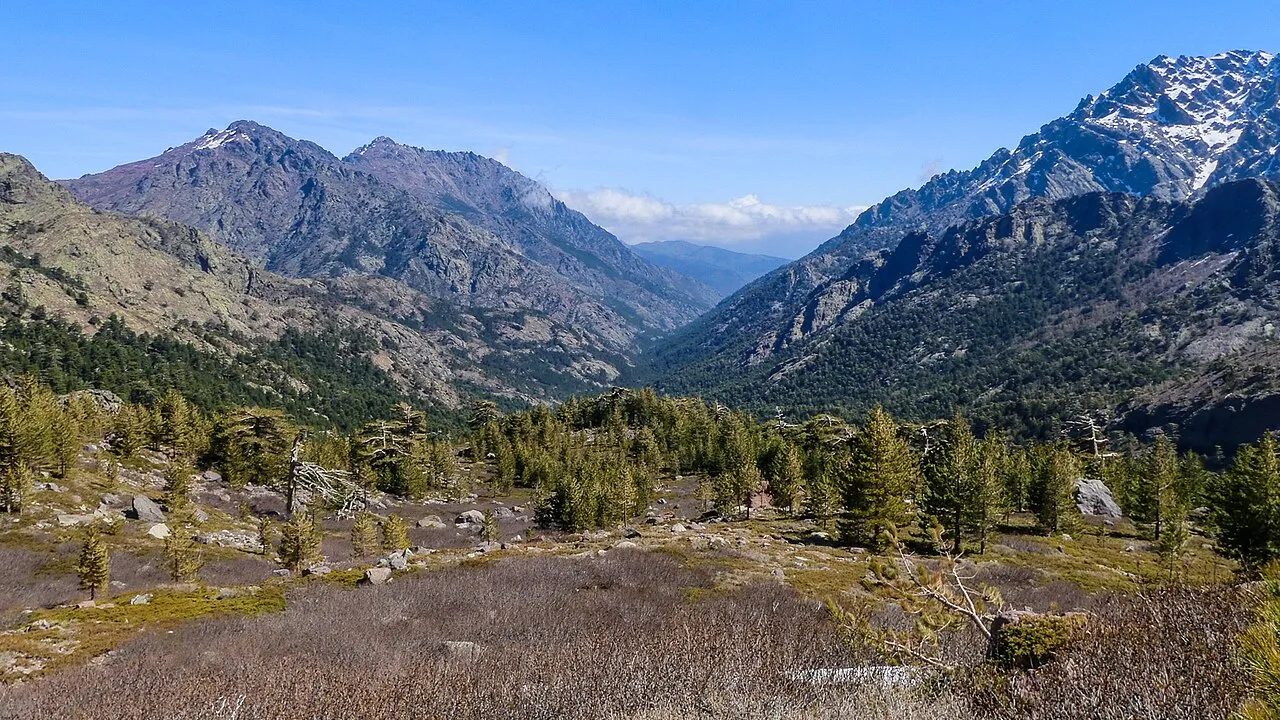
Cima della Statoja Mike Prince from Bangalore, India · CC BY 2.0 -
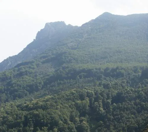
Monte San Petrone azezu · Public domain -
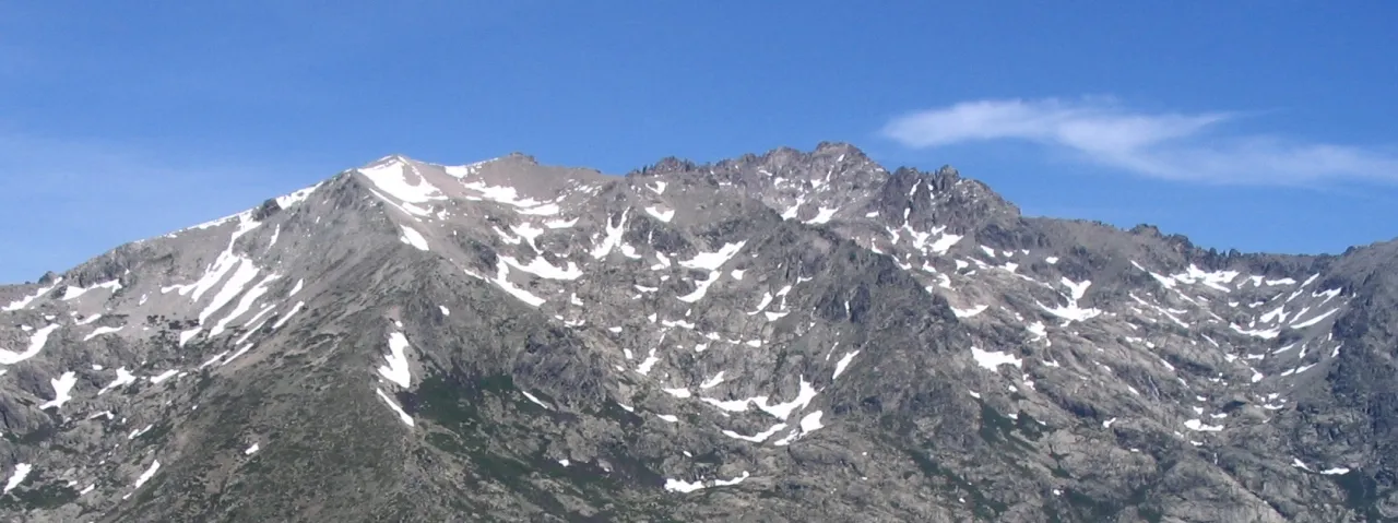
Monte Rotondo Simon Taupenas · CC BY-SA 2.5 -
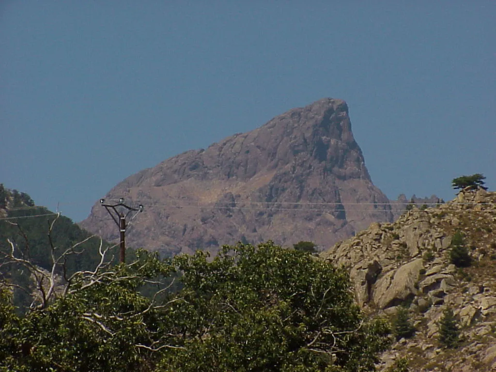
Paglia Orba Corse-calvi at German Wikipedia · CC BY-SA 3.0 -
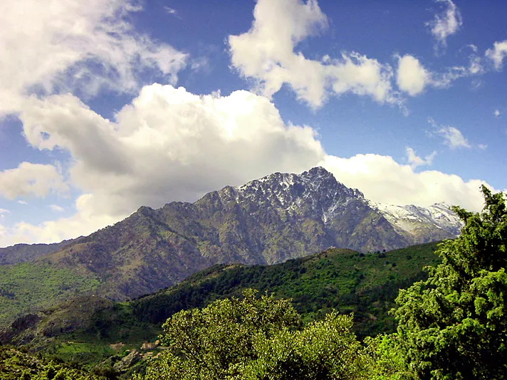
Monte Padro Pierre Bona · CC BY-SA 3.0


Climate of Arrondissement of Corte
Best months for sightseeingBest months for sightseeing: May–July, September.
This month · November
A wet month
Day 16° · Night 9° · Rain 103 mm
- Hottest month
- July (day 28°)
- Coldest month
- February (night 5°)
- Wettest month
- November (103 mm)
- Driest month
- July (14 mm)
Bars: average monthly low and high temperature. Below: precipitation. Monthly averages for 1970–2000 at about 18 km resolution, adjusted for elevation. Highlighted months are mild and relatively dry. Source: WorldClim 2.1 (CC BY 4.0).
Show values as a table
| Month | Jan | Feb | Mar | Apr | May | Jun | Jul | Aug | Sep | Oct | Nov | Dec |
|---|---|---|---|---|---|---|---|---|---|---|---|---|
| Average high (°C) | 11° | 12° | 14° | 16° | 20° | 24° | 28° | 28° | 24° | 20° | 16° | 13° |
| Average low (°C) | 6° | 5° | 7° | 9° | 13° | 16° | 19° | 19° | 17° | 13° | 9° | 7° |
| Precipitation (mm) | 78 | 74 | 68 | 63 | 48 | 33 | 14 | 26 | 66 | 102 | 103 | 91 |
Other places to visit in this season: May June July September
How to get to Arrondissement of Corte
The nearest airport is Bastia-Poretta International airport (BIA), 39 km to the northeast as the crow flies. The nearest large city is Nice, 229 km to the northwest.
Airports
- Bastia-Poretta International airport (BIA) Bastia 39 kmnortheast
- Calvi Sainte Catherine Airport (CLY) Calvi 49 kmnorthwest
- Ajaccio Napoléon Bonaparte airport (AJA) Ajaccio 52 kmsouthwest
Nearby large cities
- Nice Population: 342.7K 229 kmnorthwest
- Toulon Population: 168.7K 289 kmwest
- Marseille Population: 877.2K 337 kmwest
- Aix-en-Provence Population: 146.8K 341 kmnorthwest
Straight-line distances; road distances are longer. Airport data: OurAirports.
Day trips from Arrondissement of Corte
Within 100 km: 143 historic and cultural sites, 591 natural sites, 332 lakes, rivers and coasts.
0–25 km237 places
- Corsica Island 16 kmSW
- Lac de Bastani Lake 23 kmSW
- Réservoir d'Alzitone Lake 25 kmSE
- Capu di a Borba Mountain 18 kmNW
25–60 km547 places
- Plage d'Albitreccia Beach 58 kmSW
- Banda Bianca Beach 48 kmN
- Plage Saint-François Beach 56 kmSW
- Plage du Ricanto Beach 53 kmSW
60–100 km282 places
- Plage du Ruppione Beach 60 kmSW
- Plage de Cupabia Beach 69 kmSW
- Plage de Carataggio Beach 75 kmS
- Plage de Capu Laurosu Beach 72 kmSW
Straight-line distances.
Arrondissement of Corte and similar cities
Side by side with cities of similar size in the same country: population, elevation and climate.
| Measure | Arrondissement of Corte | Troyes | Chambéry | La Roche-sur-Yon |
|---|---|---|---|---|
| Population | 61K | 60.8K | 61.6K | 59.4K |
| Elevation | 299 m | 106 m | 279 m | 73 m |
| Summer day (hottest month) | 28° | 26° | 28° | 25° |
| Winter night (coldest month) | 5° | 0° | -1° | 2° |
| Annual rainfall | 766 mm | 704 mm | 1,074 mm | 770 mm |
| Best months | May–Jul, Sep | May–Sep | May–Sep | Jun–Sep |
| Distance | — | 785 km | 455 km | 980 km |
Climate values are 1970–2000 monthly averages; straight-line distance.
Places in Arrondissement of Corte
158 places- 1 Corte 7.4K
- 2 Ghisonaccia 4.2K
- 3 Prunelli-di-Fiumorbo 3.7K
- 4 Penta-di-Casinca 3.4K
- 5 Vescovato 2.8K
- 6 Ventiseri 2.5K
- 7 Aléria 2.2K
- 8 Cervione 2K
- 9 San-Nicolao 1.9K
- 10 Venzolasca 1.8K
- 11 Santa-Lucia-di-Moriani 1.4K
- 12 Linguizzetta 1.1K
- 13 Morosaglia 1.1K
- 14 Sorbo-Ocagnano 829
- 15 Talasani 763
- 16 Santa-Maria-Poggio 720
- 17 Venaco 712
- 18 Solaro 706
- 19 San-Giuliano 703
- 20 Moltifao 672
- 21 Poggio-Mezzana 663
- 22 Castellare-di-Casinca 651
- 23 Monte 599
- 24 Omessa 578
- 25 Taglio-Isolaccio 571
- 26 Antisanti 507
- 27 Castello-di-Rostino 465
- 28 Vivario 441
- 29 Volpajola 420
- 30 Casanova 378
- 31 Valle-di-Campoloro 342
- 32 Tallone 331
- 33 Serra-di-Fiumorbo 330
- 34 Canale-di-Verde 328
- 35 Isolaccio-di-Fiumorbo 316
- 36 Calacuccia 284
- 37 Vezzani 281
- 38 Santo-Pietro-di-Venaco 279
- 39 Pietroso 258
- 40 Sant'Andréa-di-Cotone 244
- 41 Aghione 238
- 42 Chiatra 225
- 43 Ghisoni 213
- 44 Loreto-di-Casinca 213
- 45 Poggio-di-Venaco 212
- 46 Bisinchi 209
- 47 Albertacce 197
- 48 Campile 194
- 49 La Porta 193
- 50 Pancheraccia 181
- 51 Poggio-di-Nazza 180
- 52 Castirla 172
- 53 Pruno 172
- 54 Olmo 163
- 55 Castifao 160
- 56 Riventosa 158
- 57 Prunelli-di-Casacconi 150
- 58 Piedigriggio 142
- 59 San-Lorenzo 142
- 60 Zalana 141
Bar: population relative to the most populous place in this list.
Nearby attractions & nature
Everything nearby-
Ruisseau de Saninco River, Upper Corsica2 km SW
-
Vecchio River, Upper Corsica2.5 km S
-
Ruisseau de Tenzonio River, Upper Corsica2.6 km W
-
Ruisseau de Limone River, Upper Corsica3 km S
-
Chapelle San Giovanni Historic site, Corsica2.8 km S
-
Ruisseau de Lavagnano River, Upper Corsica3.6 km SE
-
Ruisseau de Zingajo River, Upper Corsica3.9 km NW
-
Ruisseau de Castellare River, Upper Corsica4 km N
Sources & licences
Data last updated: