Paglia Orba
Located in Albertacce, Arrondissement of Corte Coordinates: 42°20′35″ N 8°52′42″ E
- Elevation
- 2,525 m
- above sea level
- Local time
- UTC+01:00
- Europe/Paris · UTC+01:00
- Airports
- CLY Calvi Sainte Catherine Airport22 km
- AJA Ajaccio Napoléon Bonaparte airport47 km
About Paglia Orba
Paglia Orba is a mountain. Location: Albertacce, Arrondissement of Corte. Elevation: 2,525 m.
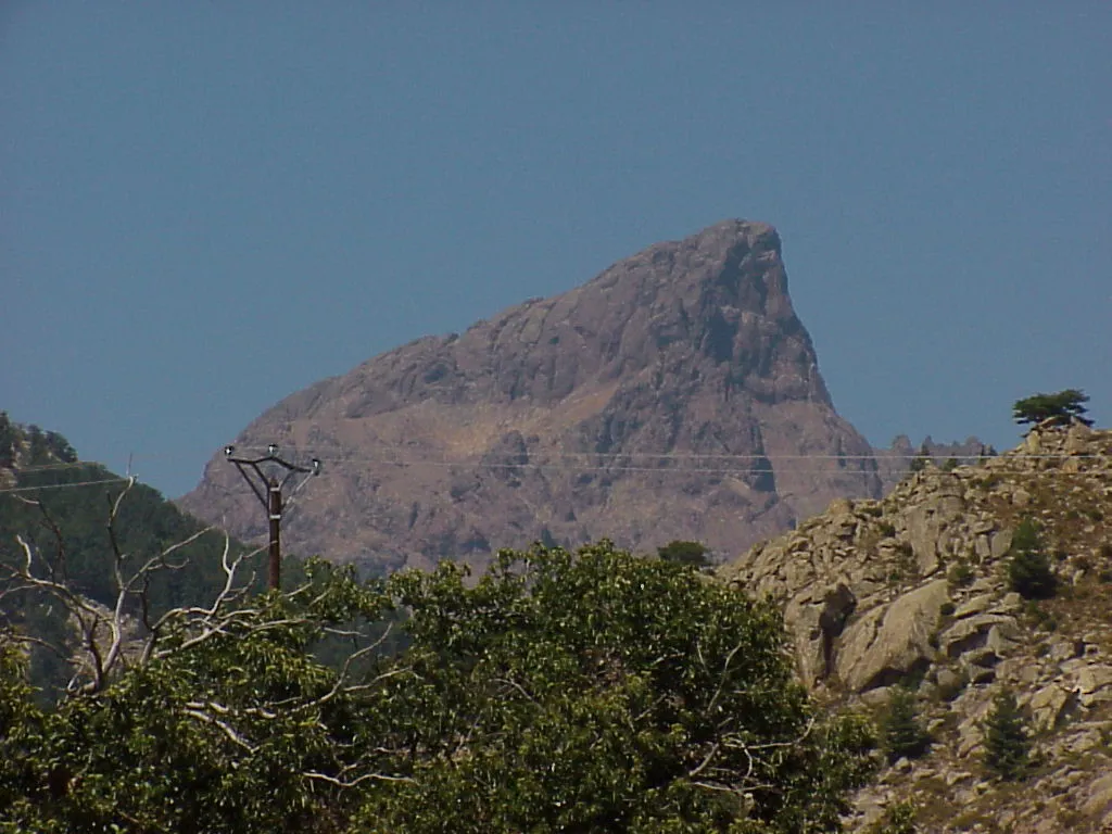
The Paglia Orba (pronounced /ˌpa.ʎa ˈɔːr.ba/) is a mountain peak in the Monte Cinto Massif in Corsica. It rises to an altitude of 2,525 metres (8,284 ft), between the valleys of the Golo (in the Niolo) and the Cavicchia (in the Filosorma). Relatively isolated, this peak, notable for its characteristic tooth-shaped silhouette, dominates the Fango Valley and the west coast of the island.
Source: Wikipedia · CC BY-SA 4.0
At a glance
- Topographic prominence
- 530 m
Source: Wikidata
Photos of Paglia Orba
-

Pierre Bona · CC BY-SA 3.0 -

Pierre Bona · CC BY-SA 4.0 -

Rémih · CC BY-SA 4.0 -

Rémih · CC BY-SA 4.0 -
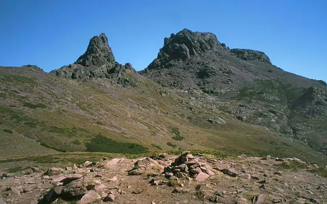
Capu Tafunatu Original bearbeitet von Benutzer:Daniel FR · Public domain


Climate of Paglia Orba
Best months for sightseeingBest months for sightseeing: July–August.
This month · November
A wet month
Day 1° · Night -4° · Rain 127 mm
- Hottest month
- July (day 14°)
- Coldest month
- February (night -7°)
- Wettest month
- November (127 mm)
- Driest month
- July (19 mm)
Bars: average monthly low and high temperature. Below: precipitation. Monthly averages for 1970–2000 at about 18 km resolution, adjusted for elevation. Highlighted months are mild and relatively dry. Source: WorldClim 2.1 (CC BY 4.0).
Show values as a table
| Month | Jan | Feb | Mar | Apr | May | Jun | Jul | Aug | Sep | Oct | Nov | Dec |
|---|---|---|---|---|---|---|---|---|---|---|---|---|
| Average high (°C) | -3° | -3° | -1° | 1° | 6° | 10° | 14° | 14° | 10° | 6° | 1° | -2° |
| Average low (°C) | -7° | -7° | -6° | -4° | 0° | 3° | 7° | 7° | 4° | 1° | -4° | -6° |
| Precipitation (mm) | 110 | 93 | 91 | 81 | 61 | 42 | 19 | 31 | 75 | 118 | 127 | 111 |
How to get to Paglia Orba
The nearest airport is Calvi Sainte Catherine Airport (CLY), 22 km to the north as the crow flies. For international flights: Bastia-Poretta International airport (BIA) (55 km). The nearest large city is Nice, 200 km to the northwest.
Airports
- Calvi Sainte Catherine Airport (CLY) Calvi 22 kmnorth
- Ajaccio Napoléon Bonaparte airport (AJA) Ajaccio 47 kmsouth
- Bastia-Poretta International airport (BIA) Bastia 55 kmnortheast
Nearby large cities
- Nice Population: 342.7K 200 kmnorthwest
- Toulon Population: 168.7K 257 kmwest
- Marseille Population: 877.2K 305 kmwest
- Aix-en-Provence Population: 146.8K 309 kmnorthwest
Straight-line distances; road distances are longer. Airport data: OurAirports.
Day trips from Paglia Orba
Within 100 km: 137 historic and cultural sites, 569 natural sites, 306 lakes, rivers and coasts.
0–25 km236 places
- Plage Bussaglia Beach 17 kmSW
- Étang de Crovani Lake 22 kmNW
- Capu di a Borba Mountain 15 kmE
- Capu di Sarra d'Alzu Mountain 22 kmNW
25–60 km496 places
- Corsica Island 27 kmSE
- Plage du Ruppione Beach 57 kmS
- Plage d'Albitreccia Beach 54 kmS
- Banda Bianca Beach 58 kmNE
60–100 km280 places
- Plage de Cupabia Beach 68 kmS
- Plage de Carataggio Beach 94 kmSE
- Plage de Capu Laurosu Beach 75 kmS
- Plage de Purraja Beach 74 kmS
Straight-line distances.
Nearest towns and villages
-
Albertacce Village, Albertacce8.9 km E
-
Manso Village, Calvi7.5 km W
-
Calasima Village, Albertacce6.2 km E
-
Manso Village, Manso9.1 km NW
-
Mont Estremo Village, Manso6.2 km W
-
Lozzi Village, Lozzi10 km E
Nearby attractions & nature
Everything nearby-
Capu Tafunatu Mountain, Manso0.9 km W
-
Capu Rossu Mountain, Manso1.1 km W
-
Capu Ucellu Mountain, Manso1.6 km NE
-
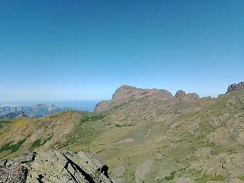 Capu a e Ghiarghiole Mountain, Manso2.5 km SW
-
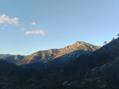 Pointe Liciola Mountain, Albertacce2.6 km SE
-
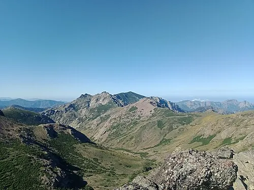 Capu di Guagnarola Mountain, Évisa3.5 km SW
-
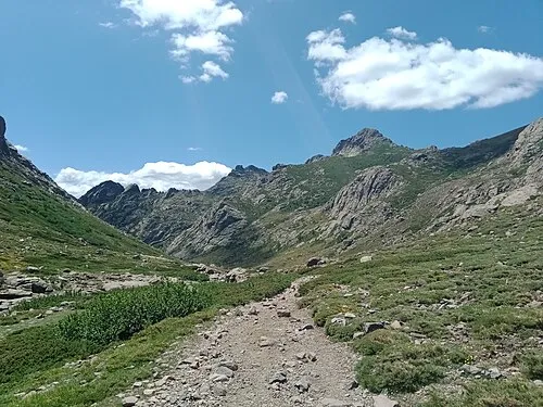 Le Forcelle Mountain, Albertacce4.1 km S
-
Capu a e Poste Mountain, Manso4.2 km N
Sources & licences
Data last updated: · 2 independent sources