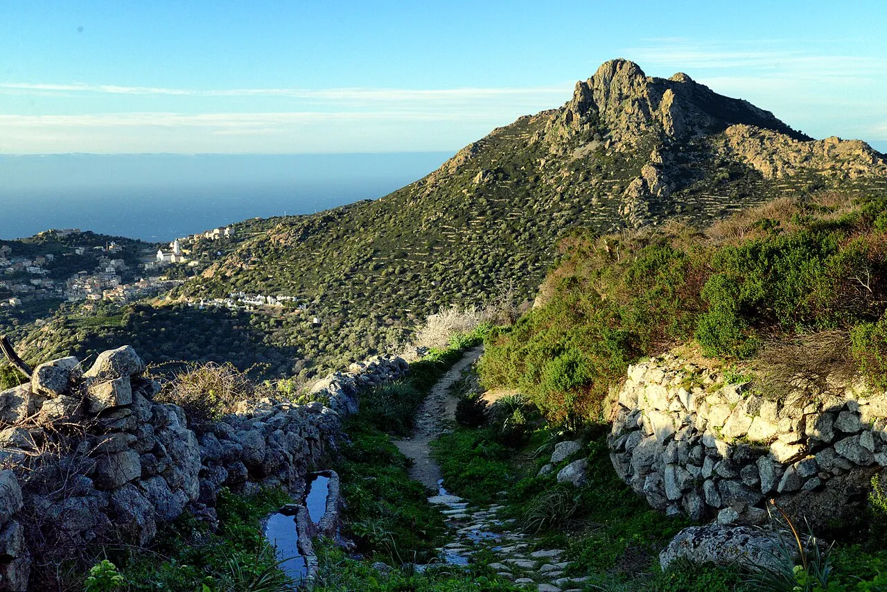
- Elevation
- 561 m
- above sea level
- Local time
- UTC+01:00
- Europe/Paris · UTC+01:00
- Airports
- CLY Calvi Sainte Catherine Airport13 km
- BIA Bastia-Poretta International airport47 km
About Cima di Sant Angelo
Cima di Sant Angelo is a mountain. Location: Corbara, Calvi. Elevation: 561 m. The best months to visit are June–September. The nearest airport is Calvi Sainte Catherine Airport (13 km). Nearby sights include Plage de Bodri and Couvent Saint-Dominique.
Photos of Cima di Sant Angelo
-

Michal Osmenda from Brussels, Belgium · CC BY 2.0 -

Pierre Bona · CC BY-SA 3.0 -

Pierre Bona · CC BY-SA 3.0 -

Chabe01 · CC BY-SA 4.0 -

Chabe01 · CC BY-SA 4.0


Climate of Cima di Sant Angelo
Best months for sightseeingBest months for sightseeing: June–September.
This month · November
A wet month
Day 14° · Night 7° · Rain 116 mm
- Hottest month
- July (day 26°)
- Coldest month
- February (night 3°)
- Wettest month
- October (122 mm)
- Driest month
- July (14 mm)
Bars: average monthly low and high temperature. Below: precipitation. Monthly averages for 1970–2000 at about 18 km resolution, adjusted for elevation. Highlighted months are mild and relatively dry. Source: WorldClim 2.1 (CC BY 4.0).
Show values as a table
| Month | Jan | Feb | Mar | Apr | May | Jun | Jul | Aug | Sep | Oct | Nov | Dec |
|---|---|---|---|---|---|---|---|---|---|---|---|---|
| Average high (°C) | 10° | 10° | 12° | 14° | 19° | 23° | 26° | 26° | 22° | 18° | 14° | 11° |
| Average low (°C) | 4° | 3° | 5° | 7° | 10° | 14° | 17° | 17° | 14° | 11° | 7° | 5° |
| Precipitation (mm) | 86 | 79 | 75 | 73 | 50 | 38 | 14 | 29 | 75 | 122 | 116 | 97 |
Other places to visit in this season: June July August September
How to get to Cima di Sant Angelo
The nearest airport is Calvi Sainte Catherine Airport (CLY), 13 km to the southwest as the crow flies. For international flights: Bastia-Poretta International airport (BIA) (47 km). The nearest large city is Nice, 181 km to the northwest.
Airports
- Calvi Sainte Catherine Airport (CLY) Calvi 13 kmsouthwest
- Bastia-Poretta International airport (BIA) Bastia 47 kmeast
- Ajaccio Napoléon Bonaparte airport (AJA) Ajaccio 77 kmsouth
Nearby large cities
- Nice Population: 342.7K 181 kmnorthwest
- Toulon Population: 168.7K 251 kmwest
- Marseille Population: 877.2K 298 kmwest
- Aix-en-Provence Population: 146.8K 300 kmwest
- Grenoble Population: 158.6K 384 kmnorthwest
Straight-line distances; road distances are longer. Airport data: OurAirports.
Day trips from Cima di Sant Angelo
Within 100 km: 109 historic and cultural sites, 514 natural sites, 252 lakes, rivers and coasts.
0–25 km122 places
- Plage d'Ostriconi Beach 13 kmNE
- Plage de Lozari Beach 9 kmNE
- Plage de Bodri Beach 2 kmN
- Îles Rousses Island 4 kmN
25–60 km475 places
- Corsica Island 52 kmS
- Banda Bianca Beach 44 kmE
- Saleccia Beach 27 kmNE
- Plage Bussaglia Beach 41 kmSW
60–100 km278 places
- Plage du Ruppione Beach 87 kmS
- Plage d'Albitreccia Beach 84 kmS
- Plage de Cupabia Beach 98 kmS
- Plage Saint-François Beach 78 kmS
Straight-line distances.
Nearest towns and villages
-
Corbara Village, Corbara0.9 km NW
-
Santa-Reparata-di-Balagna Village, Calvi1.2 km SE
-
Santa-Reparata-di-Balagna Village, Santa-Reparata-di-Balagna1.3 km SE
-
Pigna Village, Pigna1.6 km SW
-
Pigna Village, Calvi1.7 km SW
-
L'Île-Rousse Village, L'Île-Rousse3.1 km NE
Nearby attractions & nature
Everything nearby-
Plage de Bodri Beach, Corbara2.2 km N
-
Couvent Saint-Dominique Attraction, Corsica0.9 km S
-
Île Siccota Island, Upper Corsica3.7 km NE
-
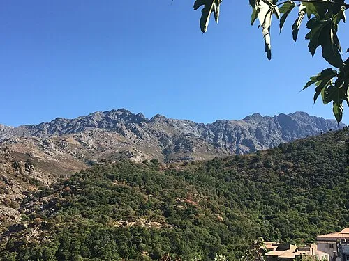 Monte Longu Mountain, Feliceto5.6 km S
-
Îles Rousses Island, Upper Corsica3.9 km N
-
Capu di Bestia Mountain, Montegrosso6.8 km SW
-
Capu d'Occi Mountain, Lavatoggio6.5 km SW
-
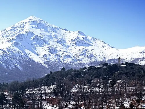 San Parteo Mountain, Pioggiola11 km S
Sources & licences
Data last updated: · 2 independent sources